Landmark: Popo Agie Falls Trail
City: Lander
Country: USA Wyoming
Continent: North America
Popo Agie Falls Trail, Lander, USA Wyoming, North America
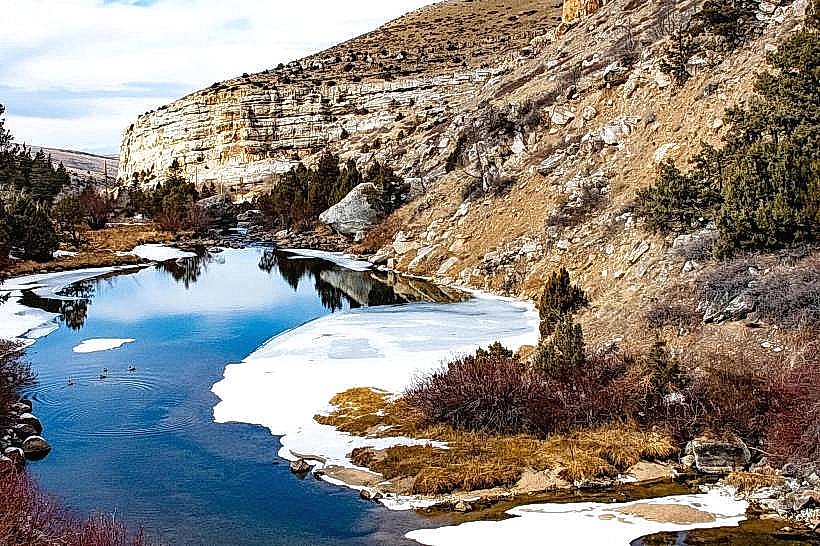
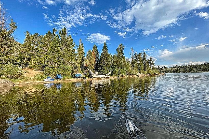
Popo Agie Falls Trail is a hiking path located in the Shoshone National Forest, near Lander, Wyoming. It leads to a series of waterfalls and cascades along the Popo Agie River.
Visual Characteristics
The trail follows the Popo Agie River, characterized by granite rock formations and Ponderosa pine and Douglas fir vegetation. The river itself exhibits clear, cold water, with multiple tiers of waterfalls ranging from 10 to 30 feet in height. Rock surfaces are generally rough and uneven.
Location & Access Logistics
The trailhead is situated approximately 15 miles west of Lander, Wyoming, off US Highway 287. Access is via a well-maintained gravel road, Forest Service Road 300 (also known as Sinks Canyon Road). Parking is available at a designated lot at the trailhead. No public transport services this location.
Historical & Ecological Origin
The geological formations are primarily Precambrian granite, sculpted by glacial and fluvial erosion over millennia. The Popo Agie River is a tributary of the Wind River, contributing to the regional watershed. The area is part of the Shoshone National Forest, established in 1891.
Key Highlights & Activities
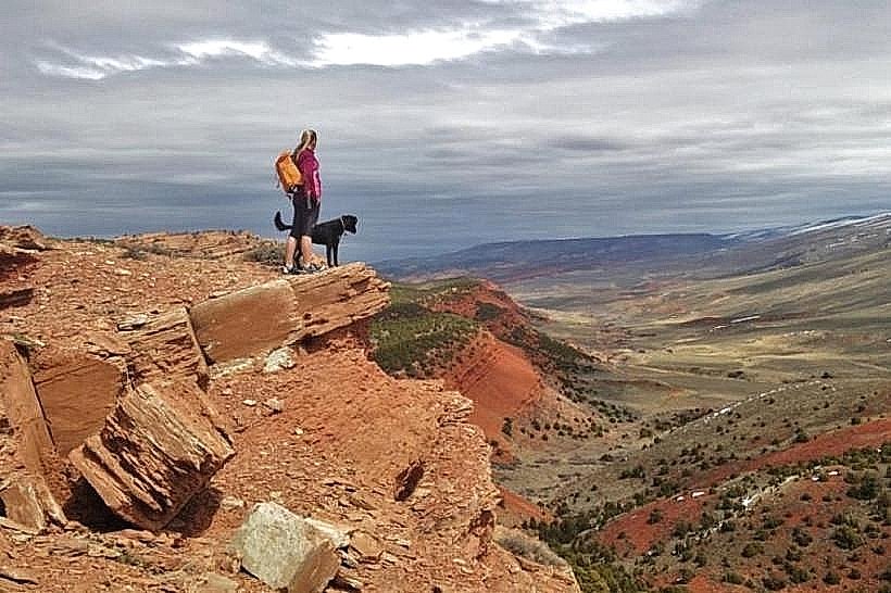
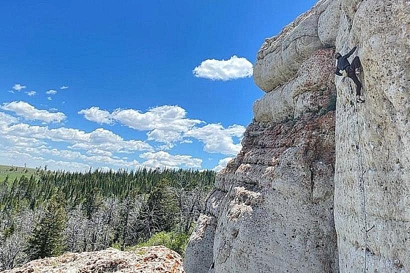
Hiking the trail to view the multiple waterfall stages. Observing the river's flow through the granite canyon. Photography of the cascades and surrounding forest. Rock scrambling is possible in designated areas, with caution.
Infrastructure & Amenities
Restrooms are available at the trailhead parking area. Limited shade is present along the trail, primarily from the coniferous forest. Cell phone signal is unreliable to non-existent. No food vendors are located at the trailhead or along the trail.
Best Time to Visit
The best months for visiting are typically June through September, when snow has receded and river flow is moderate. Mid-morning to late afternoon offers consistent lighting for photography. High water flow occurs in late spring due to snowmelt, which can enhance waterfall visibility but may make some sections of the trail slick.
Facts & Legends
The name "Popo Agie" is derived from the Eastern Shoshone language, meaning "river of the cottonwood." A notable feature of the nearby Sinks Canyon State Park, accessible via the same road, is the "sinks," where the river disappears underground into a limestone cave system and re-emerges a short distance downstream.
Nearby Landmarks
- Sinks Canyon State Park (0.5km West)
- Wild Iris Trailhead (2.1km West)
- Louis Lake Campground (4.8km West)