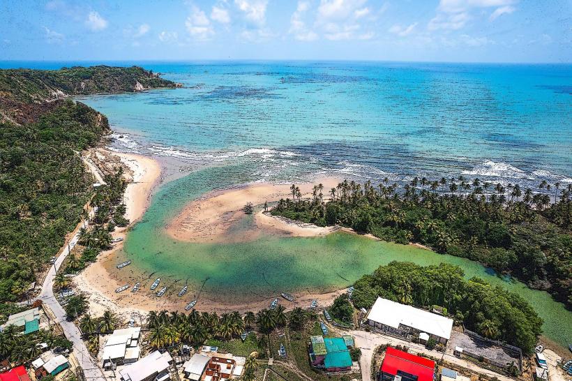
Landmark: Manzanilla Beach
City: Mayaro
Country: Trinidad and Tobago
Continent: North America
Manzanilla Beach, Mayaro, Trinidad and Tobago, North America
Manzanilla Beach is a 1.5 kilometer stretch of coastline located on the eastern coast of Trinidad, within the Mayaro–Rio Claro region.
Visual Characteristics
The beach features dark, iron-rich sand extending along a relatively straight shoreline. The water is typically a murky brown due to sediment runoff from the Ortoire River. Coconut palms line the landward side of the beach, providing a dense canopy.
Location & Access Logistics
Manzanilla Beach is situated approximately 60 kilometers east of Port of Spain. Access is via the Sir Solomon Hochoy Highway, transitioning to the Churchill-Roosevelt Highway, and then onto the Eastern Main Road, followed by Manzanilla Road (Siparia Road). The journey from Port of Spain takes approximately 1.5 to 2 hours by car. Ample parking is available along the roadside and in designated informal lots. Public transport options are limited; local maxi-taxis operate on routes that pass through Manzanilla, but direct service to the beach is not guaranteed.
Historical & Ecological Origin
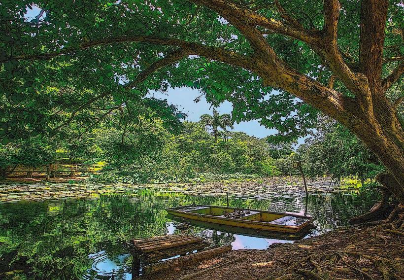
The beach's dark sand is a result of geological processes involving the erosion of iron-rich rocks in the Northern Range and subsequent deposition by rivers, primarily the Ortoire River, into the Atlantic Ocean. Ecologically, it is part of a coastal mangrove system, with the adjacent Nariva Swamp being a significant Ramsar site.
Key Highlights & Activities
Activities include swimming, sunbathing, and picnicking. The shallow waters are suitable for wading. Birdwatching is possible in the adjacent mangrove areas. Fishing from the shore is a common activity.
Infrastructure & Amenities
Basic amenities are present, including public restrooms and a limited number of food stalls selling local snacks and drinks. Shade is provided by the coconut trees. Cell phone signal (4G) is generally available.
Best Time to Visit
The best time for photography is during the early morning or late afternoon when the sun's angle creates longer shadows. The dry season, from January to May, offers the most favorable weather conditions with less rainfall. High tide can reduce the visible sand area.
Facts & Legends
Local folklore suggests that the beach is a nesting ground for leatherback turtles during specific months, though sightings are not guaranteed. The dark sand is sometimes attributed to volcanic activity, a misconception given the region's geological history.
Nearby Landmarks
- Nariva Swamp (0.5km West)
- Mayaro Beach (10km South)
- Point Radix (12km South)
- Biche (15km West)