Landmark: Ortoire River Mouth
City: Mayaro
Country: Trinidad and Tobago
Continent: North America
Ortoire River Mouth, Mayaro, Trinidad and Tobago, North America
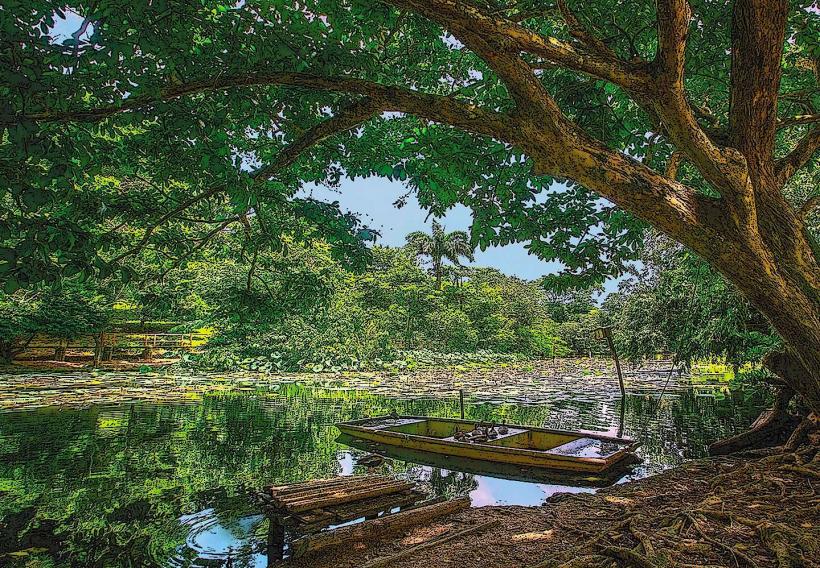
The Ortoire River Mouth is a coastal estuarine environment located at the southeastern tip of Trinidad, near the town of Mayaro.
This area represents the confluence of the Ortoire River and the Atlantic Ocean, characterized by a dynamic interface of freshwater and saltwater.
Visual Characteristics
The river mouth exhibits a wide, shallow expanse of brackish water, often appearing brown due to sediment load from the river. The immediate surroundings consist of mangrove forests and coastal scrub vegetation. Sandy beaches, composed of fine to medium grain sand, extend along the coastline. The ocean side typically features moderate wave action.
Location & Access Logistics
The Ortoire River Mouth is situated approximately 70 kilometers southeast of Port of Spain. Access is primarily via the Naparima-Mayaro Road (Siparia Road) to Mayaro, then continuing east on the Mayaro Beach Road. Parking is available on unpaved areas adjacent to the beach. Public transport to Mayaro is available via Trinidad Government Transportation (TGT) bus routes originating from Port of Spain. From Mayaro, local taxis or private vehicles are required for direct access to the river mouth area.
Historical & Ecological Origin
The Ortoire River is one of Trinidad's longest rivers, originating in the central mountain range. Its mouth is a naturally formed estuarine system, shaped by fluvial deposition and coastal processes over millennia. The mangrove ecosystems present are characteristic of tropical coastlines, serving as critical nursery grounds for marine life and natural coastal defenses.
Key Highlights & Activities
Birdwatching is a primary activity, with numerous wading and migratory bird species observed. Fishing from the shore or by small boat is common. Kayaking or small boat exploration of the river and its mangrove channels is possible. Beachcombing along the adjacent coastline is also an option.
Infrastructure & Amenities
Basic amenities are limited at the immediate river mouth. Restrooms and food vendors are typically found in the more developed Mayaro Beach area, approximately 2-3 kilometers west. Cell phone signal (4G/5G) is generally available in the vicinity, though it may be intermittent closer to dense vegetation.
Best Time to Visit
For birdwatching, early morning and late afternoon offer the best visibility and activity. The dry season, from January to May, generally provides clearer skies and less rainfall. Tidal conditions can influence access to certain channels; consult local tide charts if planning boat excursions.
Facts & Legends
Local folklore suggests that the Ortoire River was once a route for indigenous peoples traveling inland. A specific tip for visitors is to observe the distinct color change in the water where the river's sediment-laden flow meets the clearer ocean water, a visible demarcation of the estuarine zone.
Nearby Landmarks
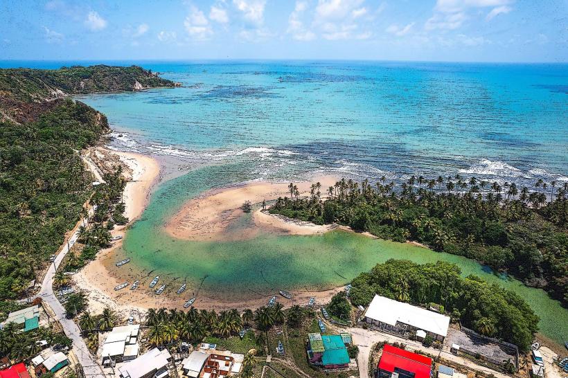
- Mayaro Beach (1.5km West)
- Point Radix (4km East)
- Manzanilla Beach (18km North)
- Nariva Swamp (20km Northwest)