Landmark: Mount Canaan
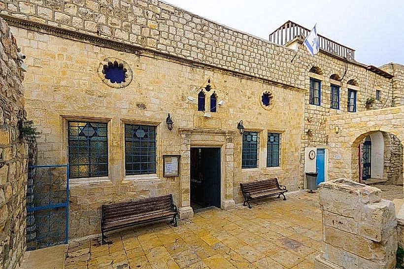
City: Safed
Country: Israel
Continent: Asia
Mount Canaan, Safed, Israel, Asia
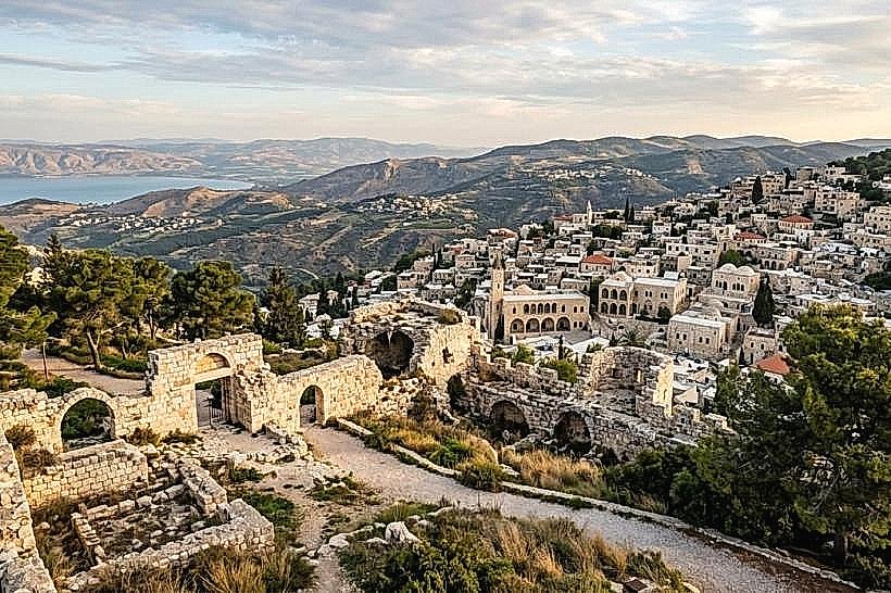
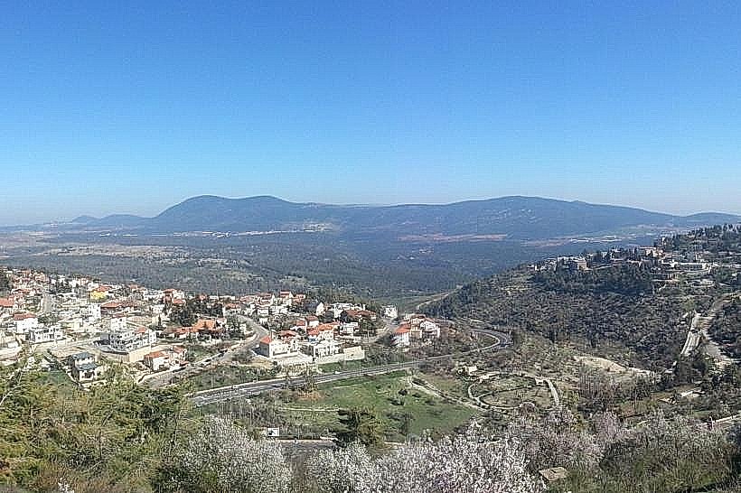
Mount Canaan is a prominent mountain ridge situated in the Upper Galilee, rising to an elevation of approximately 955 meters above sea level. It forms the eastern boundary of the city of Safed and serves as a strategic geographic divider between the Upper Galilee and the Hula Valley.
Visual Characteristics
The ridge is characterized by exposed limestone outcrops, rugged karst topography, and sparse Mediterranean scrubland interspersed with planted pine forests. The summit is occupied by a mix of communications towers, weather stations, and residential stone structures typical of the region. From its peaks, the landscape offers unobstructed vistas of the Sea of Galilee to the southeast, Mount Hermon to the north, and the city of Safed to the west.
Location & Access Logistics
Access is primarily via Route 89 or Route 90, connecting to local roads leading into the Mount Canaan neighborhood of Safed. It is located approximately 3km east of the Safed Old City center. Public transportation is available via municipal bus lines 6, 7, and 12 from the Safed Central Bus Station. Paved parking lots are available near the central observation points and the local hotel district.
Historical & Ecological Origin
Geologically, Mount Canaan is part of a limestone block raised by the tectonic activity of the Great Rift Valley. Historically, it has served as a strategic military outpost throughout the Crusader, Mamluk, and British Mandate periods due to its commanding view of the surrounding valleys. During the 1948 War of Independence, the mountain was a key objective in the battle for control of the Galilee panhandle.
Key Highlights & Activities
Observation of the "Finger of the Galilee" and the Hula Valley is the primary activity for visitors. The mountain features several hiking trails that connect to the Israel National Trail (Shvil Yisrael). It is a major hub for meteorological research, housing a central weather station for Northern Israel. In winter, the ridge is one of the few locations in Israel that regularly receives snowfall, attracting local visitors for cold-weather activities.
Infrastructure & Amenities
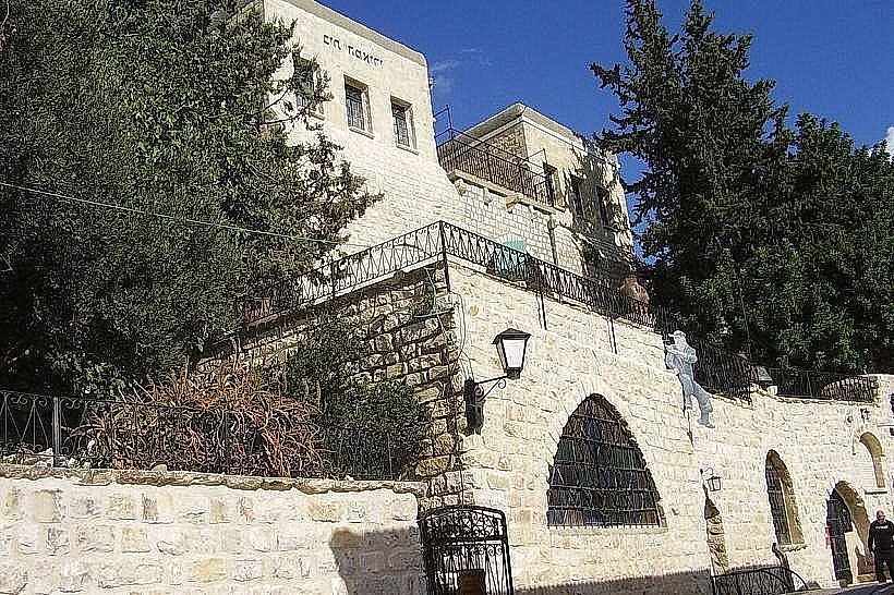
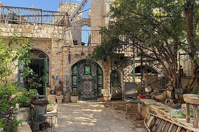
The mountain hosts several hotels and guesthouses, which provide restrooms and dining facilities for visitors. Public parks with shaded picnic tables and benches are located near the primary observation decks. 5G cellular signal is exceptionally strong across the ridge due to the high density of communication infrastructure. Basic amenities, including grocery stores and pharmacies, are available within the Mount Canaan residential neighborhood.
Best Time to Visit
Optimal visibility for photography occurs during the early morning hours when the air is clearest, allowing for views as far as the Golan Heights. The summer months offer a cooler climate than the lower valleys, with consistent mountain breezes. Winter visits are recommended immediately following storm fronts for those wishing to experience snow, though road access may be temporarily restricted during heavy accumulation.
Facts & Legends
Mount Canaan is often cited in Jewish liturgy and literature as a symbol of the high, pure air of the Galilee, traditionally believed to enhance spiritual clarity. A verified historical oddity is that the mountain houses a British-era police station (Tegart fort) that played a significant role in the 1948 conflict. Local residents claim that on exceptionally clear days following winter rain, one can see the Mediterranean Sea to the west and the Syrian plains to the east simultaneously.
Nearby Landmarks
Safed Citadel (Metzuda Park): 2.8km West
Birya Fortress: 3.5km North
Emek HaTkhelet Park: 2.5km West
Bat Yaar Ranch: 4.2km Northeast
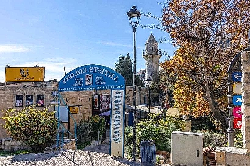
Safed Artists' Colony: 3.2km West