Landmark: Safed Citadel
City: Safed
Country: Israel
Continent: Asia
Safed Citadel, Safed, Israel, Asia
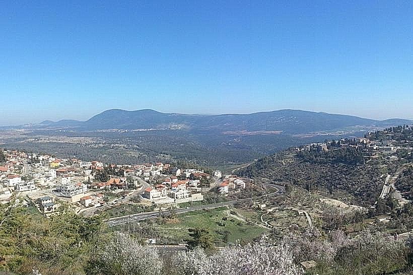
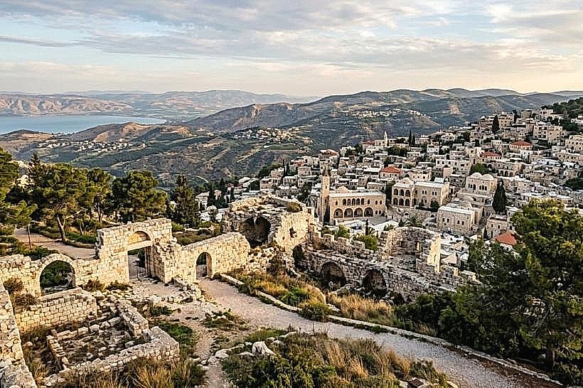
The Safed Citadel is a historic archaeological site and public park situated at the highest point of Safed. It contains the ruins of a massive fortress that was once the largest in the Middle East, offering a 360-degree view of the Galilee region.
Visual Characteristics
The site features a combination of manicured lawns, pine groves, and rugged archaeological excavations. Exposed limestone ruins include massive foundation blocks, vaulted underground chambers, and a large circular water cistern. Paved stone paths and staircases wind through the terraced landscape, leading to a central summit that offers panoramic views of Mount Meron and the Sea of Galilee.
Location & Access Logistics
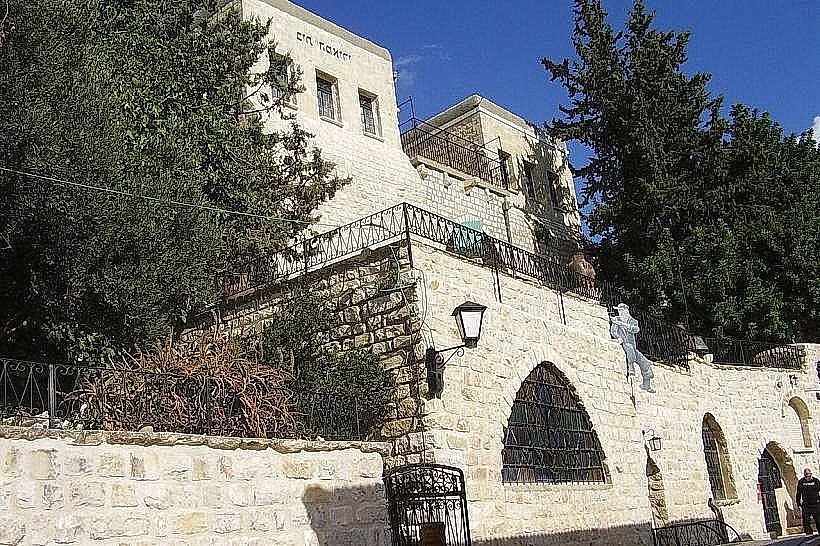
The park is centrally located above the Old City and Jerusalem Street. It is a 10-minute uphill walk from the central bus station via municipal stairs. Vehicle access is possible via Hativat Yiftah Street, leading to a small parking area at the eastern entrance. Most visitors access the site on foot from the commercial center via the "Ascent of the Citadel" stone steps.
Historical & Ecological Origin
The site was a fortified stronghold from the Second Temple period, but its most significant structure was the 13th-century Crusader castle built by the Knights Templar. Following the Mamluk conquest in 1266, Sultan Baibars expanded the fortress into a massive military complex. The structure was largely leveled by the 1837 earthquake, and in 1948, the site served as a strategic theater for the Battle of Safed.
Key Highlights & Activities
Visitors can explore the ruins of the inner and outer fortress walls and view the remains of the Crusader moat. The summit features a memorial monument for the Palmach soldiers who fought in the 1948 War of Independence. Walking trails are used for bird watching and panoramic photography. The open grassy areas and stone amphitheater are used for public gatherings and local festival performances.
Infrastructure & Amenities
The park is equipped with numerous stone benches, lookout points, and historical signage. Public restrooms are located at the lower entrance near the municipal offices. While the park has no food vendors within its boundaries, the main commercial district is 300 meters away. 5G cellular signal is strong throughout the park due to its elevated and unobstructed location.
Best Time to Visit
The optimal time for visiting is one hour before sunset, as the park’s western edge provides clear views of the sun setting behind Mount Meron. The site remains significantly cooler than the surrounding city streets during summer months due to the high elevation and heavy pine shade. Morning hours are best for clear, long-distance visibility toward the Sea of Galilee.
Facts & Legends
According to local tradition, the massive underground cistern at the center of the citadel was deep enough to store a three-year supply of water for the entire garrison. A verified historical curiosity is that the fortress was so large it could house over 2,000 soldiers during the Crusader era. In 1948, the "Davidka"-a primitive Israeli mortar-was used here; its loud blast was a factor in the battle for the city.
Nearby Landmarks
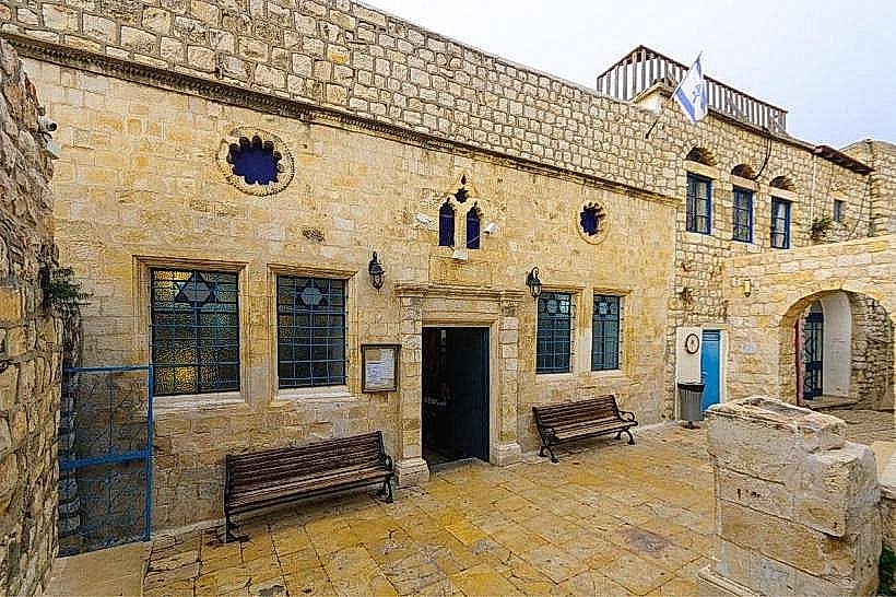
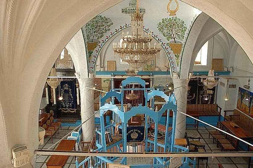
Ari Ashkenazi Synagogue: 0.4km Southwest
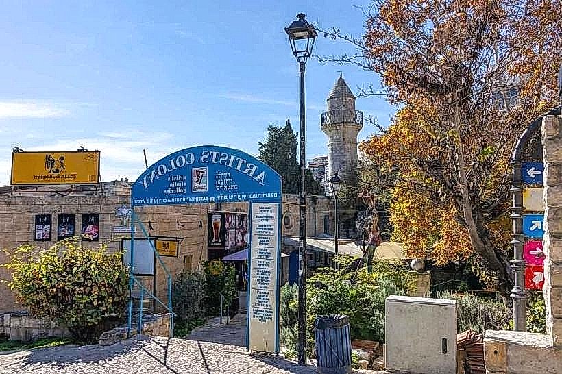
Safed Artists' Colony: 0.7km Southwest
Abuhav Synagogue: 0.6km Southwest
Old Jewish Cemetery: 0.9km West