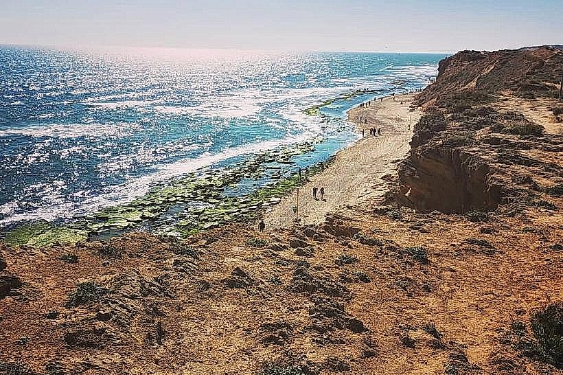
Landmark: Netanya Coastal Cliff
City: Netanya
Country: Israel
Continent: Asia
Netanya Coastal Cliff, Netanya, Israel, Asia
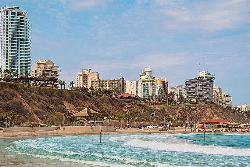
The Coastal Cliff in Netanya is a natural geological formation and observation terrace rising up to 54 meters above the Mediterranean Sea. It extends approximately 8 kilometers along the city's western edge, serving as the foundation for the national "Israel Trail" and a series of interconnected scenic promenades.
Visual Characteristics
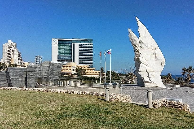
The cliff is primarily composed of kurkar, a soft calcareous sandstone characterized by jagged vertical faces and horizontal layers of reddish "Hamra" soil and clayey sand. Its coloring ranges from pale beige to deep ochre, often contrasting with the turquoise coastal waters below. The cliff edge is stabilized in developed sections by manicured lawns, stone-paved walkways, and a series of avant-garde environmental sculptures made from recycled ceramics and metal.
Location & Access Logistics
The cliff line parallels the entire coastline of Netanya, from the northern Blue Bay district to the southern Poleg neighborhood. Primary access points are found at the western ends of major city thoroughfares, including Herzl Street and Oved Ben Ami Boulevard. A unique beach elevator at Rishonim Promenade provides vertical transport between the cliff top and the shore. Public bus lines 7, 10, and 32 provide transit to various points along the ridge, and multiple free and paid parking lots are situated along the cliff-side road (Sderot Ben Ami).
Historical & Ecological Origin
Geologically, the ridge was formed during the Pleistocene epoch through the lithification of ancient sand dunes. The current vertical profile is the result of continuous marine erosion and human intervention, including Roman-era excavations to drain inland marshes. During the British Mandate, the cliffs were a strategic landing site for clandestine refugee ships; today, they are protected under municipal conservation plans to mitigate the high rate of natural erosion and landslides.
Key Highlights & Activities
The cliff-top trails are utilized for long-distance hiking, jogging, and cycling. The southern sections, particularly near the Gali Yam neighborhood, serve as a primary launch site for paragliding due to the upward air currents created by the steep cliff face. Several observation decks are equipped with mounted binoculars for viewing passing maritime traffic and seasonal bird migrations.
Infrastructure & Amenities
Developed sections include the "Tayelet" boardwalk with shaded pergolas, stone benches, and lighting. Public restrooms and water fountains are available at major hubs such as Independence Square and the Sironit Beach entrance. The area is equipped with 5G cellular coverage and features numerous cafes and restaurants positioned along the ridge. The main promenade paths are fully wheelchair accessible via ramps and the central beach elevator.
Best Time to Visit
The optimal time for a visit is during the late afternoon (one hour before sunset) when the western sun directly illuminates the sandstone faces. Winter and early spring (January–March) are best for viewing the bloom of the coastal iris and other endemic flora. Paragliding is most active during the summer months when thermal winds are most consistent.
Facts & Legends
A historical oddity is that the cliffs contain several sealed "clandestine bunkers" used by the Haganah during the pre-state period for coastal surveillance. Local legend also suggests that the various indentations in the sandstone were once used by 18th-century pirates to hide small skiffs and supplies away from the sight of passing naval vessels.
Nearby Landmarks
Sironit Beach – 0.1km West (at the base)
Independence Square – 0.3km East
Victory Monument – 1.8km South
Intercultural Gallery on the Cliff – 0.5km North
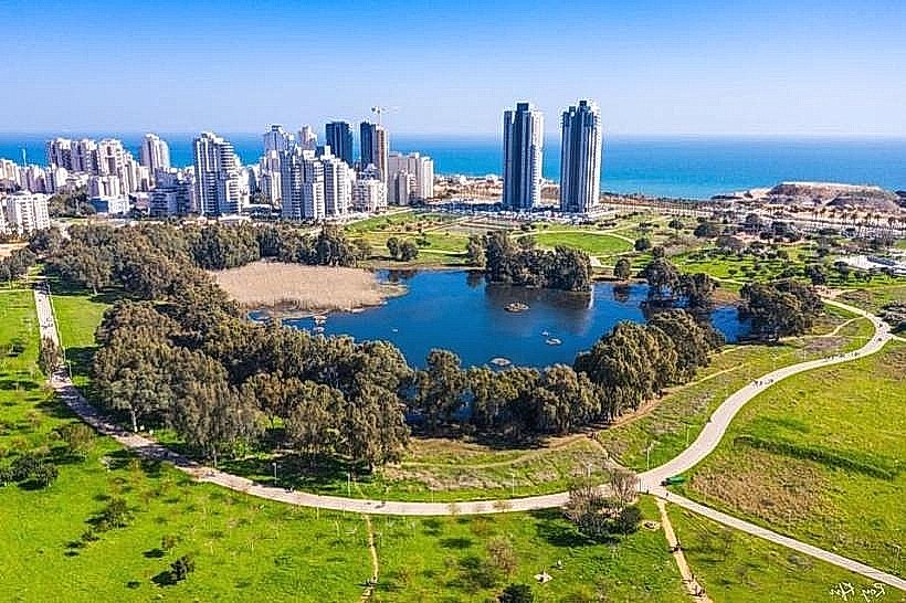
Winter Pond Park – 2.0km Southeast