Landmark: Netanya Hills
City: Netanya
Country: Israel
Continent: Asia
Netanya Hills, Netanya, Israel, Asia
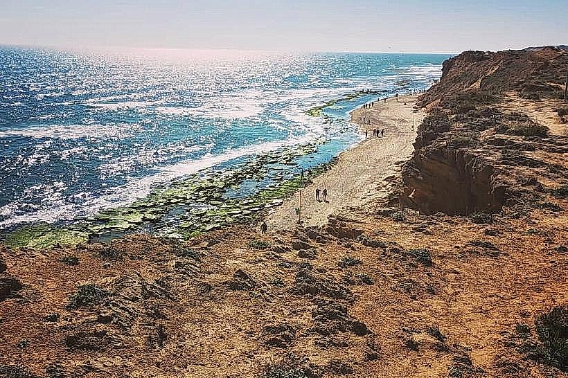
The Netanya Hills, often referred to locally as the Netanya Cliffs or Givat HaIrusim (Iris Hill), is a series of elevated kurkar (calcareous sandstone) ridges running parallel to the Mediterranean coastline. These natural formations provide the high-altitude foundation for the city's western promenades and nature reserves.
Visual Characteristics
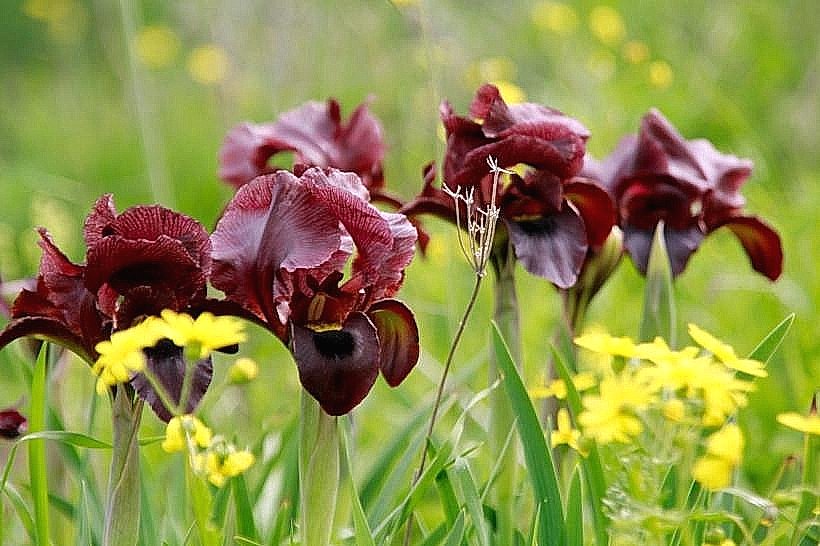
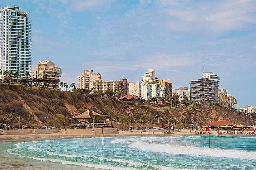
The hills consist of rugged, yellow-brown sandstone cliffs that rise sharply to heights of 25 to 40 meters above sea level. The terrain is characterized by steep vertical faces overlooking the beach and undulating sandy plateaus on the summits. Vegetation is primarily coastal scrub, featuring desert thorn, sea squills, and the rare dark purple Iris atropurpurea which blooms across the slopes in winter.
Location & Access Logistics
The ridge system extends approximately 14 kilometers along the Netanya coastline, with the most prominent natural sections located between the Victory Monument and the Poleg Nature Reserve. Access is primary via Oved Ben Ami Boulevard and Nice Boulevard. Visitors can reach the summit trails through the city's seaside promenades or via the public beach elevator located at Rishon LeZion Street. Multiple parking lots are situated along the cliff edge, and Egged bus lines 7, 10, and 32 serve the coastal route.
Historical & Ecological Origin
Geologically, these hills are part of the Sharon plain's quaternary kurkar ridge system, formed by the lithification of ancient sand dunes. Historically, the elevated position was used for maritime surveillance and signaling. During the British Mandate, portions of the ridge were utilized for small-scale sandstone quarrying before being designated as protected municipal open spaces and nature reserves.
Key Highlights & Activities
The summit of the hills serves as Israel's premier paragliding and hang-gliding launch site due to consistent upward thermals created by the cliff face. A continuous network of paved and dirt trails allows for cliff-top hiking and cycling with panoramic sea views. Observation points are equipped with fixed binoculars for maritime spotting and sunset viewing.
Infrastructure & Amenities
The developed sections of the hills feature the "Tayelet" (promenade) with benches, lighting, and paved walkways. Public restrooms and water fountains are positioned at regular intervals near the beach access points. The natural sections (nature reserves) lack facilities to maintain ecological integrity. Cellular coverage is 5G throughout, and the central promenades are fully wheelchair accessible.
Best Time to Visit
The optimal period for visiting the natural slopes is February and March for the peak flowering of the coastal iris and wildflowers. For paragliding, the summer months (June–August) provide the most reliable wind conditions. Photography is best during the final hour of daylight (the golden hour) when the western sun illuminates the sandstone cliffs and the Mediterranean horizon.
Facts & Legends
A local historical curiosity is the "Beach Elevator," which is one of the few of its kind in the world, built specifically to solve the logistical challenge of the 40-meter vertical drop between the city's "hills" and the shoreline. The cliffs are also known to contain small, hidden caves carved by wind erosion over millennia.
Nearby Landmarks
Iris Reserve – 0.1km South
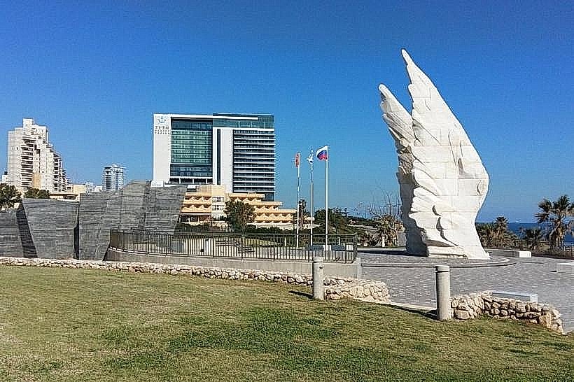
Victory Monument – 0.5km North
Sironit Beach – 2.2km North
Poleg Nature Reserve – 2.8km South
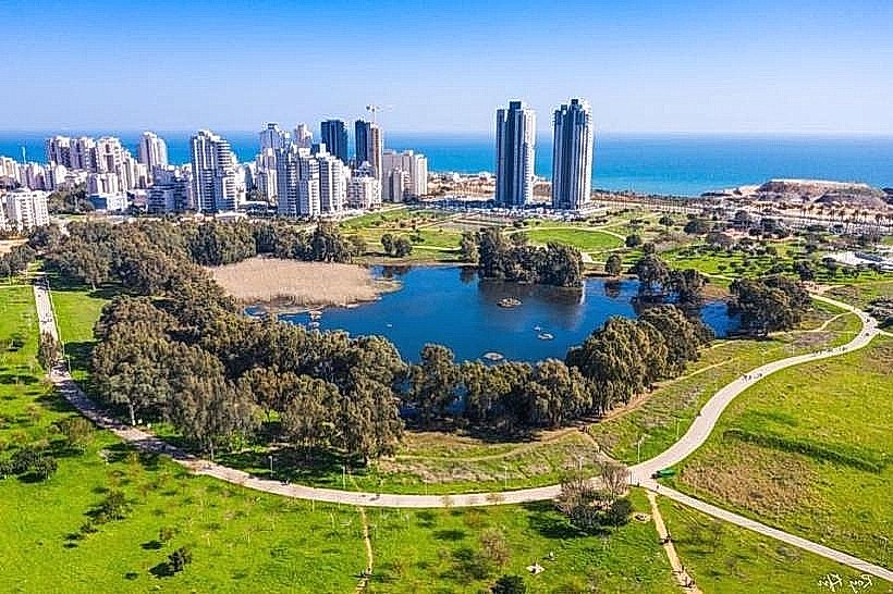
Winter Pond Park – 1.5km East