Landmark: Pandan Reservoir
City: Western Region
Country: Singapore
Continent: Asia
Pandan Reservoir, Western Region, Singapore, Asia
Pandan Reservoir is a man-made freshwater reservoir located in the Western Region of Singapore. It serves as a critical component of Singapore's water supply infrastructure.
Visual Characteristics
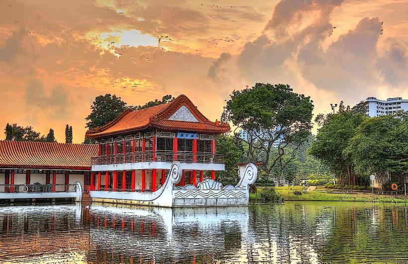
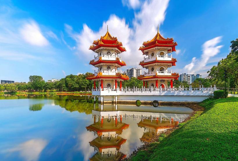
The reservoir is characterized by its large, open water surface surrounded by concrete bunds and vegetated slopes. The water color varies from grey to greenish depending on algae bloom and sediment levels. The bunds are constructed from reinforced concrete, with a width of approximately 10 meters at the crest. The surrounding slopes are planted with a mix of hardy grasses and trees, primarily Acacia and Melaleuca species, to prevent erosion.
Location & Access Logistics
Pandan Reservoir is situated approximately 15 kilometers west of Singapore's Central Business District. Access is primarily via West Coast Road, turning onto Pandan Reservoir Road. Ample parking is available at designated lots near the main dam and recreational areas. Public transport options are limited; the nearest bus stop is located on West Coast Road, requiring a walk of approximately 1 kilometer to the reservoir entrance. Bus services operating on West Coast Road include 143 and 201.
Historical & Ecological Origin
Construction of Pandan Reservoir commenced in 1970 and was completed in 1975. It was built by the Public Utilities Board (PUB) of Singapore as part of a national effort to increase water storage capacity and reduce reliance on imported water. The reservoir was formed by damming the Sungei Pandan, a natural river, and inundating the surrounding low-lying land. The area was previously characterized by mangrove swamps and agricultural plots.
Key Highlights & Activities
Activities at Pandan Reservoir are primarily focused on water sports and passive recreation. Kayaking and canoeing are permitted within designated zones. Angling is allowed from the reservoir banks and specific jetties, with a valid PUB fishing license required. The perimeter road offers a 5km loop suitable for cycling and jogging. Birdwatching is also a popular activity due to the presence of various resident and migratory bird species.
Infrastructure & Amenities
Basic amenities are available at the main recreational node near the dam. These include public restrooms and shaded picnic areas with tables and benches. There are no on-site food vendors, but convenience stores and eateries are located approximately 1 kilometer away on West Coast Road. Cell phone signal (4G/5G) is generally consistent throughout the reservoir area.
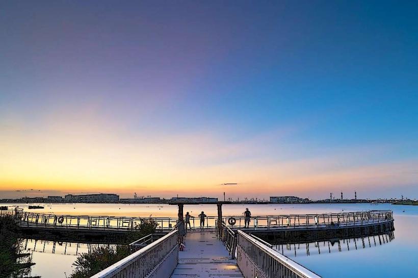
Best Time to Visit
For photography, early morning (07:00-09:00) and late afternoon (17:00-18:30) offer optimal lighting conditions with softer shadows. The best months for visiting are typically between February and April, which fall within the drier season, minimizing the chance of heavy rainfall. There are no specific tide requirements as it is a freshwater reservoir.
Facts & Legends
A notable historical oddity is that during its construction, the reservoir project involved the relocation of several villages and the reclamation of land that was once part of the Straits of Malacca coastline. Local folklore sometimes refers to the reservoir as a place where ancient river spirits reside, though this is unsubstantiated.
Nearby Landmarks
- Toh Tuck Road Park (1.2km Northwest)
- West Coast Park (2.5km Southeast)
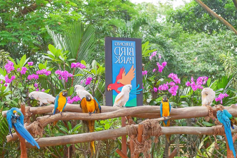
- Jurong Bird Park (now Bird Paradise) (3.8km West)
- Science Centre Singapore (4.1km North)
- Singapore Discovery Centre (4.5km North)