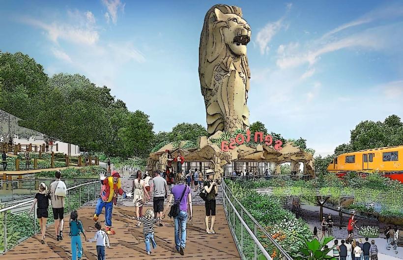
Landmark: Sentosa Island
City: Western Region
Country: Singapore
Continent: Asia
Sentosa Island, Western Region, Singapore, Asia
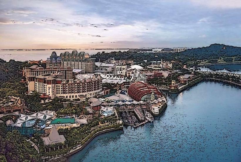
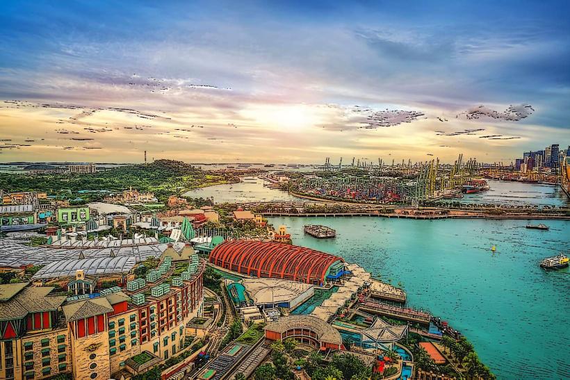
Sentosa Island is a resort island located off the southern coast of Singapore. It is a man-made island developed for tourism and recreation.
Visual Characteristics
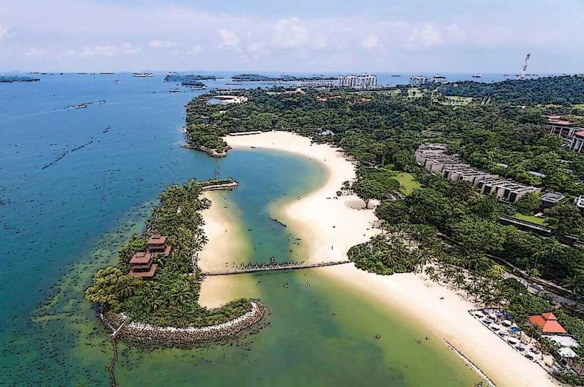
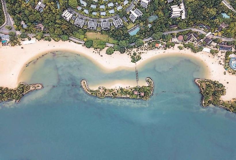
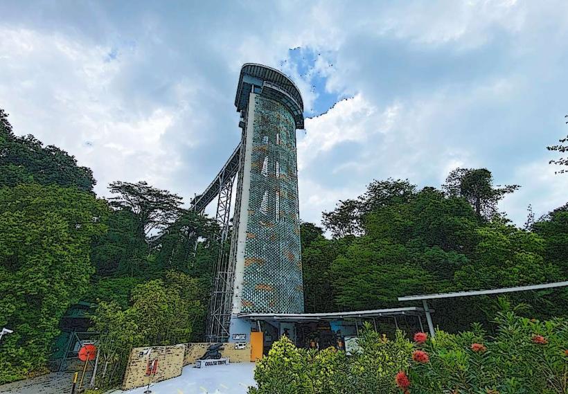
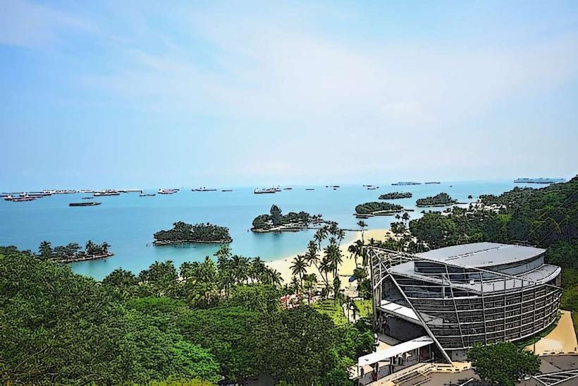
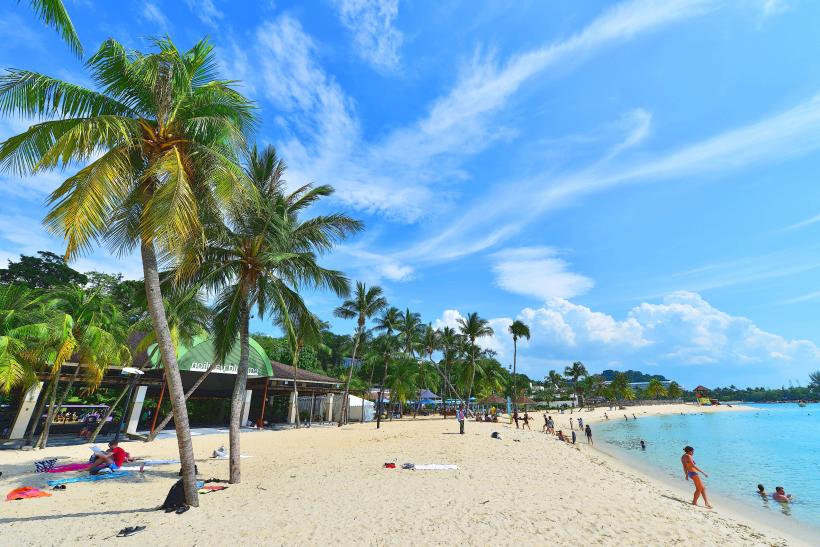
Sentosa Island is characterized by its artificial beaches, including Palawan Beach, Siloso Beach, and Tanjong Beach, which feature imported fine white sand. The island's topography is largely flat, with some elevated areas supporting tropical vegetation. Man-made structures include hotels, theme parks, and entertainment venues, often featuring modern architectural designs.
Location & Access Logistics
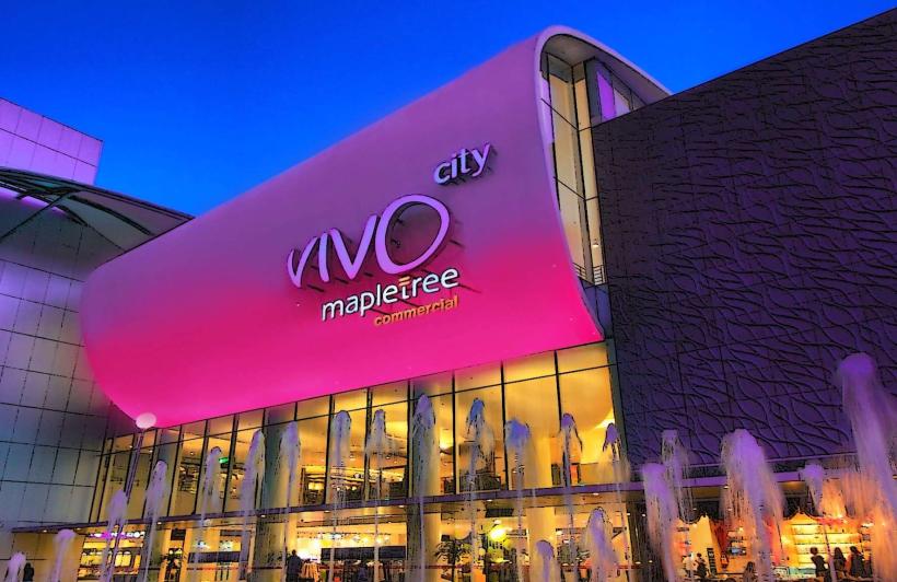
Sentosa Island is situated 0.5km south of mainland Singapore. Access is primarily via the Sentosa Gateway bridge, accessible from the East Coast Parkway. Public transport options include the Sentosa Express monorail from VivoCity (HarbourFront MRT Station, North-East Line, Circle Line), bus services (e.g., RWS 8), and cable car services from Mount Faber and HarbourFront. Parking is available at various multi-storey car parks on the island, with fees applicable.
Historical & Ecological Origin
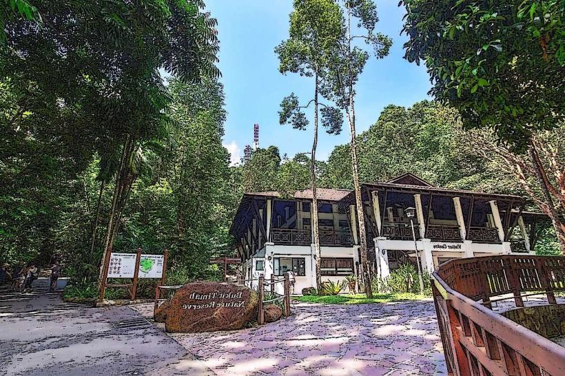
Originally a small fishing village and later a British military base known as Pulau Blakang Mati, the island underwent extensive land reclamation and development starting in the 1970s. Its transformation into a tourist destination involved significant engineering projects to expand its landmass and create its current features. Ecologically, it is an island ecosystem with managed tropical flora and fauna.
Key Highlights & Activities
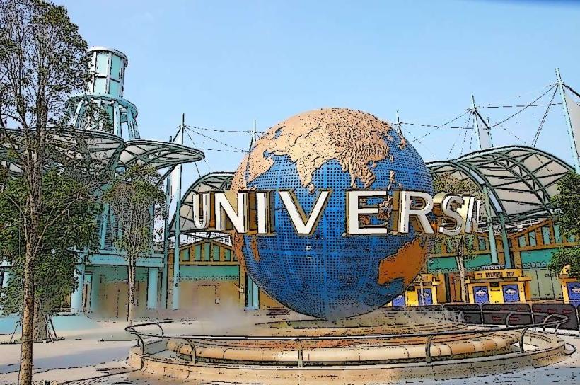
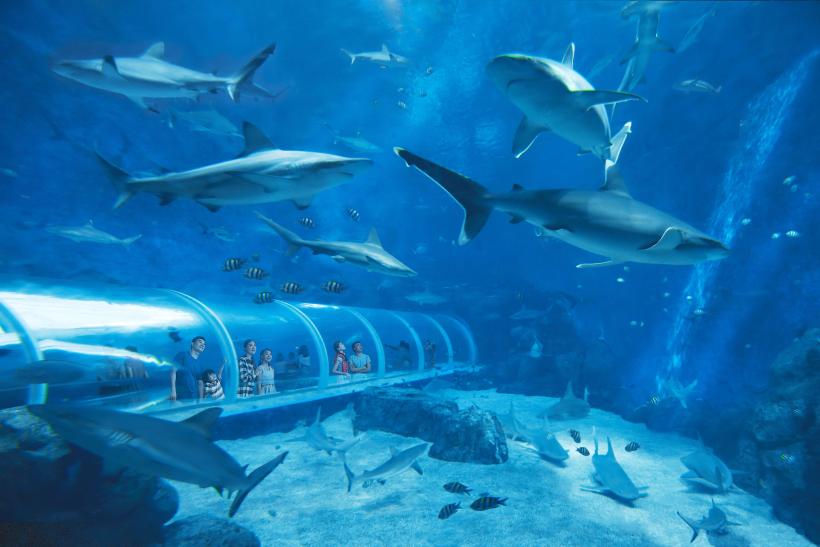
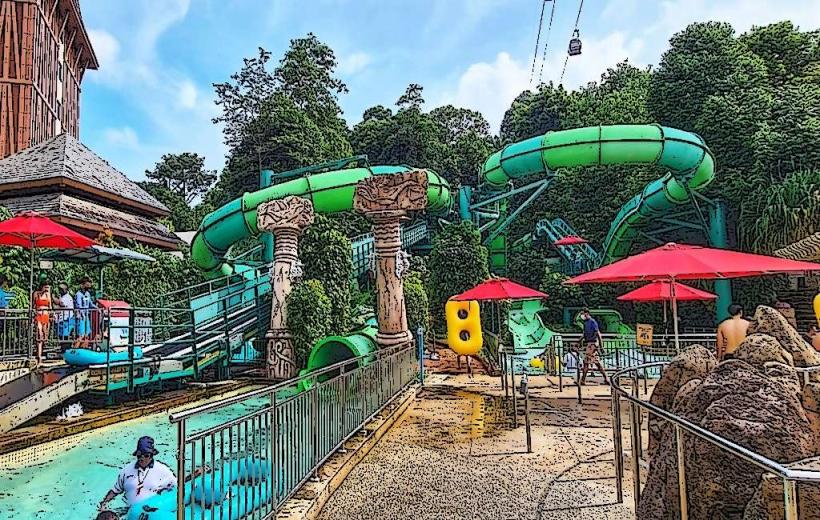
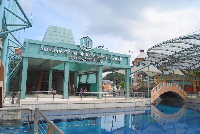
Activities include visiting Universal Studios Singapore, S.E.A. Aquarium, and Adventure Cove Waterpark. Guests can walk across the suspension bridge to the Southernmost Point of Continental Asia at Palawan Beach. Beach activities such as swimming and sunbathing are available at Siloso Beach. The island also hosts various events and shows.
Infrastructure & Amenities
Sentosa Island offers extensive infrastructure including numerous hotels, restaurants, and retail outlets. Restrooms are widely available. Shaded areas are provided along beaches and walkways. Mobile phone signal (4G/5G) is generally strong across the island. Food vendors and dining establishments are abundant.
Best Time to Visit
The best time for outdoor activities is during the drier months from February to April. The island is accessible year-round. For photography, early morning or late afternoon provides softer lighting. High tide is suitable for swimming at the beaches.
Facts & Legends
A local legend suggests that the island was once home to a boy who could turn into a fish, hence its original Malay name, Pulau Blakang Mati, which translates to "Island Behind the Dead" or "Island of Death," though this is debated by historians. A more verifiable fact is that the island's land area has more than doubled since the 1970s through land reclamation.
Nearby Landmarks
- HarbourFront Centre (0.8km North)
- Mount Faber Park (1.5km North-West)
- Marina Bay Sands (3.5km North-East)
- Gardens by the Bay (4.0km North-East)
- Singapore Flyer (4.2km North-East)