Landmark: Papeno’o Valley
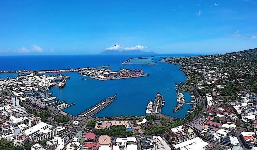
City: Tahiti
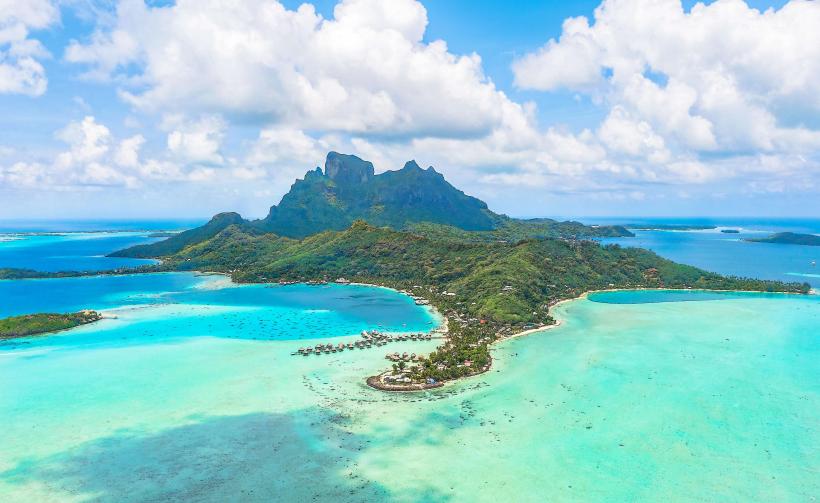
Country: French Polynesia
Continent: Australia
Papeno’o Valley, Tahiti, French Polynesia, Australia
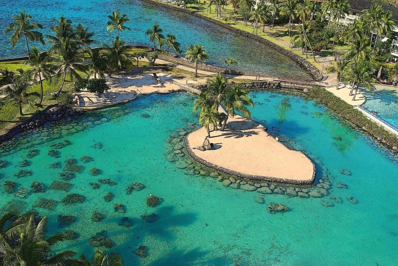
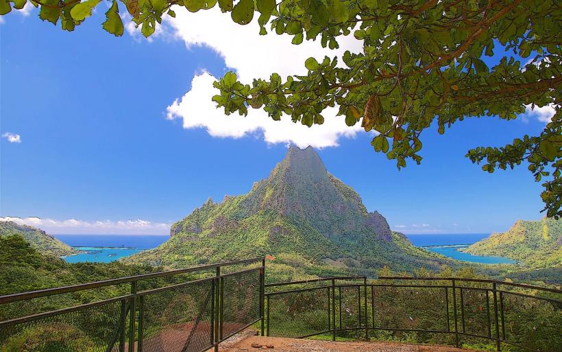
Papeno’o Valley is a significant geographical feature located on the island of Tahiti in French Polynesia. It is characterized by its rugged terrain and lush vegetation.
Visual Characteristics
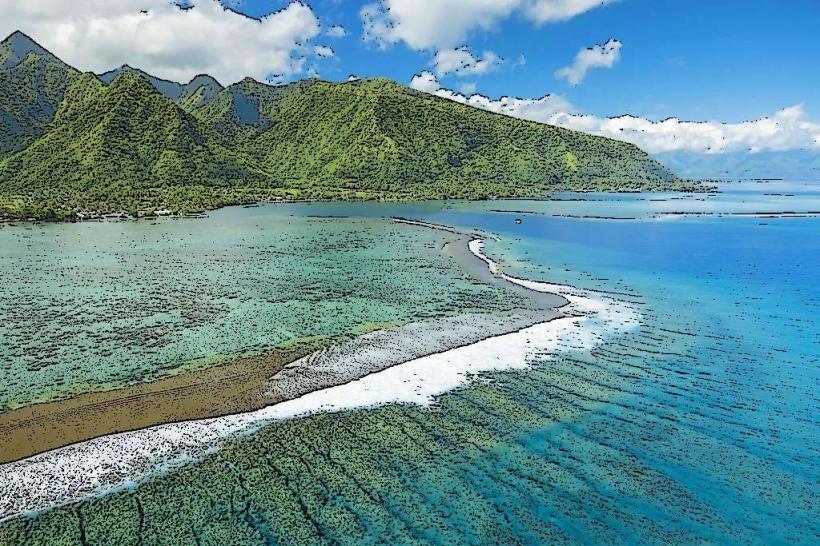
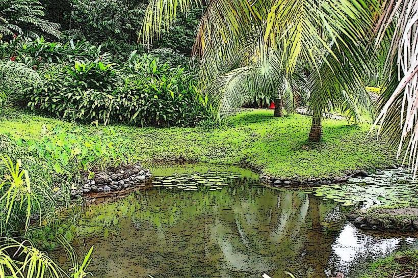
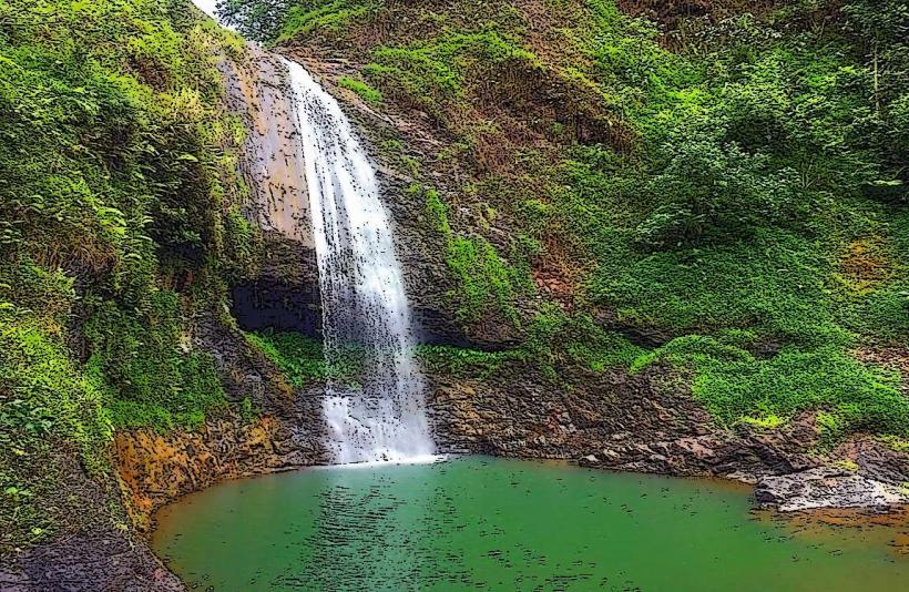
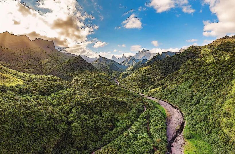
The valley is defined by steep, verdant slopes covered in dense tropical rainforest. The Papeno’o River, a primary watercourse, flows through the valley floor, its color varying from clear to a muddy brown depending on recent rainfall. Rock formations are prevalent, with exposed volcanic rock visible in some areas. The vegetation is dominated by ferns, large-leafed plants, and various tree species.
Location & Access Logistics
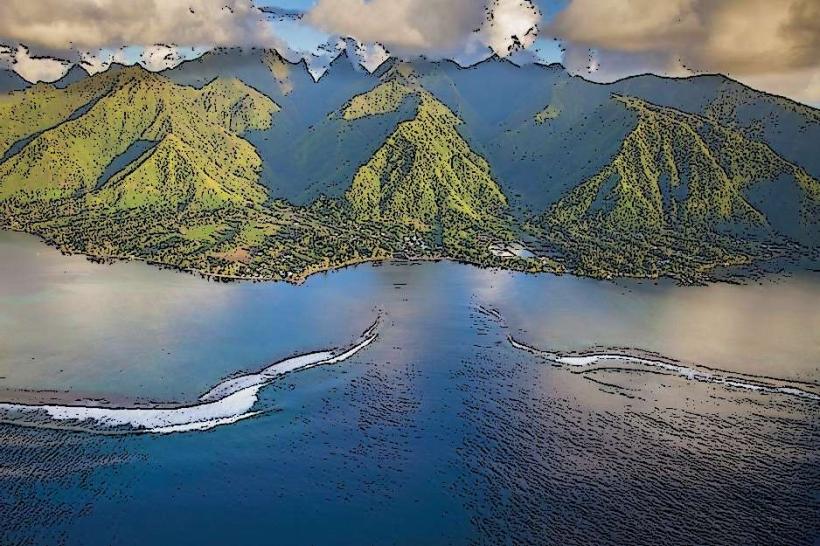
Papeno’o Valley is situated on the northeastern coast of Tahiti Nui, the larger of Tahiti's two islands. Access is via the Route de la Vallée de Papeno’o, a paved road that branches off the main coastal road (Route Principale 1). The turn-off is approximately 15 kilometers east of Papeete. The road leads into the valley for about 10 kilometers before becoming a rough track unsuitable for standard vehicles. Parking is limited to informal pull-offs along the main valley road. Public transport does not extend into the valley; access requires a private vehicle or organized tour.
Historical & Ecological Origin
The valley is a product of volcanic activity and subsequent erosion. Its formation is attributed to the geological processes that created the island of Tahiti. Ecologically, it represents a tropical rainforest ecosystem, supporting a diverse range of flora and fauna adapted to the humid, mountainous environment. Historically, the valley was a source of fresh water and resources for early Polynesian settlers.
Key Highlights & Activities
Hiking is a primary activity, with trails leading to waterfalls and viewpoints. The Papeno’o River offers opportunities for wading and photography. Visitors can observe the diverse plant life and listen to the sounds of the rainforest. Access to the upper valley requires a 4x4 vehicle or guided tour due to the road conditions.
Infrastructure & Amenities
Basic infrastructure is minimal. There are no formal restrooms or designated picnic areas within the valley. Shade is provided by the dense tree canopy. Cell phone signal is intermittent and unreliable within the valley. Food vendors are not present; visitors must bring their own supplies.
Best Time to Visit
The best time of day for photography is generally mid-morning or late afternoon when the sun's angle creates more defined shadows and highlights on the vegetation. The dry season, from May to October, offers more predictable weather with less rainfall, making hiking conditions safer. The wet season (November to April) can lead to higher river levels and increased risk of flash floods.
Facts & Legends
Local lore suggests that the valley was once inhabited by spirits and that certain waterfalls possess healing properties. A specific point of interest is the series of small dams constructed in the early 20th century to regulate water flow for irrigation purposes, remnants of which are still visible.
Nearby Landmarks
- Point Venus Lighthouse (3.5km West)
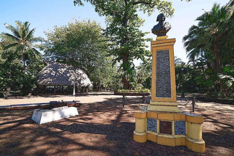
- Musée de Tahiti et des Îles (4.2km Southwest)
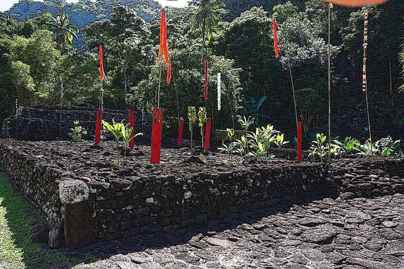
- Marae Arahurahu (4.8km Southwest)
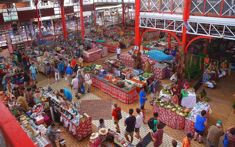
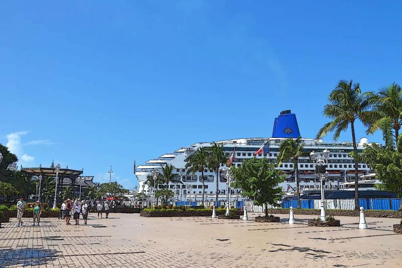
- Papeete Market (15km West)