Landmark: Taravao Plateau
City: Tahiti
Country: French Polynesia
Continent: Australia
Taravao Plateau, Tahiti, French Polynesia, Australia
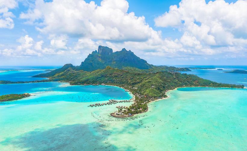
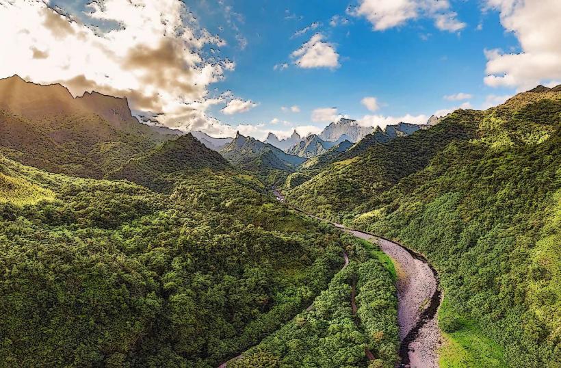
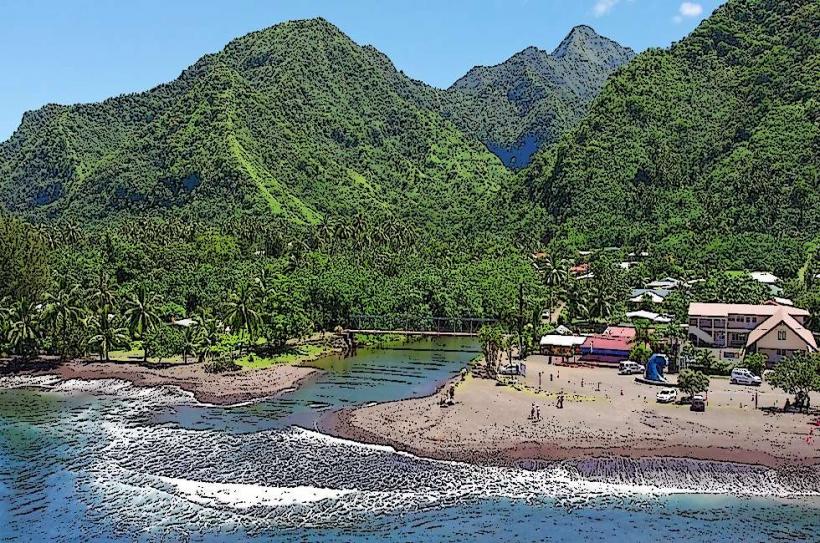
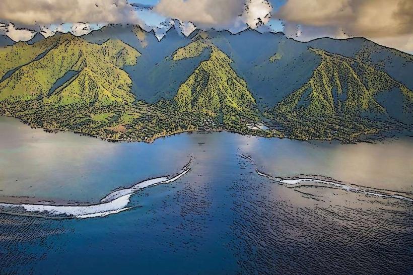
The Taravao Plateau is a significant geological formation located on the island of Tahiti in French Polynesia. It represents a distinct elevated landmass on the island's isthmus.
Visual Characteristics
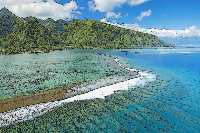
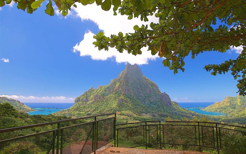
The plateau is characterized by its relatively flat, elevated terrain, contrasting with the surrounding volcanic peaks of Tahiti. Vegetation is primarily tropical, with dense green foliage covering most surfaces. The edges of the plateau often drop off into steeper slopes or valleys.
Location & Access Logistics
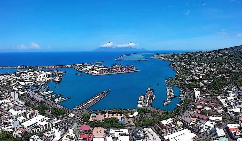
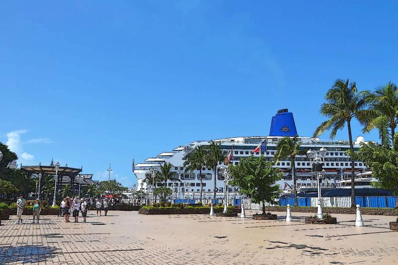
The Taravao Plateau is situated on the isthmus connecting the two main peninsulas of Tahiti, approximately 40 kilometers southeast of Papeete. Access is via Route 1 (Tahiti-Iti Road), which circumnavigates the island. The plateau is visible from the main road. Parking is available at designated pull-offs along Route 1. Public transport options are limited; local buses operate along Route 1, but schedules can be infrequent.
Historical & Ecological Origin
The Taravao Plateau is a remnant of ancient volcanic activity and subsequent erosion. It is classified as a volcanic plateau, formed by lava flows that solidified and were later shaped by weathering and fluvial processes over millennia. It is not a man-made structure.
Key Highlights & Activities
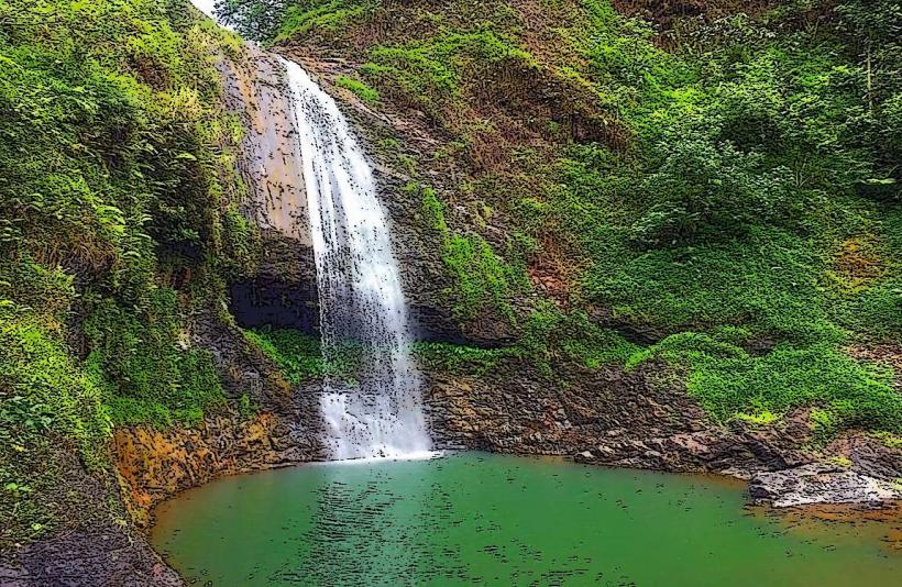
Observation points along Route 1 offer panoramic views of the plateau and surrounding landscape. Hiking trails are present, though often unmaintained and requiring local knowledge for navigation. The plateau serves as a watershed for several rivers flowing into the surrounding lowlands.
Infrastructure & Amenities
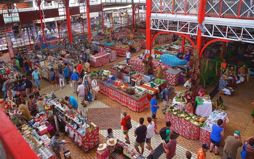
Limited infrastructure exists directly on the plateau. Basic roadside pull-offs may be present. Restrooms and food vendors are typically found in the nearby town of Taravao, approximately 2 kilometers to the west. Cell phone signal (4G/5G) is generally available in the vicinity of Route 1.
Best Time to Visit
The best time for photography is during the morning or late afternoon when the sun angle provides optimal lighting on the terrain. The dry season, from May to October, offers more predictable weather conditions with less rainfall. No specific tide requirements apply.
Facts & Legends
The plateau's elevation provides a natural division between the wetter, mountainous interior and the coastal areas. Local lore sometimes associates the plateau with ancient Polynesian navigation points due to its prominent position.
Nearby Landmarks
- Town of Taravao (1.5km West)
- Point Venus (45km Northwest)
- Faarumai Waterfalls (40km Northwest)
- Marae Arahurahu (42km Northwest)