Landmark: Tahiti Iti (Small Tahiti)
City: Tahiti
Country: French Polynesia
Continent: Australia
Tahiti Iti (Small Tahiti), Tahiti, French Polynesia, Australia
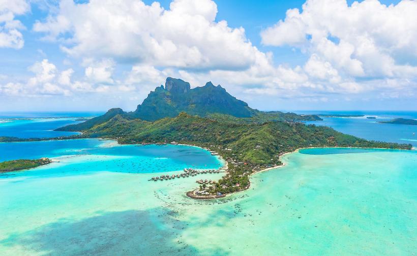
Tahiti Iti, also known as Small Tahiti, is the southeastern peninsula of the island of Tahiti in French Polynesia.
This rugged landmass is characterized by its dramatic volcanic topography and limited human development.
Visual Characteristics
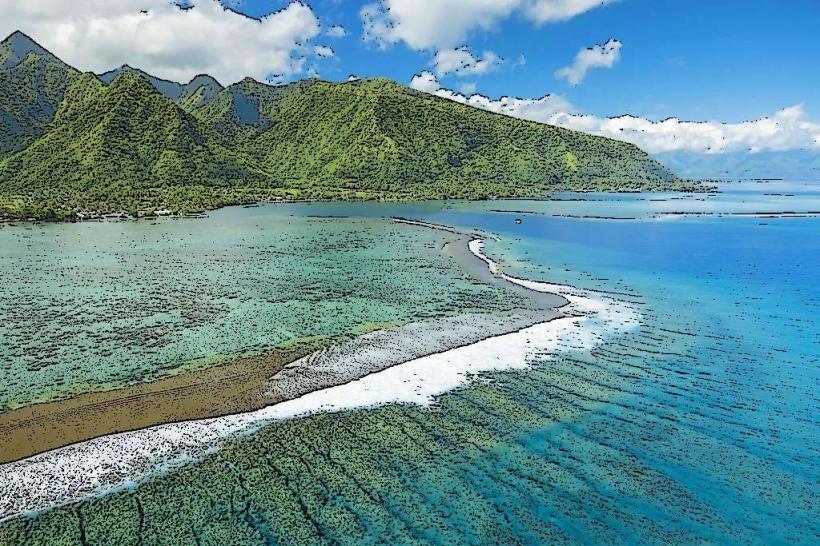
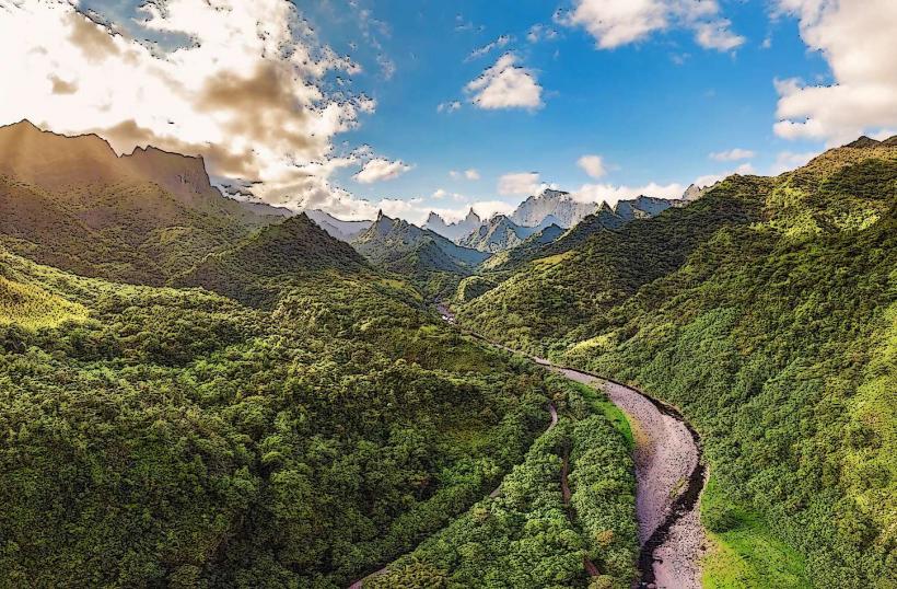
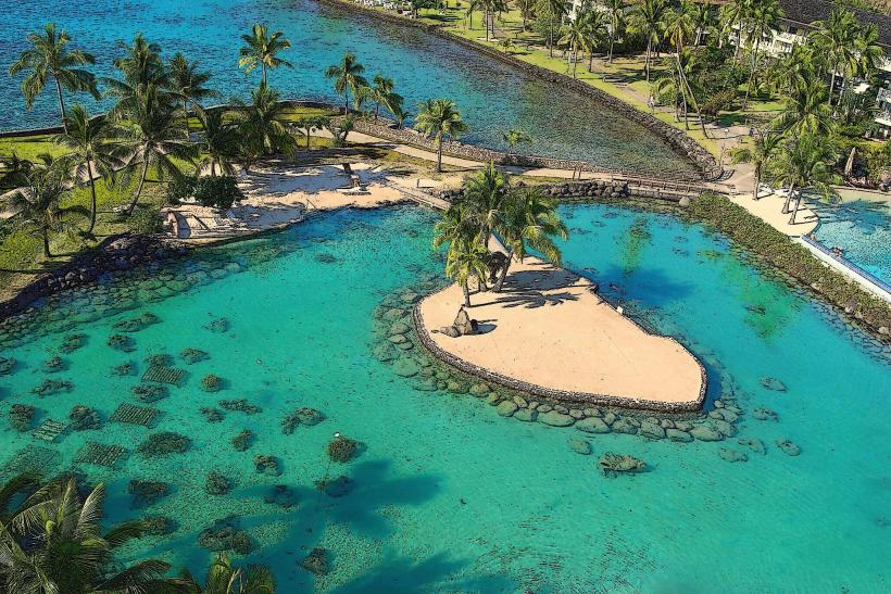
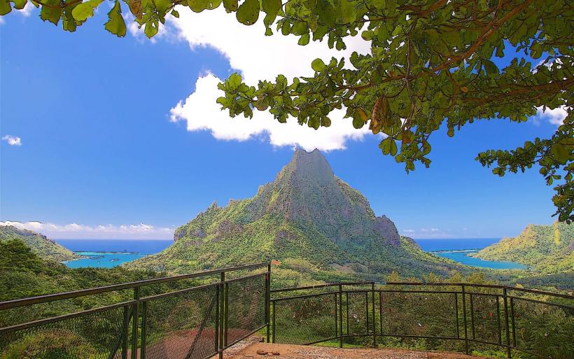
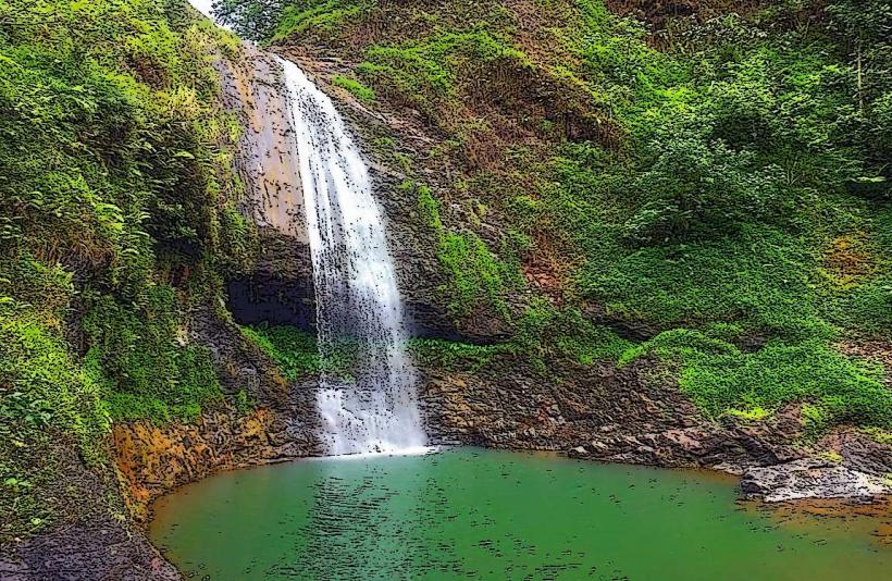
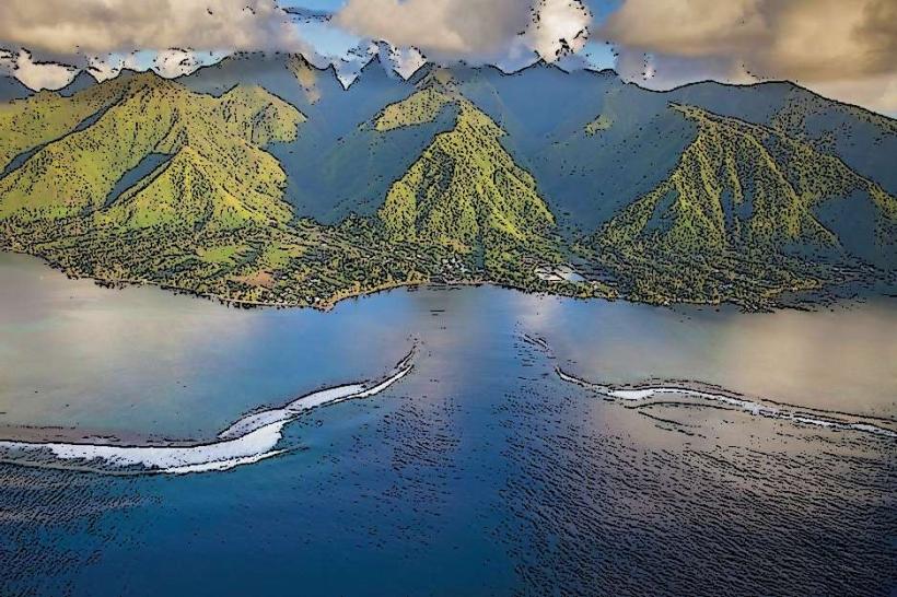
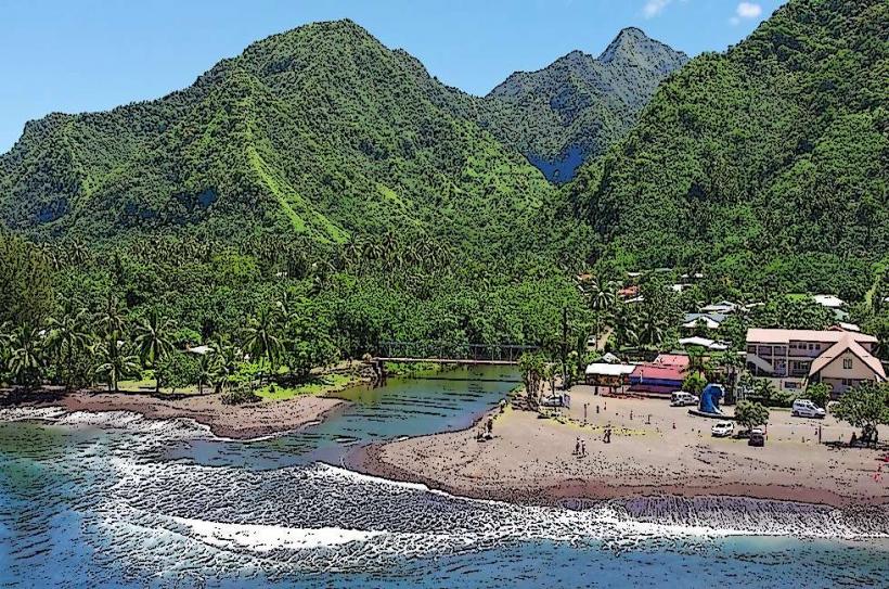
The peninsula features steep, verdant cliffs that plunge directly into the Pacific Ocean. The coastline is predominantly rocky, with limited sandy beaches. Inland, the terrain is mountainous and densely forested, with numerous waterfalls and river valleys. The water color offshore ranges from deep blue to turquoise, depending on depth and seabed composition.
Location & Access Logistics
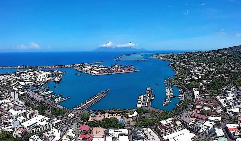
Tahiti Iti is located approximately 50 kilometers southeast of Papeete, the capital city of Tahiti. Access is primarily via the coastal road, Route 10, which encircles the peninsula. The road becomes unpaved and challenging in sections, particularly towards the eastern end. Vehicle access is restricted in many areas, with the most common method of reaching key sites like the Teahupo'o surf break or the Vai'a'a waterfall being by boat or on foot. Limited parking is available at designated points along the coastal road.
Historical & Ecological Origin
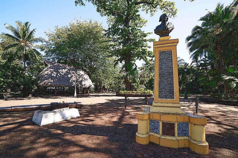
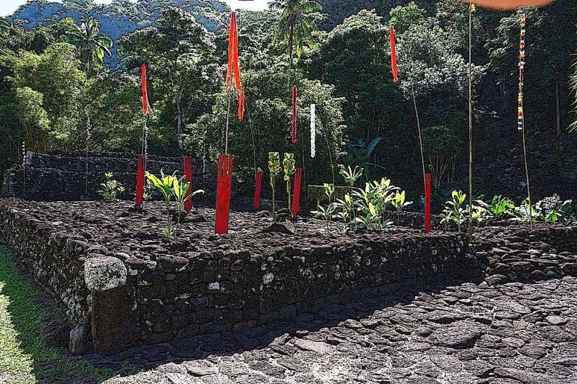
Tahiti Iti is the older, more geologically stable part of the island, formed by ancient volcanic activity. Its ecological classification is tropical rainforest and coastal volcanic landscape. Historically, it was sparsely populated by Polynesians, with evidence of ancient marae (sacred sites) found in the interior. Its relative isolation has preserved its natural state compared to the more developed northwestern part of Tahiti.
Key Highlights & Activities
Activities include boat tours to explore the coastline and access remote bays, such as the Bay of the Whales (Baie des Tortues). Surfing is a primary activity at the world-renowned Teahupo'o break. Hiking trails lead to waterfalls like Vai'a'a and Faarumai. Kayaking and snorkeling are possible in sheltered coves.
Infrastructure & Amenities
Infrastructure is minimal. Restrooms are available at some boat tour departure points and near Teahupo'o. Shade is provided by natural tree cover in forested areas. Cell phone signal is intermittent and generally poor in remote sections of the peninsula. Food vendors are concentrated near Teahupo'o and at the start of boat tours; otherwise, amenities are scarce.
Best Time to Visit
The best months for weather are generally from May to October, during the dry season. For surfing at Teahupo'o, the swell is typically best between April and October. Photography is best in the morning for eastern-facing cliffs and in the afternoon for western-facing areas, considering the sun's angle. High tide is preferable for boat access to certain coves.
Facts & Legends
The name "Tahiti Iti" translates to "Small Tahiti," distinguishing it from the larger, more populated northwestern peninsula. A local legend speaks of the "Man of the Sea" who resides in the deep waters off the coast, protecting the marine life.
Nearby Landmarks
- Teahupo'o surf break (0.2km West)
- Vai'a'a Waterfall (3km West)
- Faarumai Waterfalls (7km East)
- Pueu village (4km West)
- Marae Mahaiatea (6km Northwest)