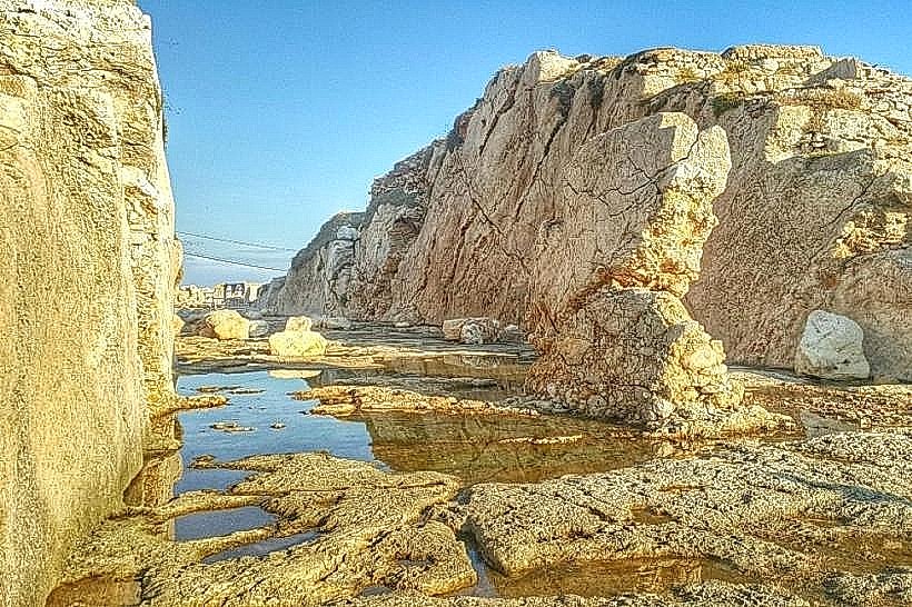
Landmark: Phoenician Trench
City: Anfeh
Country: Lebanon
Continent: Asia
Phoenician Trench, Anfeh, Lebanon, Asia
The Phoenician Trench, also documented as the Anfeh Crusader Trench, is a massive man-made dry moat cut into the solid rock at the base of the Anfeh peninsula within the El Koura District of the North Governorate, Lebanon. This deep rock-cut channel was engineered to separate the maritime headland from the mainland, creating an isolated island fortress.
Visual Characteristics
The Phoenician Trench measures 28 meters wide, up to 10 meters deep, and spans roughly 90 meters from the northern cove to the southern shore of the peninsula. The vertical rock walls are composed of quaternary marine limestone, displaying clear, step-like tooling marks and square cavities from ancient stone quarrying. The floor of the trench is flat, uneven, and covered with loose gravel, wild caper bushes, and salt-tolerant halophytic weeds. The stone surface is highly weathered, showing light-grey and beige coloration with visible marine fossil inclusions.
Location & Access Logistics
The site is situated 65 kilometers north of Beirut and 15 kilometers south of Tripoli. Access from the main North Coastal Highway is via the west exit for Anfeh, following internal paved roads through the historic town center directly to the neck of the peninsula. Vehicles can park on the gravel shoulders and open unpaved municipal lots located directly at the eastern lip of the trench. Public transit is limited to regional coastal buses operating on the Beirut-Tripoli highway corridor; passengers disembark at the Anfeh junction, leaving a 1.5-kilometer flat walk to the archaeological site.
Historical & Ecological Origin
While locally attributed to the Phoenicians due to earlier iron-age modifications and maritime quarrying along the headland, the modern dimension of the Phoenician Trench was primarily executed by Crusader engineers in the 12th century. It served as the primary landward defense for Nephin Castle, the regional stronghold of the Lordship of Nephin. Geologically, the excavation exposed layered marine limestone strata shaped during the Pleistocene epoch. Ecologically, the sheltered floor of the trench creates a microclimate that protects low-lying coastal scrub from direct marine winds.
Key Highlights & Activities
Descending into the base of the trench to inspect the scale of the medieval stone-cutting engineering.
Examining the square joist sockets and anchor points carved into the upper rock walls, which originally supported a defensive wooden drawbridge.
Surveying the structural transition from the artificial trench floor to the adjacent Phoenician-era sea slips and rock-cut quarries.
Documenting the vertical stratifications and tool profiles visible on the exposed limestone faces.
Infrastructure & Amenities
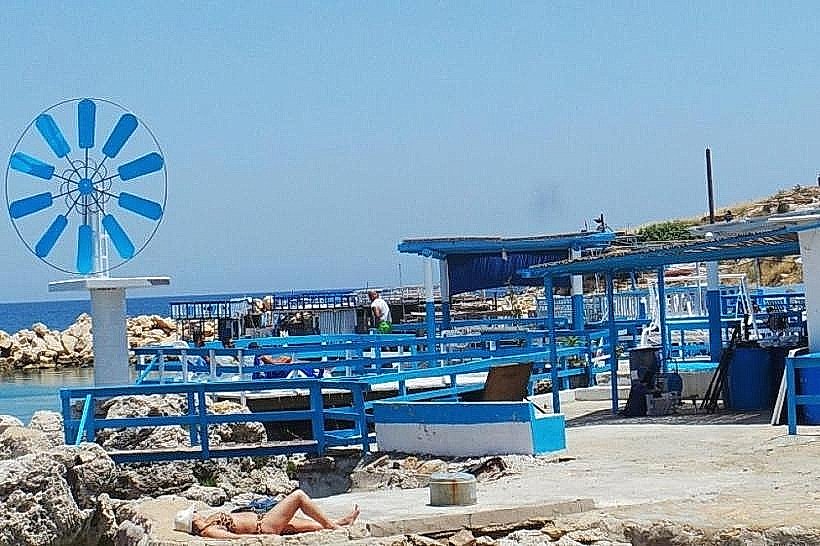
The Phoenician Trench is part of an open-access archaeological heritage zone with no admission fees or formal entry gates. The site lacks visitor infrastructure, meaning there are no public restrooms, visitor centers, or dedicated shade canopies. No safety railings are installed along the vertical edges of the chasm. Cellular signal is exceptionally strong, delivering stable 4G and 5G network coverage due to the open coastal landscape. Commercial services, including cafes and restaurants, are located within a 200-meter walk toward the adjacent fishing harbor.
Best Time to Visit
The optimal months for exploration are from April to November when dry weather ensures safe foot travel along the rocky terrain. Photography is most effective between 15:30 and 17:30, as the low afternoon sun strikes the vertical walls at an angle, highlighting the ancient quarrying marks and casting distinct shadows across the floor of the channel.
Facts & Legends
When the Mamluk sultan Qalawun captured the fortress in 1289, his forces filled parts of the trench with the debris of the dismantled castle walls to ensure the fortifications could never be occupied by returning Crusader fleets. Local oral history long insisted that a hidden, rock-cut chamber at the base of the trench led to an underwater tunnel passing completely beneath the sea floor, though archaeological surveys confirm these voids are simply ancient rainwater cisterns.
Nearby Landmarks
Anfeh Peninsula and Citadel Promontory: 0.1km West
Taht el-Rih Beach: 0.3km West
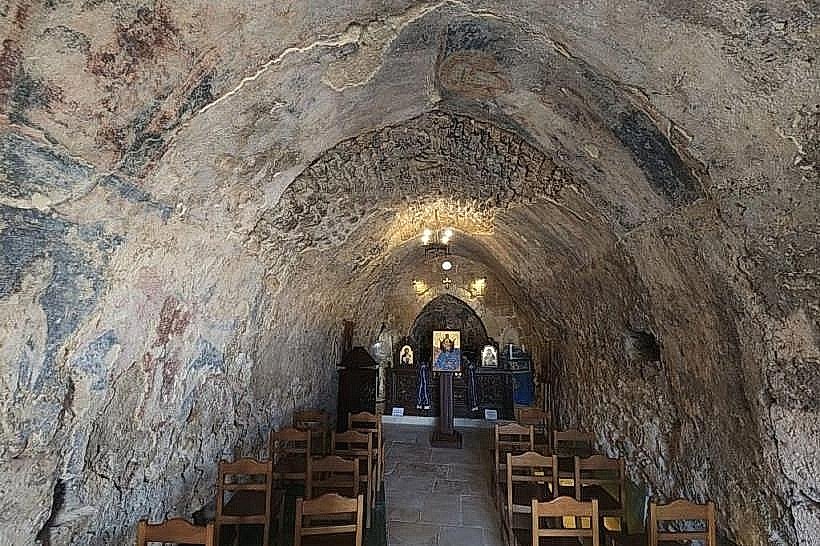
Our Lady of the Wind Church: 0.4km Southwest
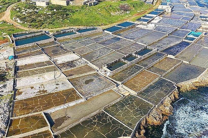
Anfeh Salt Marshes: 0.5km Southwest