Landmark: Taht el-Rih Beach
City: Anfeh
Country: Lebanon
Continent: Asia
Taht el-Rih Beach, Anfeh, Lebanon, Asia
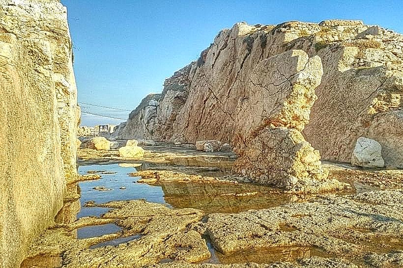
Taht el-Rih Beach is a public coastal strip located along the western peninsula of the town of Anfeh, within the El Koura District of the North Governorate, Lebanon. This maritime site sits directly below a limestone cliff face, functioning as a primary recreational marine enclave along the northern Lebanese littoral.
Visual Characteristics
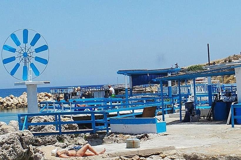
The Taht el-Rih Beach area features a narrow, rocky shoreline characterized by white-washed and blue-painted wooden chalets, concrete decks, and stilt-supported platforms built over the water. The sea floor is primarily composed of light-colored limestone bedrock and smooth pebbles, which contributes to high underwater visibility and a distinct turquoise coloration. The beach lacks natural sand expanses, relying instead on artificial wooden sun decks and concrete piers anchored into the coastal shelf. The vertical cliff line behind the beach creates a steep enclosure that transitions abruptly into the flat urban topography of the town above.
Location & Access Logistics
The beach is situated 65 kilometers north of Beirut and 15 kilometers south of Tripoli. It is accessed via the Beirut-Tripoli coastal highway by taking the Anfeh exit and following the western municipal roads toward the old fishing harbor. Unpaved and paved municipal parking areas are located on the bluffs directly above the descent path. Public transportation is available via the main Beirut-to-Tripoli highway buses, which drop passengers at the Anfeh intersection, requiring a 1.5-kilometer walk westward through the town center to reach the sea-level access stairs.
Historical & Ecological Origin
Geologically, the beach occupies a marine-eroded notch at the base of a Pleistocene limestone terrace. Historically, the area functioned as a natural harbor for Phoenician and Crusader maritime vessels, sheltered by the protruding Ras Anfeh peninsula. The modern layout of the beach developed during the mid-20th century as local fishing families constructed storage shacks along the narrow coastal ledge, which gradually evolved into a residential and recreational beach community known colloquially as "Little Greece" due to its uniform blue-and-white color scheme.
Key Highlights & Activities
Swimming and snorkeling in the deep limestone sea trenches running parallel to the shoreline platforms.
Navigating the interconnected wooden boardwalks and public concrete piers that extend over the surf zone.
Inspecting the traditional small-scale wooden fishing vessels moored along the southern edge of the cove.
Marine landscape photography focusing on the contrast between the white-washed structures and the open sea.
Infrastructure & Amenities
The beach contains a dense cluster of private, open-air seafood restaurants and beach bars that provide seasonal amenities, including outdoor freshwater showers, chemical restrooms, and rental sun loungers. The municipality maintains public access stairs down the cliff side, but there is no wheelchair accessibility due to the steep terrain. Cellular coverage is stable, delivering continuous 4G and 5G signals across the entire cove. No public drinking water fountains exist, but commercial food and beverage options are located directly on the platforms.
Best Time to Visit
The peak operating period runs from May to October when marine currents are calm and water temperatures are suitable for swimming. The optimal time for photography is between 16:30 and 18:30, as the sun sets directly over the western marine horizon, casting a warm light over the white facades and reflecting off the turquoise water.
Facts & Legends
The name Taht el-Rih translates literally from Arabic to "Under the Wind," a descriptive nautical term identifying the cove's geographical protection from the harsh northern and western Mediterranean wind currents. Local fishermen maintain that the deep underwater caves riddling the cliff base beneath the chalets were used during the early 20th century to conceal contraband goods away from coastal customs patrols.
Nearby Landmarks
Anfeh Crusader Trench and Citadel Promontory: 0.4km Northeast
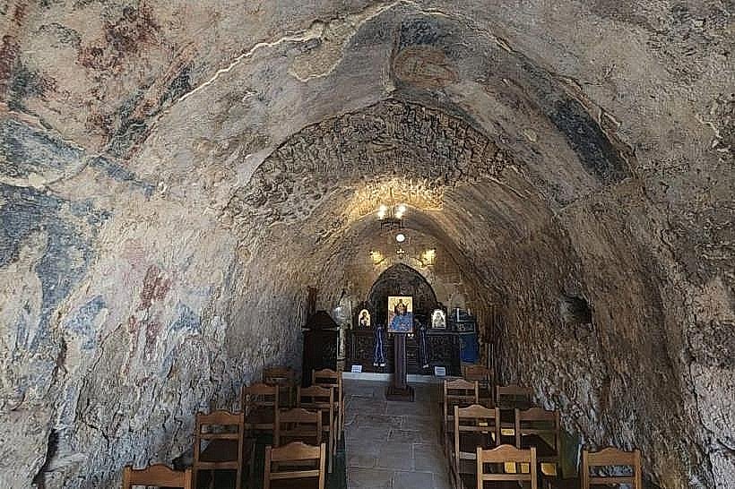
Our Lady of the Wind Church (Saydet El Rih): 0.2km East
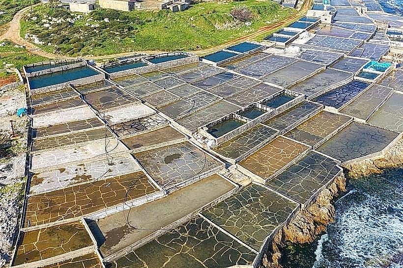
Anfeh Salt Marshes: 0.5km Southwest
Deir El Natour Monastery: 3.8km North