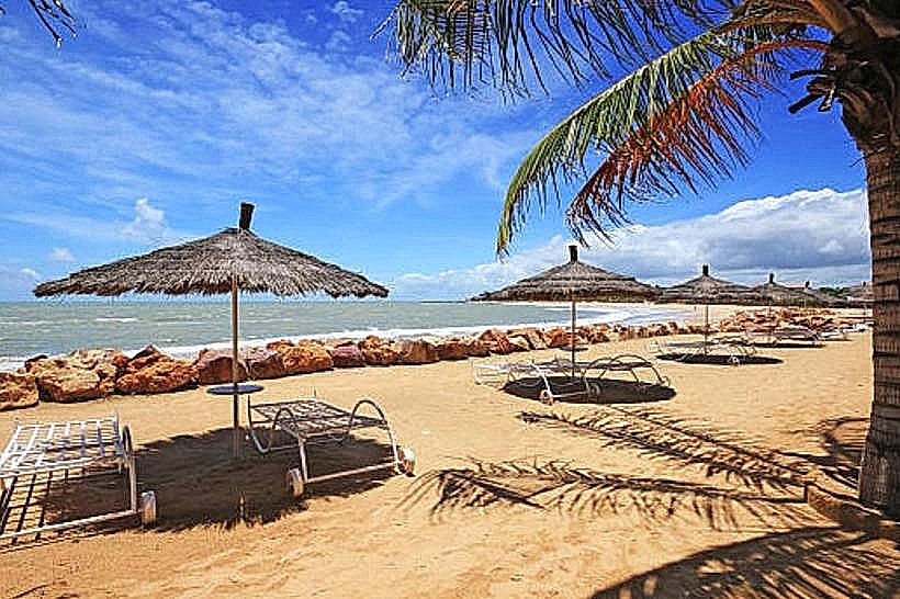
Landmark: Plage de Bel-Air
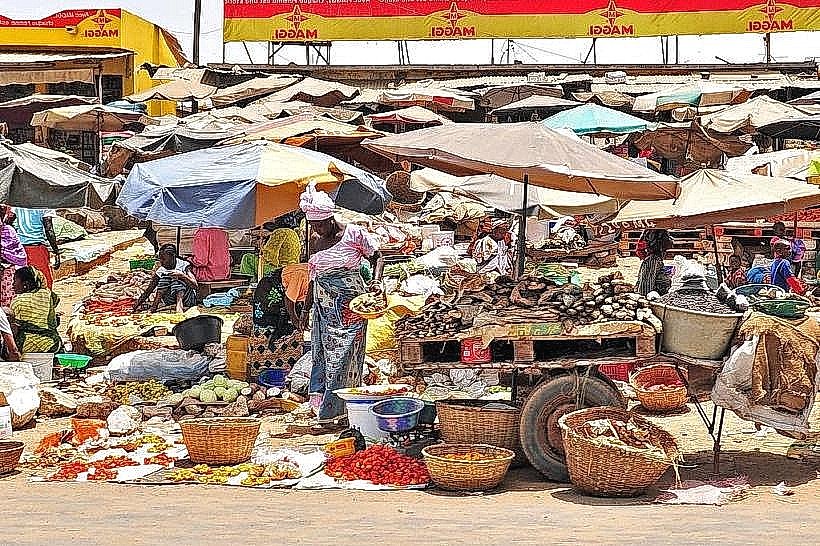
City: Dakar
Country: Senegal
Continent: Africa
Plage de Bel-Air, Dakar, Senegal, Africa
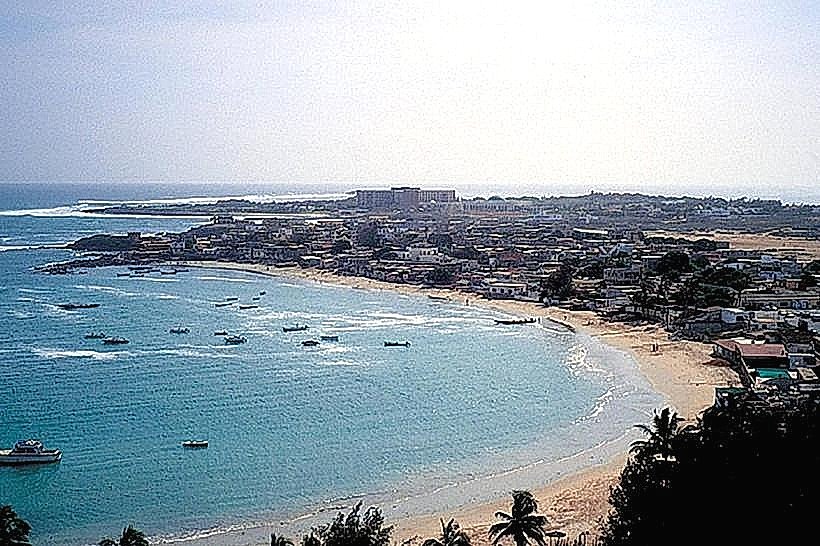
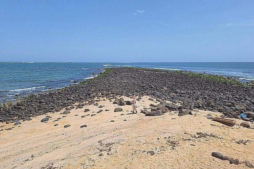
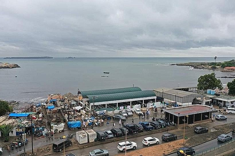
Plage de Bel-Air is a coastal beach and industrial-adjacent recreational strip located in the Hann-Bel Air commune of Dakar, Senegal. The site sits on the eastern side of the Cap-Vert peninsula, facing the Baie de Hann and the Port of Dakar.
Visual Characteristics
The beach features a crescent-shaped shoreline with fine, pale-grey sand and relatively calm, shallow waters compared to the Atlantic-facing western coast. The horizon is dominated by the industrial infrastructure of the Port of Dakar and anchored cargo ships. Vegetation is minimal, consisting of sparse clusters of coconut palms and hardy coastal shrubs. The sand texture is often impacted by nearby maritime activity, and the water color ranges from murky green to deep blue depending on tidal movements.
Location & Access Logistics
The site is situated along the Boulevard du Centenaire de la Commune de Dakar, approximately 4km northeast of the Dakar Plateau city center. Access is via the Route de Rufisque or the N1 highway. Public transit options include Dakar Dem Dikk bus lines 4, 12, and 15, which stop at the "Bel-Air" or "Hann" stations. Taxis frequently service the area; limited informal parking is available along the beachfront access roads and near the Cercle de l'Union building.
Historical & Ecological Origin
Plage de Bel-Air is a natural sandy inlet within the larger Baie de Hann. During the colonial era and the mid-20th century, it served as a primary residential and recreational zone for the city's administrative elite. Over recent decades, the ecological classification has shifted toward an urbanized coastal zone due to the expansion of the neighboring industrial park and port facilities.
Key Highlights & Activities
Recreational swimming is common in the calmer waters of the bay. The beach is a frequent site for local athletic training, particularly for football and traditional Senegalese wrestling (Laamb) in the late afternoons. Small-scale artisanal fishing occurs near the southern end, where traditional pirogues are occasionally launched. The Voile d'Or and other private beach clubs offer gated access to maintained sections of the shoreline.
Infrastructure & Amenities
Infrastructure varies by section; private beach clubs provide restrooms, changing rooms, and shaded seating for a fee. Public areas have minimal facilities and no dedicated trash collection systems. Cellular signal strength for 4G and 5G is high across the entire beach. Food vendors and small restaurants specializing in grilled fish and "dibiterie" are located within a 300-meter radius of the main entry points.
Best Time to Visit
The best time for photography is during the early morning (07:00 to 09:00) to capture the silhouette of the port infrastructure against the sunrise. Weather is most favorable from December to April when temperatures are moderate. Mid-afternoon visits (15:00 to 17:00) are optimal for observing local sports culture. The beach is generally less crowded on weekdays compared to Sunday afternoons.
Facts & Legends
A verified historical oddity is that the beach was once the site of the first seaplane base in West Africa, serving as a critical refueling point for French postal flights crossing the Atlantic in the early 20th century. Local fishers maintain a tradition of naming specific underwater rock formations in the bay after historical figures from the Hann village.
Nearby Landmarks
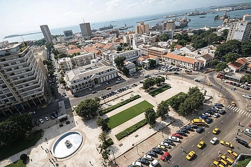
Port of Dakar: 1.5km South
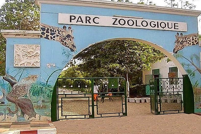
Parc Forestier et Zoologique de Hann: 2.2km North
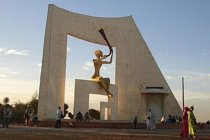
Place de la Nation (Obélisque): 3.1km West
Gare de Dakar (Train Station): 3.8km Southwest
Hann Marinas: 1.1km North