Landmark: Punta de la Cueva
City: Isla de la Juventud
Country: Cuba
Continent: North America
Punta de la Cueva, Isla de la Juventud, Cuba, North America
Punta de la Cueva is a coastal geological formation located on the western side of Isla de la Juventud, Cuba.
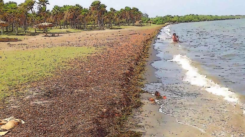
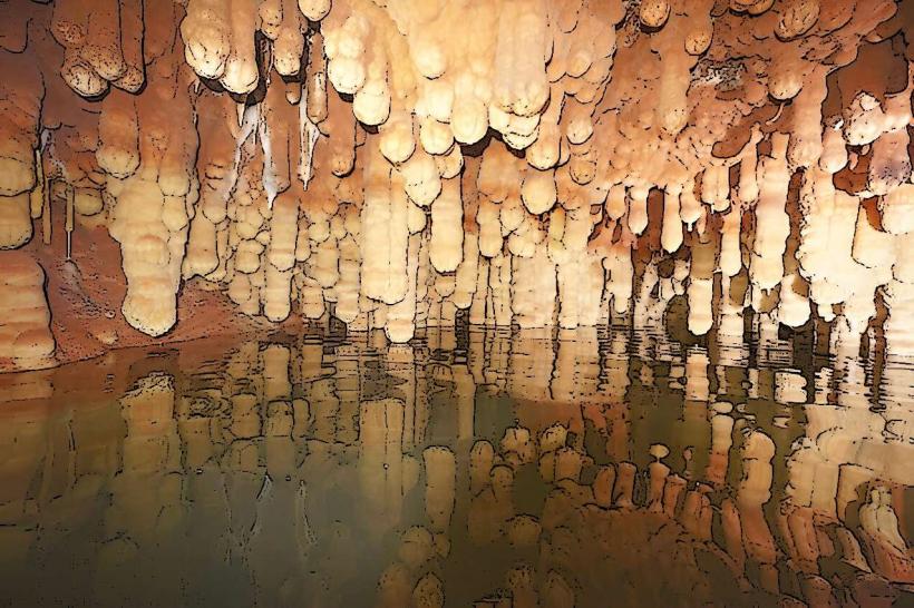
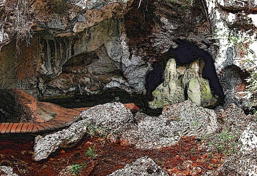
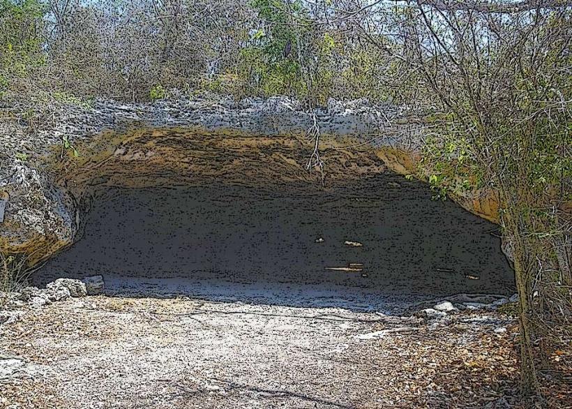
This site features a prominent limestone cliff face with a significant cave opening overlooking the Caribbean Sea.
Visual Characteristics
The cliff is composed of porous, light-colored limestone, exhibiting erosion patterns. The cave entrance is a large, irregular aperture approximately 15 meters wide and 10 meters high. The surrounding vegetation is sparse, consisting of drought-resistant shrubs and small trees. The sea directly below the cliff is typically clear, with depths increasing rapidly offshore.
Location & Access Logistics
Punta de la Cueva is situated approximately 25 kilometers west of Nueva Gerona, the capital of Isla de la Juventud. Access is via the Carretera de la Fe, turning onto a dirt track approximately 2 kilometers before reaching the village of Cocodrilo. The dirt track is approximately 3 kilometers long and is passable by standard vehicles in dry conditions; 4x4 is recommended after rainfall. Parking is available on a small, unpaved area near the cliff base. No public transport services this specific location.
Historical & Ecological Origin
The limestone formation is a result of marine erosion and karst processes acting on ancient coral reef deposits. The cave itself was likely formed by wave action and dissolution of the soluble rock over millennia. Historically, the cave has been documented as a potential shelter or meeting point, though no extensive archaeological findings have been widely reported.
Key Highlights & Activities
Exploration of the cave entrance is possible on foot. Observation of marine life from the cliff edge is feasible. Photography of the geological features and coastal views is a primary activity. Swimming is not recommended directly below the cliff due to strong currents and submerged rocks.
Infrastructure & Amenities
No formal infrastructure or amenities are present at Punta de la Cueva. There are no restrooms, designated shade structures, or food vendors. Cell phone signal (3G/4G) is intermittent and generally unreliable at the site.
Best Time to Visit
For photography, the late afternoon offers direct sunlight on the cliff face. The dry season, from November to April, provides the most reliable access conditions for the dirt track. There are no tidal dependencies for accessing the cave entrance area.
Facts & Legends
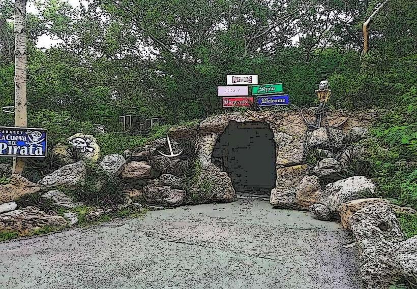
Local lore suggests that the cave was used by pirates to store contraband, though no verifiable evidence supports this claim. The name "Punta de la Cueva" translates to "Point of the Cave," directly referencing its most prominent feature.
Nearby Landmarks
- Playa Cocodrilo (0.8km East)
- Cayo Rico (4.5km Southwest)
- El Colony International Diving Center (6.2km West)