Landmark: Sarlat la Caneda
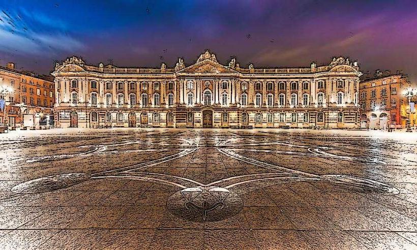
City: Toulouse
Country: France
Continent: Europe
Sarlat la Caneda, Toulouse, France, Europe
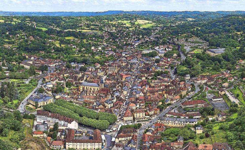
Sarlat-la-Canéda is a medieval town and the capital of the Périgord Noir region, located in the Dordogne department of southwestern France. It is situated approximately 160 kilometers north of Toulouse and is recognized for its dense concentration of 13th- to 16th-century architectural heritage.
Visual Characteristics
The town is characterized by buildings constructed from local yellow ochre limestone, topped with heavy "lauze" (flat stone) roofs. Its layout consists of a labyrinth of narrow, winding medieval alleys, hidden courtyards, and plazas such as the Place de la Liberté. Architectural styles range from medieval half-timbering to Italianate Renaissance, featuring stone mullioned windows, pointed turrets, and vaulted archways.
Location & Access Logistics
Sarlat is accessible from Toulouse via the A20 motorway (exit 55) or by the TER regional train service with a transfer at Brive-la-Gaillarde. The Gare de Sarlat is located 1.5 kilometers south of the historic center. Vehicle access is restricted within the pedestrianized core; large paid parking lots, such as Parking des Cordeliers and Parking de la Grande Rigaudie, are located around the perimeter.
Historical & Ecological Origin
The town originated around a 9th-century Benedictine abbey and flourished during the Middle Ages under the direct protection of the Pope. It was the first site in France to be restored under the 1962 Malraux Law, which aimed to preserve historic urban centers. Geologically, the town is built into a limestone basin within the Vézère Valley ecosystem, known for its high density of prehistoric caves and cliffs.
Key Highlights & Activities
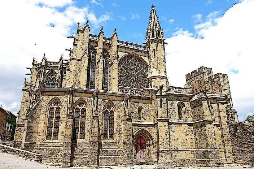
Visitors can ascend the 12th-century Église Sainte-Marie bell tower via a panoramic glass elevator for views of the rooftops. The bi-weekly market (Wednesdays and Saturdays) in the main square is a primary activity, focusing on truffles, foie gras, and walnuts. The Lanterne des Morts (Lantern of the Dead) and the Cathédrale Saint-Sacerdos are the primary architectural sites for exploration.
Infrastructure & Amenities
Public restrooms are available at the Place de la Grande Rigaudie and near the Mairie (City Hall). The town center provides stable 5G cellular coverage. Most main thoroughfares are paved with cobblestones, making wheelchair access difficult in steeper side alleys. Numerous ATMs, pharmacies, and specialty food vendors are concentrated along the Rue de la République.
Best Time to Visit
The best time for photography is early morning before the market stalls or tourist crowds arrive, highlighting the yellow limestone tones. Late autumn (November–December) is optimal for culinary enthusiasts during the truffle and fat market season. The "Soirée Patrimoine" in summer features the town lit entirely by 2,000 candles on specific evenings.
Facts & Legends
A historical oddity is that the town was split in two by the Rue de la République in the 19th century to modernize traffic, yet it remains one of the most intact medieval ensembles in Europe. Local legend claims that the Lanterne des Morts was built to commemorate the passage of Saint Bernard in 1147. Sarlat is frequently used as a filming location for period movies due to the absence of modern external utility lines.
Nearby Landmarks
Cathédrale Saint-Sacerdos: 0.1km East
Lanterne des Morts: 0.2km Southeast
Manoir de Gisson: 0.1km West
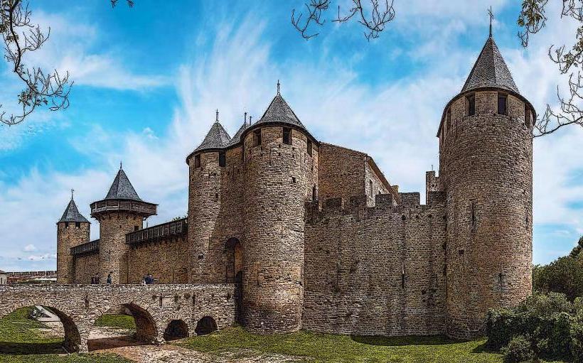
Château de Beynac: 10km Southwest
Lascaux IV Caves: 25km North