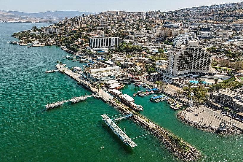
Landmark: Tiberias Waterfront
City: Tiberias
Country: Israel
Continent: Asia
Tiberias Waterfront, Tiberias, Israel, Asia
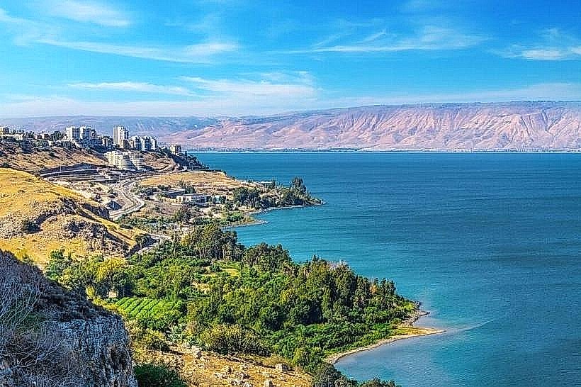
The Tiberias Waterfront, also known as the Yigal Allon Promenade, is the central pedestrian thoroughfare of the city, extending along the western shore of the Sea of Galilee. It serves as the primary hub for tourism, commercial dining, and marine transit.
Visual Characteristics
The promenade is a wide, stone-paved walkway lined with mature date palms and modern benches. To the east, it offers unobstructed panoramic views of the lake and the Golan Heights. The western side is characterized by a high density of restaurants and commercial buildings constructed from a mix of modern glass and historic dark basalt stone. At night, the area is heavily illuminated by functional street lighting and neon signage from local businesses.
Location & Access Logistics
The waterfront spans approximately 1.5km, beginning near the northern docks and extending south toward the municipal beach. It is situated at the base of the city's central commercial district. Access by car is via Ha-Banim or HaYarden streets, with numerous paid parking lots positioned between the main road and the pedestrian zone. It is located 400 meters east of the Tiberias Central Bus Station.
Historical & Ecological Origin
This coastal strip has functioned as the city's interface with the Sea of Galilee since Tiberias was founded in 18 CE. Geologically, it sits on the basaltic edge of the Jordan Rift Valley. The current promenade was developed in the late 20th century to modernize the waterfront, transitioning from a functional fishing harbor to a recreational urban space designed to withstand the fluctuating water levels of the lake.
Key Highlights & Activities
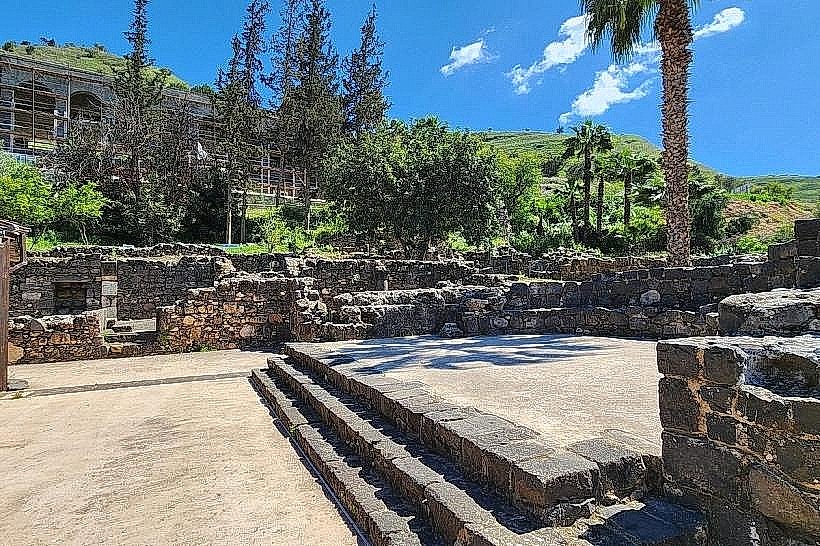
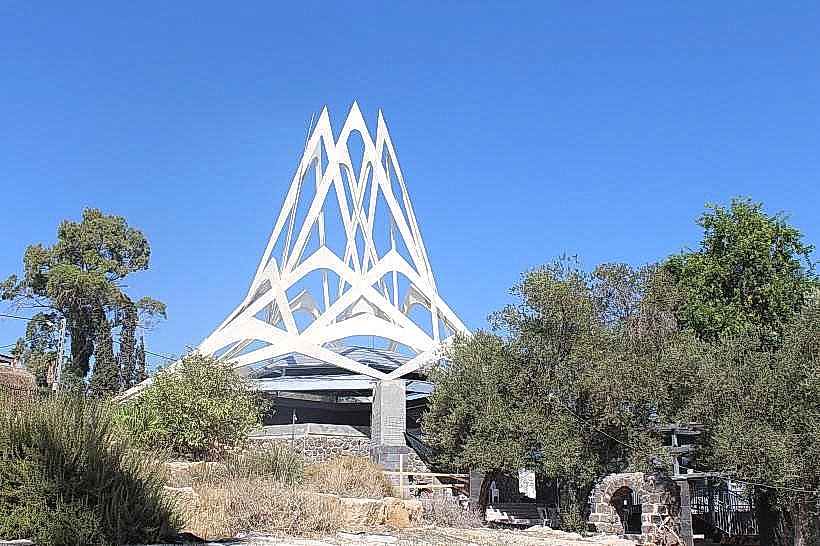
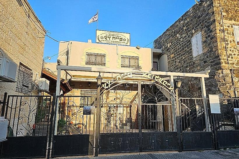
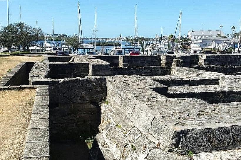
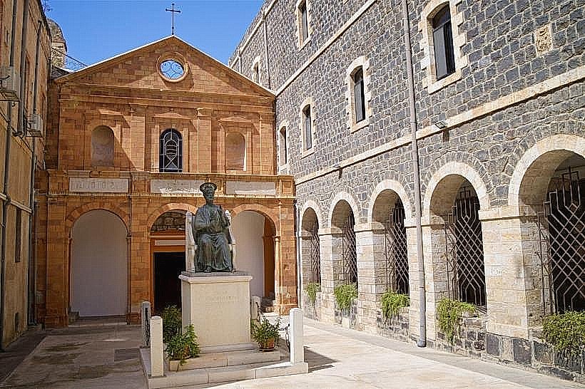
The promenade is the departure point for wooden "Jesus Boat" replicas and commercial ferries that provide lake tours. High-density restaurant clusters offer local freshwater fish, specifically Tilapia (St. Peter's Fish). The St. Peter's Church and several Ottoman-era ruins are integrated into the walkway's architecture. During tourist seasons, the area hosts an open-air market for local crafts and religious souvenirs.
Infrastructure & Amenities
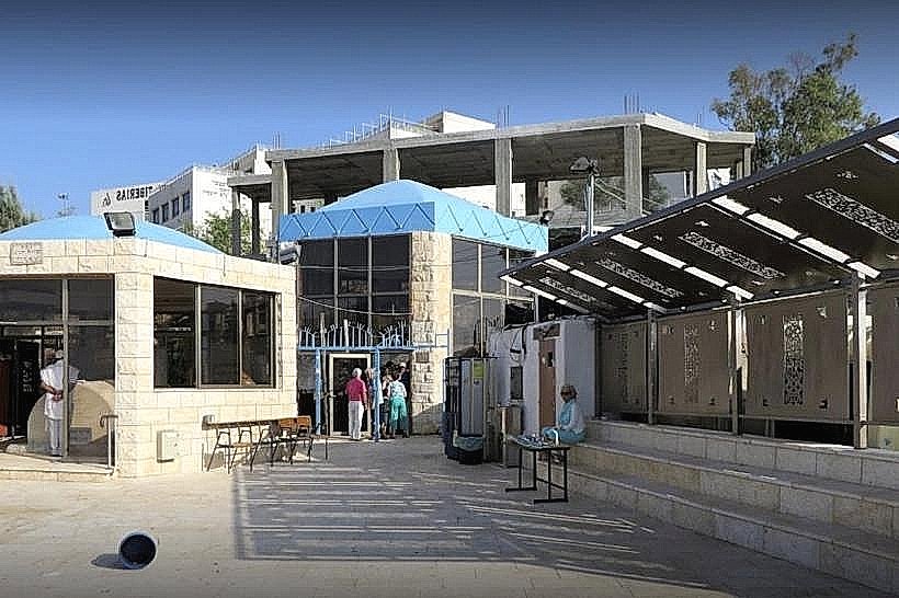
The waterfront is equipped with public restrooms, drinking water fountains, and tourist information kiosks. The entire length of the promenade is level and ADA-compliant, making it accessible for wheelchairs and strollers. Full 5G cellular coverage is available throughout the site. Shade is provided by palm trees and the covered terraces of the adjacent restaurants.
Best Time to Visit
The area is open 24 hours a day and reaches peak activity during the evening hours when the temperature drops. The "Golden Hour" before sunset is the optimal time for photography of the Golan Heights reflected in the water. Saturday nights (after Shabbat) and holidays see the highest volume of pedestrian traffic.
Facts & Legends
A large digital measurement pole on the promenade displays the current water level of the Sea of Galilee, a metric of significant national interest in Israel. A local historical oddity is the presence of heavy basalt sea walls designed to protect the lower city from sudden, violent waves caused by the "Sharkia" winds, which can drive lake water inland with significant force.
Nearby Landmarks
St. Peter's Church – 0.1km North
Dona Gracia Museum – 0.4km West
Tomb of Maimonides – 0.6km Northwest
Berko Archaeological Park – 2.2km South
Tiberias Marina – 0.2km South