Landmark: Tongo Hills & Tenzug Shrines
City: Bolgatanga
Country: Ghana
Continent: Africa
Tongo Hills & Tenzug Shrines, Bolgatanga, Ghana, Africa
Tongo Hills and Tenzug Shrines are a series of granite rock formations and ancestral spiritual sites located in the Talensi District of the Upper East Region, Ghana. The site is situated approximately 15 kilometers southeast of the regional capital, Bolgatanga, within the Guinea Savanna zone.
Visual Characteristics
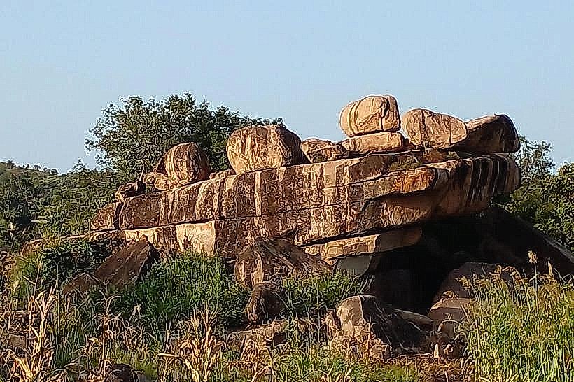
The landscape is dominated by massive, weathered granite boulders, balanced rocks, and deep natural fissures. Vegetation consists of sparse baobab and acacia trees interspersed with terraced millet and sorghum fields. Traditional Talensi homesteads, characterized by circular mud walls and flat mud roofs, are integrated directly into the rocky elevations, utilizing the natural stone as defensive barriers and structural foundations.
Location & Access Logistics
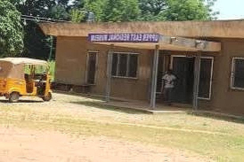
Access is via a paved road branching east from the N10 highway south of Bolgatanga, followed by a 5-kilometer unpaved ascent into the hills. Public transport (tro-tros) and motorized tricycles (Pragyia) operate frequently between Bolgatanga and the Tongo central market. A designated dirt parking area and a community-run visitor center are located at the base of the Tenzug village climb.
Historical & Ecological Origin
The Tongo Hills are part of the Birimian rock system, formed over 2 billion years ago through tectonic uplift and subsequent erosion. Historically, the Tenzug Shrines served as a high-altitude refuge for the Talensi people during the 19th-century slave raids. The most significant site, the Tengzug Shrine, remains one of the most powerful oracles in West Africa, attracting pilgrims from across the sub-region.
Key Highlights & Activities
Guided trekking through the "Whistling Rocks"-granite formations that produce audible sounds during high winds-is a primary activity. Visitors can tour the Tana’s Shrine (the Oracle), which requires the removal of shirts and shoes as a mark of respect. Cultural tours include visits to the Chief’s Palace, a sprawling labyrinthine mud structure containing over 300 rooms for his extended family.
Infrastructure & Amenities
The visitor center provides basic administrative services, a small seating area, and public restrooms. Shade is limited to the interior of traditional huts and the underside of large rock overhangs. Cellular signal (4G) is stable on the peaks but intermittent within the deep rocky valleys; local vendors at the Tongo market sell bottled water and light snacks.
Best Time to Visit
The dry season from November to March is optimal for hiking and provides the best visibility of the surrounding plains. Photography is most effective at 07:00 or 16:30, when the low sun casts long shadows across the textured granite boulders. During the rainy season (June–October), the hills turn lush green, but the unpaved mountain tracks can be slippery.
Facts & Legends
Local tradition holds that the rocks are sentient and serve as guardians of the community, with specific boulders designated for different ancestral spirits. A verified historical oddity is the "Whistling Rocks," which have natural perforations that create a flute-like harmony when the harmattan winds blow from the Sahara.
Nearby Landmarks
Tongo Whistling Rocks: 0.8km North
Bolgatanga Market: 15.5km Northwest
Pwalugu Tomato Factory: 12.0km Southwest
Zuarungu Central: 10.5km North