Landmark: Tono Irrigation Dam
City: Bolgatanga
Country: Ghana
Continent: Africa
Tono Irrigation Dam, Bolgatanga, Ghana, Africa
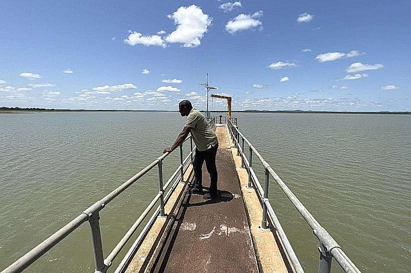
Tono Irrigation Dam is a large-scale agricultural reservoir located in the Kassena-Nankana Municipal District of the Upper East Region, Ghana. The facility is situated approximately 8 kilometers southwest of Navrongo and serves as one of the largest agricultural irrigation projects in West Africa.
Visual Characteristics
The site is defined by a 3.5-kilometer-long earth-fill embankment that impounds the Tono River, creating a reservoir covering approximately 1,860 hectares. The landscape features a vast expanse of open water bordered by engineered concrete irrigation canals and organized rectangular plots of rice, soya beans, and vegetables. The surrounding terrain is flat Guinea savanna with scattered low-lying shrubs and seasonal green cover.
Location & Access Logistics
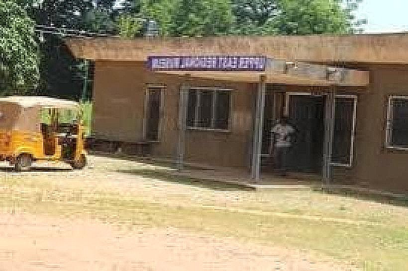
Access is via an unpaved but graded lateral road branching southwest from the Navrongo-Sandema road. Visitors can reach the dam using local taxis or motorized tricycles (Pragyia) from the Navrongo central market, with a transit time of approximately 20 minutes. A designated parking area for administrative vehicles and visitors is located near the ICOUR (Irrigation Company of Upper Region) headquarters at the dam site.
Historical & Ecological Origin
The dam was constructed between 1975 and 1985 by the Government of Ghana with technical assistance from Tate & Lyle Technical Services. Geologically, the reservoir sits within the Voltaian Basin, utilizing the natural catchment of the Tono River to provide year-round water for over 2,500 hectares of farmland. It created a permanent wetland ecosystem in an otherwise arid region, attracting various migratory bird species.
Key Highlights & Activities
The dam is a primary location for birdwatching, particularly during the European winter months when migratory species frequent the reservoir. Small-scale artisanal fishing is permitted in designated zones of the lake. Educational tours of the irrigation infrastructure, including the gravity-fed canal system and the water treatment plant, can be arranged through the ICOUR management office.
Infrastructure & Amenities
The ICOUR administrative complex provides basic restrooms and a shaded reception area for official visitors. Shade is primarily found under the large neem and mango trees planted around the residential and administrative quarters, as the dam wall itself is fully exposed. Cellular signal (4G) is stable across the site, and the nearby ICOUR clubhouse offers limited food and beverage services.
Best Time to Visit
The optimal period for birdwatching is from December to February during the Harmattan season. Photography is most effective at sunrise (06:00–07:30) or sunset (17:30–18:30) when the water reflects the sky and the heat is manageable. The agricultural landscape is most vibrant during the dry season (November–April) when the irrigation system is in full operation against the parched surrounding savanna.
Facts & Legends
A verified historical oddity is that the dam was specifically engineered to operate almost entirely by gravity, requiring minimal electrical pumping to distribute water to the thousands of downstream farmers. Local residents often refer to the reservoir as a "life-giver" due to its role in preventing seasonal migration by providing employment during the traditional "hungry season" of the dry months.
Nearby Landmarks
Navrongo Our Lady of 7 Sorrows: 8.5km Northeast
Navrongo Health Research Centre: 7.2km Northeast
C.K. Tedam University of Technology and Applied Sciences: 10.2km East
Paga Crocodile Pond: 16.5km North