Landmark: Vaisigano River Bridge
City: Apia
Country: Samoa
Continent: Australia
Vaisigano River Bridge, Apia, Samoa, Australia
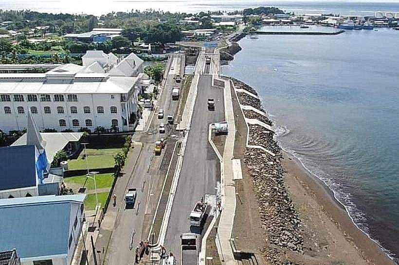
The Vaisigano River Bridge is a critical infrastructure link and landmark spanning the mouth of the Vaisigano River in Apia. It connects the central business district to the industrial and residential areas of Vaiala and Matautu, serving as the main coastal gateway to the Apia Port.
Visual Characteristics
The bridge is a modern, 75-meter-long concrete girder structure supported by reinforced piers. It features two vehicle lanes, wide pedestrian walkways on both sides, and integrated safety railings. The design is functional and industrial, with a flat profile that sits approximately 1.5 meters higher than its predecessor to mitigate flooding. The bridge is finished in neutral grey concrete and features modern LED street lighting along its span.
Location & Access Logistics
The bridge is located on Beach Road, positioned between the government complex and the Apia Port. It is a 5-minute walk from the Apia Clock Tower and the central waterfront area. Pedestrian access is unrestricted, and the bridge is a primary thoroughfare for all vehicles traveling east from the city center. Public parking is available at the nearby Matautu wharf or in the city center lots.
Historical & Ecological Origin
The current bridge was completed in 2020 and funded through a partnership with the Government of Japan to replace the old structure built in 1953. The reconstruction was necessary due to the severe damage caused by Cyclone Evan in 2012. Geologically, it spans the estuary of the Vaisigano River, which is the primary drainage system for the central Upolu highlands, including the Mount Vaea watershed.
Key Highlights & Activities
Walking across the bridge provides a panoramic view of the Apia harbor and the incoming fishing vessels. It is a popular spot for photography, especially for capturing the city skyline and the surrounding mountains. During local festivals and rowing regattas (fautasi), the bridge serves as a primary viewing platform for the finish line near the harbor.
Infrastructure & Amenities
The bridge is a purely functional transport link with no dedicated on-site amenities. However, its central location provides immediate access to the 5G cellular network and high-speed fiber connectivity. Restrooms and food vendors are located within a 200-meter radius at the Samoa Cultural Village or the various cafes along the Matautu waterfront.
Best Time to Visit
Sunset is the optimal time for photography, as the bridge offers an unobstructed view of the sun dipping behind the Mulinu'u Peninsula. Early morning is also recommended to observe the local rowing teams practicing in the river mouth. The bridge is accessible 24 hours a day and remains well-lit for nighttime pedestrian crossings.
Facts & Legends
A unique engineering fact is that the bridge was designed with a 100-year lifespan, incorporating advanced flood-defense mechanisms to withstand climate-driven sea-level rises. Local residents recall the "old bridge" as a social hub for youth diving into the river, a practice that has largely ceased with the higher elevation and increased traffic of the new structure.
Nearby Landmarks
Apia Port & Wharf – 0.3km East
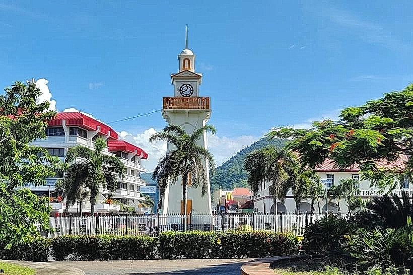
Apia Clock Tower – 0.4km West
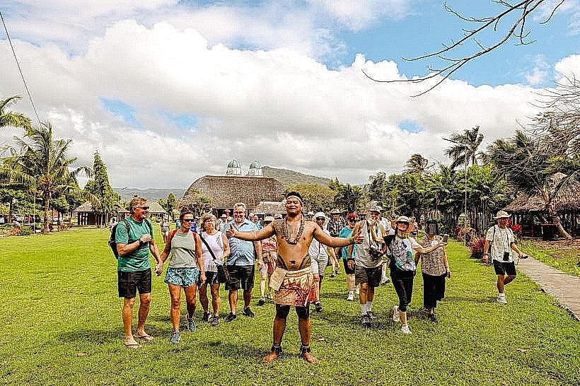
Samoa Cultural Village – 0.6km West
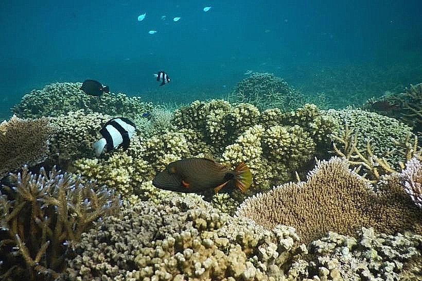
Palolo Deep Marine Reserve – 0.9km East
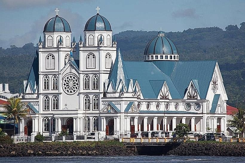
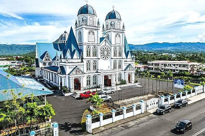
Immaculate Conception Cathedral – 0.7km West