Landmark: Aammiq Wetland
City: Zahle
Country: Lebanon
Continent: Asia
Aammiq Wetland, Zahle, Lebanon, Asia
The Aammiq Wetland (Ammiq Marsh) is the largest remaining freshwater wetland reserve in Lebanon, located on the flat valley floor of the West Beqaa District within the Beqaa Governorate. Spanning 253 hectares of core reedbeds and seasonal open pools, it represents a critical ecological refuge in the Middle East and is recognized globally as a RAMSAR site and a UNESCO Biosphere Reserve.
Visual Characteristics
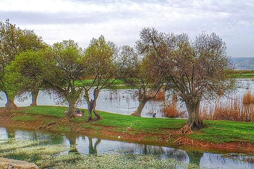
The wetland features an extensive network of shallow freshwater pools, slow-moving streams, and dense stands of common reeds (Phragmites australis) and cattails. Situated at an elevation of approximately 860 meters above sea level, the terrain is flat and marshy, transitioning abruptly at its western perimeter into the steep, rocky slopes of the Shouf Mountains. Water buffaloes graze the open waters to manage vegetation density. The landscape shifts color dramatically across the seasonal cycle, displaying vibrant greens and blooming water lilies in spring, turning to parched ochre and brown tones by late summer.
Location & Access Logistics
The reserve lies on the western edge of the Beqaa Valley, 7 kilometers south-southwest of the town of Qab Elias and approximately 70 kilometers east of Beirut. Access from the capital is via the international Beirut-Damascus highway, crossing the Mount Lebanon ridge, and turning south at the Chtaura junction onto the West Beqaa highway toward Ammiq village. A dedicated gravel parking lot is located at the main eco-trailhead entrance. Public transit is limited to intercity minivans running from Beirut's Cola intersection to Chtaura, from which a private taxi must be hired to complete the remaining 10-kilometer trip to the marsh.
Historical & Ecological Origin
The marsh is the final major remnant of a vast network of prehistoric lakes and wetlands that historically occupied the entire internal basin of the Beqaa Valley. Over the 20th century, systematic agricultural drainage projects reduced these marshes to their current size. It was designated a RAMSAR Wetland of International Importance in 1999 and incorporated into the Shouf Biosphere Reserve in 2005. Geologically, the wetland is fed directly by sub-surface aquifers and karst springs originating from the winter rain and snowmelt of the adjacent Mount Barouk limestone ridge.
Key Highlights & Activities
Primary activities center on low-impact ecotourism, nature walks, and professional birdwatching along an established 3-kilometer circular dirt path. The site sits on one of the primary intercontinental bird migration corridors in the world; over 260 species of resident and migratory birds have been documented here, including storks, pelicans, marsh harriers, and rare waterfowl. Visitors can access a dedicated wooden bird-observation hide to photograph wildlife without causing disturbance. Hiking off the designated trails is strictly prohibited to protect nesting habitats.
Infrastructure & Amenities
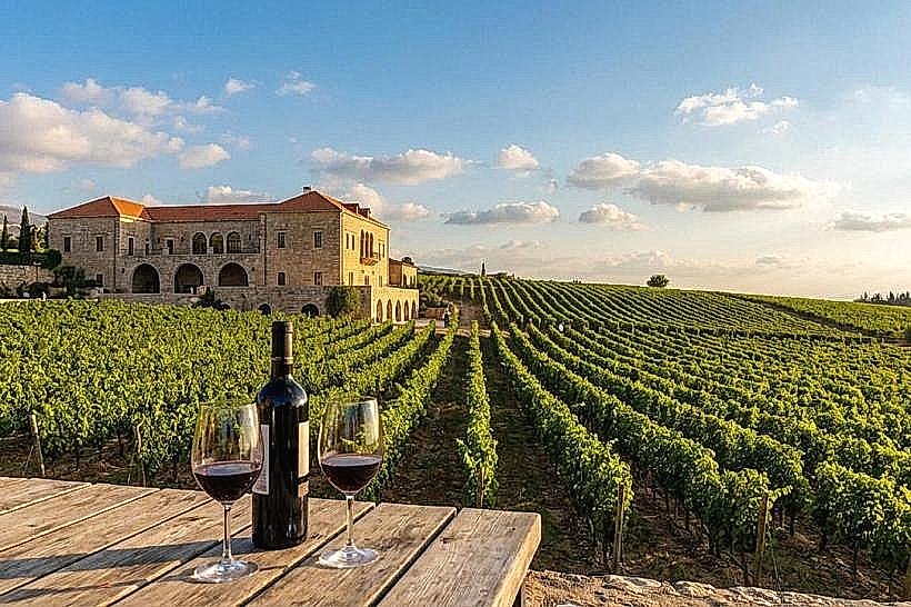
The main entrance point includes an eco-information kiosk managed by local conservation guides, where a nominal environmental entry fee is collected. A primitive network of unpaved, flat dirt footpaths and small wooden footbridges spans the wet areas. Shading is sparse across the open reedbeds but available along peripheral avenues of poplar and willow trees. Cellular network coverage (4G) is functional across the flat terrain. Traditional dining options are located nearby at Tawlet Ammiq, an eco-restaurant promoting local rural gastronomy situated on the hillside overlooking the marsh.
Best Time to Visit
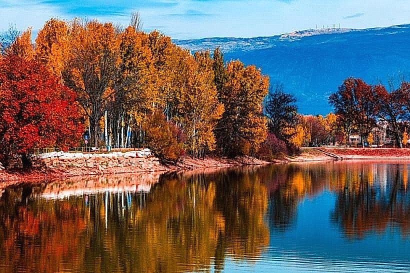
The optimal periods for visitation and birdwatching are during the peak spring migration (March to May) and autumn migration (September to November), when bird numbers and water levels are at their maximum. Early morning hours (06:00 to 09:00) provide the highest bird activity and the best directional lighting for wildlife photography. The mid-summer months (July and August) present dry, hot valley conditions with reduced open water surfaces, while winter brings localized waterlogging and heavy rains that can make the dirt paths muddy.
Facts & Legends
A verified ecological fact is that water buffaloes (Bubalus bubalis) were intentionally reintroduced to the marsh by conservation organizations to act as organic lawnmowers; their selective grazing patterns prevent the aggressive reed population from entirely choking out the open water pools, ensuring a balanced ecosystem for fish and migratory fowl. Local oral histories state that the thick, impenetrable reedbeds served as an effective historical hideout for regional resistance fighters evading Ottoman and French military patrols due to the treacherous, marshy ground that horses and heavy vehicles could not penetrate.
Nearby Landmarks
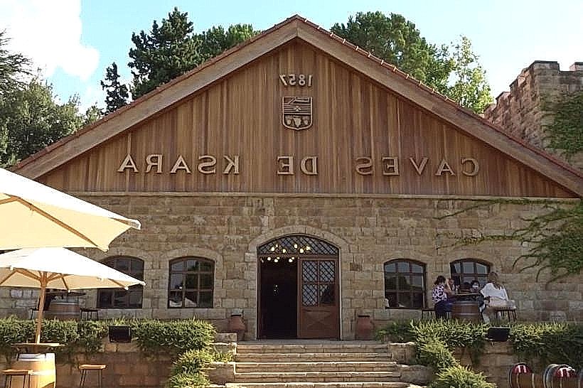
Chateau Kefraya: 9.5km South
Taanayel Lake and Farm: 11.5km Northeast
Al-Shouf Cedar Nature Reserve (Barouk Entrance): 6.0km West (via steep mountain paths)
Chateau St Thomas: 8.2km North
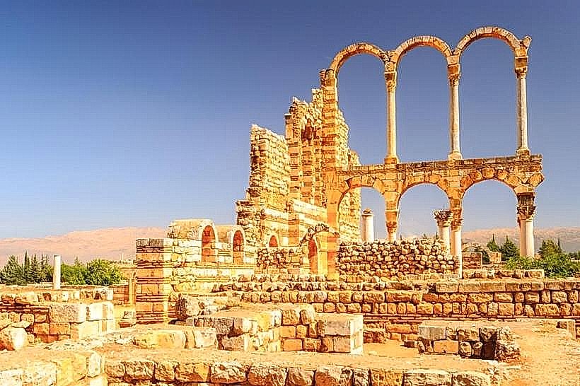
Roman Ruins of Anjar: 24.0km Northeast