Landmark: Arthur Ravenel Jr. Bridge
City: Charleston
Country: USA South Carolina
Continent: North America
Arthur Ravenel Jr. Bridge, Charleston, USA South Carolina, North America
The Arthur Ravenel Jr. Bridge is a cable-stayed bridge spanning the Cooper River in Charleston, South Carolina, connecting the city of Charleston with Mount Pleasant.
Visual Characteristics
This bridge features two diamond-shaped towers, each reaching 575 feet (175 meters) above the water. The main span is 1,250 feet (381 meters) long. The deck is constructed from concrete and steel, painted a light gray color. The cable-stayed design utilizes 128 cables arranged in a fan pattern, supporting the roadway.
Location & Access Logistics
The bridge is accessible via US-17. From downtown Charleston, take US-17 North. From Mount Pleasant, take US-17 South. The bridge is approximately 1 mile (1.6 km) from the Charleston city center. Ample parking is available on both the Charleston and Mount Pleasant sides. On the Charleston side, parking is located at the base of the bridge near East Bay Street. On the Mount Pleasant side, parking is available at Memorial Waterfront Park. Public transport options are limited; the CARTA bus system does not directly serve the bridge, requiring a transfer to a local taxi or rideshare service for access from bus stops.
Historical & Ecological Origin
Construction began in 2001 and was completed in 2005, replacing the older Grace Memorial Bridge and John P. Grace Memorial Bridge. The bridge was designed by the engineering firm HNTB Corporation. Its primary purpose is to carry US-17 traffic and improve traffic flow across the Cooper River. The bridge's foundation piles were driven into the riverbed, which is composed of sedimentary rock and clay layers formed during the Pleistocene epoch.
Key Highlights & Activities
Pedestrians and cyclists can utilize the 12-foot wide shared-use path that runs along the south side of the bridge. This path offers views of Charleston Harbor and the Atlantic Ocean. Walking or cycling to the summit of the bridge provides panoramic vistas. Photography is a popular activity, particularly during sunrise and sunset.
Infrastructure & Amenities
Restrooms are available at Memorial Waterfront Park on the Mount Pleasant side. Shade is limited on the bridge itself, with some provided by the bridge structure at certain points. Cell phone signal (4G/5G) is generally strong across the bridge. Food vendors are not present on the bridge; however, numerous restaurants and cafes are located near the access points in both Charleston and Mount Pleasant.
Best Time to Visit
For photography, the hours around sunrise (approximately 6:00 AM - 7:30 AM EST) and sunset (approximately 5:00 PM - 6:30 PM EST) offer optimal lighting conditions. The best months for visiting are typically April through October, offering warmer weather. There are no tide-dependent restrictions for using the pedestrian path.
Facts & Legends
The Arthur Ravenel Jr. Bridge is one of the longest cable-stayed bridges in North America. A unique aspect of its construction involved the use of pre-cast concrete segments for the roadway deck, which were lifted into place by cranes. Local lore sometimes refers to the bridge as a "gateway" to the Lowcountry, symbolizing progress and connection.
Nearby Landmarks
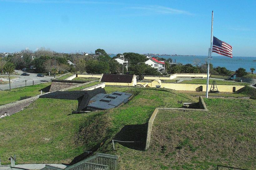
- Fort Sumter National Monument (2.5km South-East)
- South Carolina Aquarium (1.8km South-West)
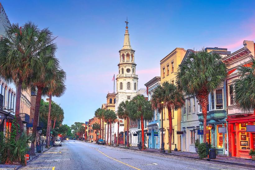
- Charleston City Market (2.0km South-West)
- Patriots Point Naval & Maritime Museum (1.2km North-East)
- Waterfront Park (2.2km South-West)