Landmark: Charleston Historic District
City: Charleston
Country: USA South Carolina
Continent: North America
Charleston Historic District, Charleston, USA South Carolina, North America
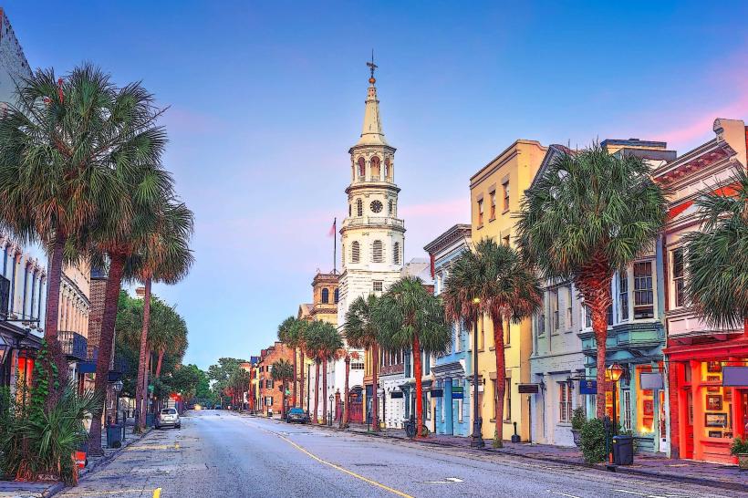
The Charleston Historic District is a designated area within Charleston, South Carolina, USA, preserving a significant collection of antebellum architecture and urban planning.
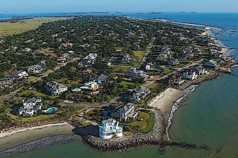
This district encompasses a substantial portion of the peninsula south of Calhoun Street, characterized by its preserved colonial and antebellum structures.
Visual Characteristics
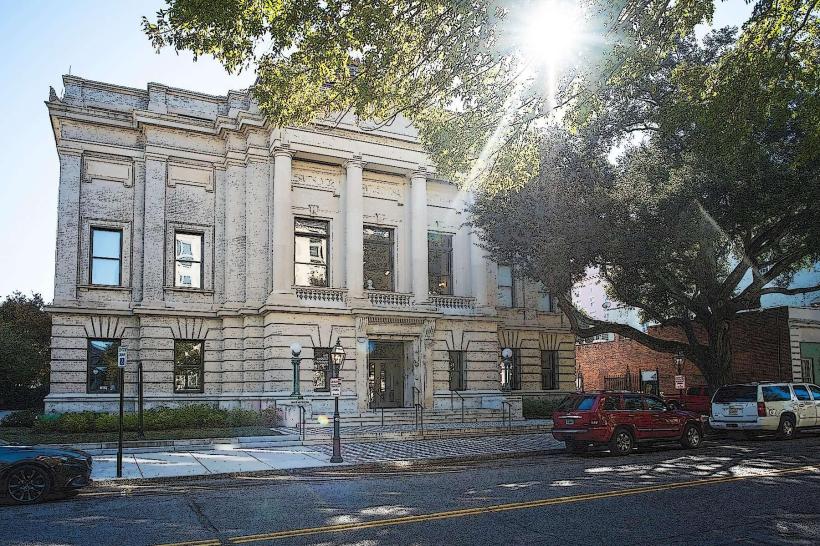
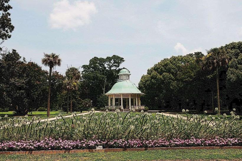
Structures are predominantly brick and wood, many painted in pastel hues or natural wood tones. Buildings range from two to four stories, featuring architectural styles such as Georgian, Federal, and Queen Anne. Ironwork balconies and gas street lamps are common features. Cobblestone streets and mature oak trees line many thoroughfares.
Location & Access Logistics
The district is located on the peninsula of Charleston, bordered by the Cooper River to the east and the Ashley River to the west. It extends south from Calhoun Street. Access is via US-17 (Arthur Ravenel Jr. Bridge from the north, Savannah Highway from the south). Parking is available in multi-level garages (e.g., Charleston County Parking Garage at 345 Meeting Street) and metered street parking, though it can be limited. Public transport includes CARTA bus lines, with routes serving the perimeter of the district.
Historical & Ecological Origin
Established in 1670 as Charles Towne, the district developed as a major port city. Its current architectural character largely reflects the period from the late 18th century through the mid-19th century, following significant fires and rebuilding efforts. The area's ecological origin is a coastal plain, with the city built on reclaimed land and natural marsh areas.
Key Highlights & Activities
Walking tours focusing on architecture and history are available. Carriage tours operate along specific routes. Visits to historic house museums (e.g., Nathaniel Russell House, Aiken-Rhett House) are possible. Exploring Rainbow Row for its distinct facade colors is a common activity. Waterfront Park offers views of the harbor.
Infrastructure & Amenities
Restrooms are available in public parks and within many house museums. Shade is provided by mature trees along streets and in parks. Cell phone signal (4G/5G) is generally strong throughout the district. Food vendors and restaurants are abundant within the district and on its periphery.
Best Time to Visit
For photography, early morning (7-9 AM) offers favorable light and fewer crowds. The best months for weather are April-May and September-October, with average temperatures between 65-80°F (18-27°C). Summer months (June-August) are hot and humid. Tidal considerations are relevant for waterfront areas, particularly during storms.
Facts & Legends
The Charleston City Market, located within the district, has been a central marketplace for over two centuries. A local legend suggests that the iron gates found on many historic homes were designed to ward off spirits, with specific patterns holding symbolic meaning.
Nearby Landmarks
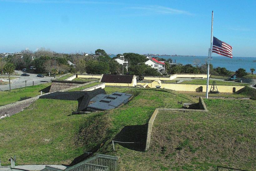
- Fort Sumter National Monument (2.5km East, across the harbor)
- South Carolina Aquarium (0.8km Northeast)
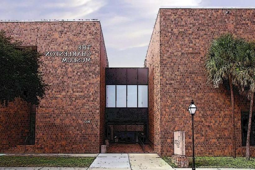
- Charleston Museum (0.6km Northwest)
- Old Slave Mart Museum (0.4km South)
- Gibbes Museum of Art (0.5km Northwest)