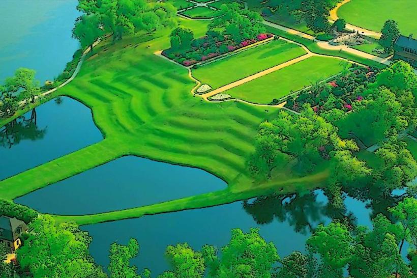
Landmark: Caw Caw Interpretive Center
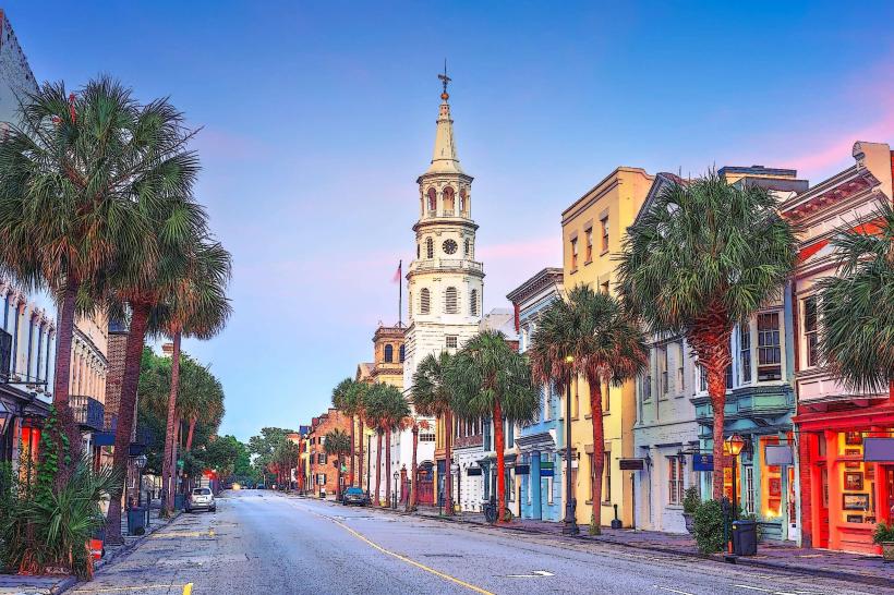
City: Charleston
Country: USA South Carolina
Continent: North America
Caw Caw Interpretive Center, Charleston, USA South Carolina, North America
The Caw Caw Interpretive Center is a protected natural area located in Charleston, South Carolina, USA.
This site preserves a portion of the Lowcountry's natural and cultural history, focusing on the former rice plantation landscape.
Visual Characteristics
The landscape consists of approximately 654 acres of managed wetlands, tidal creeks, and maritime forest. Dominant vegetation includes cypress, oak, and pine trees, with dense undergrowth in forested areas. Open water areas are characterized by dark, tannin-stained water typical of coastal South Carolina. The terrain is largely flat with a network of dikes and canals.
Location & Access Logistics
The Caw Caw Interpretive Center is situated at 737 Old Charleston Road, Ravenel, SC 29470. It is approximately 25 miles (40 km) south of downtown Charleston. Access is via US-17 South, turning onto SC-165 West (Bohicket Road), then onto Old Charleston Road. Parking is available on-site in a designated gravel lot. Public transport is not available to this location.
Historical & Ecological Origin
The land was historically part of the Caw Caw Plantation, established in the 18th century for rice cultivation. The plantation utilized a complex system of dikes and canals to manage tidal flow for agriculture. The area's ecological origin is coastal plain, shaped by estuarine processes and historical land management practices. The site was acquired by Charleston County Parks and Recreation Commission to preserve its historical and natural significance.
Key Highlights & Activities
Activities include walking the 2.5-mile interpretive trail that winds through various habitats. Birdwatching is a primary activity, with opportunities to observe wading birds, waterfowl, and migratory species. Photography of the landscape and wildlife is permitted. Educational programs are offered seasonally.
Infrastructure & Amenities
A small interpretive center building provides restrooms and limited exhibit space. There are picnic tables available. Shade is provided by the tree canopy along the trails. Cell phone signal (4G/5G) is intermittent to non-existent within the park boundaries. No food vendors are present on-site; visitors should bring their own provisions.
Best Time to Visit
The best time for birdwatching is during the spring and fall migration periods, typically March-May and September-November. Early morning and late afternoon offer optimal lighting for photography. Tidal conditions do not significantly impact access to the main trails, but can affect water levels in some peripheral areas.
Facts & Legends
The dikes and canals were engineered to harness the power of tides for flooding rice fields, a testament to the sophisticated agricultural technology of the era. Local folklore sometimes refers to the area as having a "presence" due to its deep history and isolated nature, though no specific documented legends are widely circulated.
Nearby Landmarks
- Magnolia Plantation and Gardens (15km Northwest)
- Middleton Place (18km Northwest)
- Drayton Hall (20km Northwest)
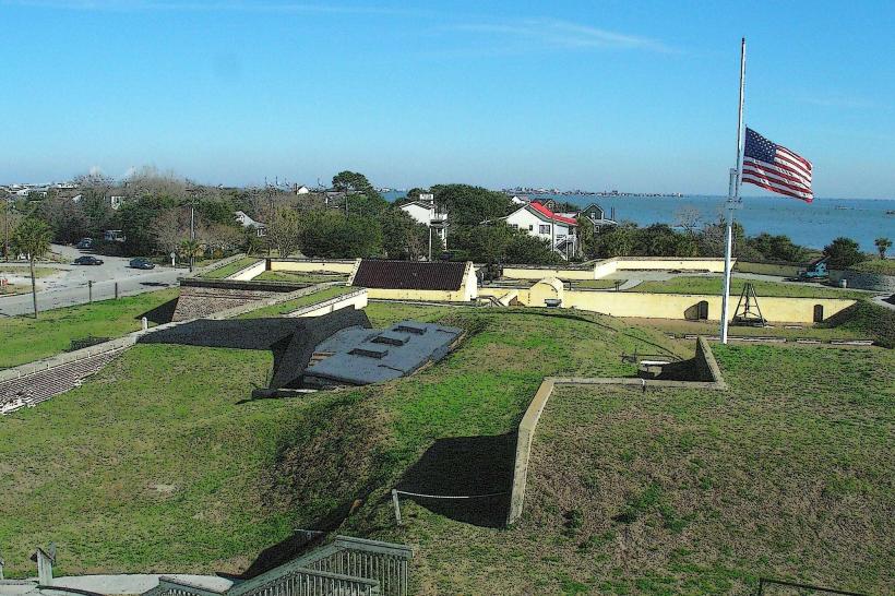
- Fort Sumter National Monument (via ferry from Charleston, 25km North)