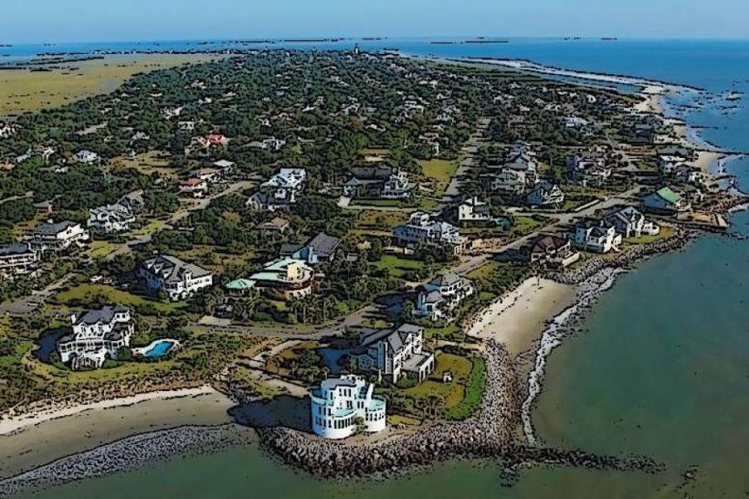
Landmark: Fort Moultrie
City: Charleston
Country: USA South Carolina
Continent: North America
Fort Moultrie, Charleston, USA South Carolina, North America
Fort Moultrie is a coastal fortification located on Sullivan's Island in Charleston, South Carolina, USA.
This historic fort served as a key defensive position for Charleston Harbor across multiple periods of American history.
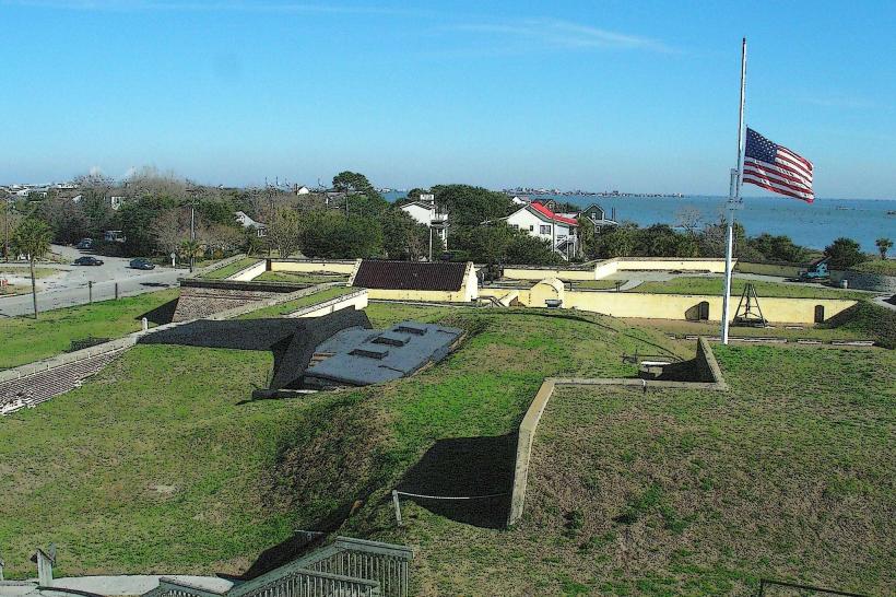
Visual Characteristics
The fort is constructed primarily from brick and earthworks. Its current configuration features a central brick structure with bastions and ramparts, surrounded by earthen berms. The exterior brickwork is weathered, showing signs of age and exposure to the elements. The overall structure is low-profile, designed to blend with the surrounding landscape and absorb cannon fire.
Location & Access Logistics
Fort Moultrie is situated at 1214 Middle Street, Sullivan's Island, SC 29482. It is approximately 10 miles (16 km) east of downtown Charleston. Access is via SC-703 (Middle Street). Ample parking is available on-site. Public transport options to Sullivan's Island are limited; the Charleston Area Regional Transportation Authority (CARTA) bus route 4 (to Sullivan's Island) stops within walking distance of the fort.
Historical & Ecological Origin
The original fort, constructed in 1776, was a palmetto log structure built by Colonel William Moultrie and his militia. Its purpose was to defend Charleston Harbor from British naval attack during the Revolutionary War. The current brick structure evolved over subsequent centuries, with significant modifications during the Civil War and into the early 20th century as part of the Endicott Period coastal defense system.
Key Highlights & Activities
Visitors can explore the various levels of the fort, including the powder magazine, officers' quarters, and gun emplacements. Ranger-led interpretive programs are offered daily. Self-guided tours are permitted. The site provides views of Charleston Harbor and Fort Sumter.
Infrastructure & Amenities
Restrooms are available on-site. Limited shade is provided by the fort's structure and some trees. Cell phone signal (4G/5G) is generally available. No food vendors are present within the fort; the nearest amenities are in the town of Sullivan's Island.
Best Time to Visit
For optimal lighting for photography, early morning or late afternoon is recommended. The best months for weather are typically April through June and September through October, avoiding the peak summer heat and humidity. No specific tide requirements affect access.
Facts & Legends
During the Revolutionary War Battle of Sullivan's Island in 1776, the fort's palmetto logs absorbed British cannonballs, leading to the palmetto tree becoming a symbol of South Carolina. A lesser-known fact is that the fort was continuously garrisoned by U.S. troops from 1798 until 1947, making it one of the longest-occupied military posts in the United States.
Nearby Landmarks
- Fort Sumter National Monument (Ferry departure point: 3.5km Southwest)
- Sullivan's Island Lighthouse (1.2km Northwest)
- Station 18 (Sullivan's Island Beach Access) (0.8km West)
- The Citadel (10.2km West)
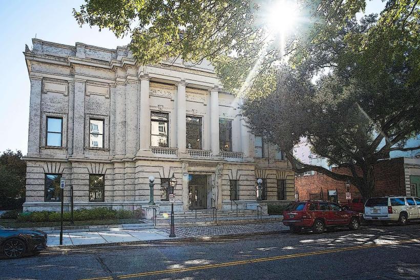
- Charleston City Market (10.5km West)