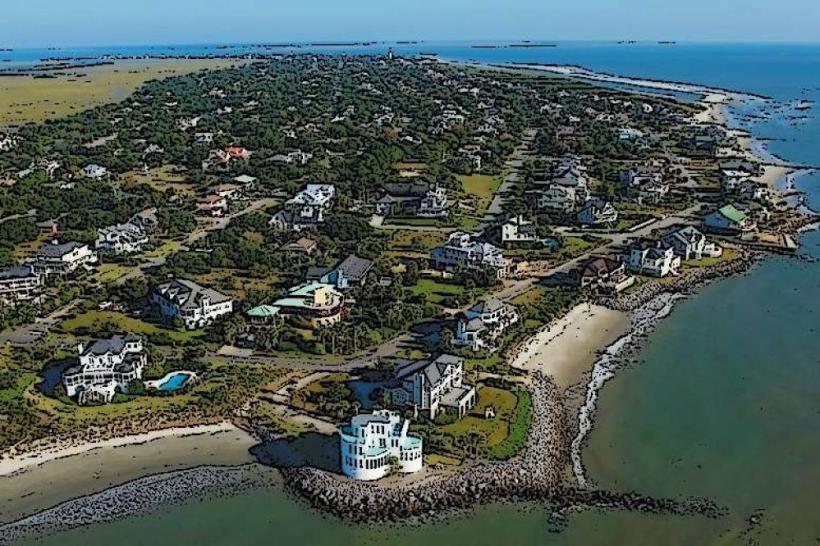
Landmark: Folly Beach
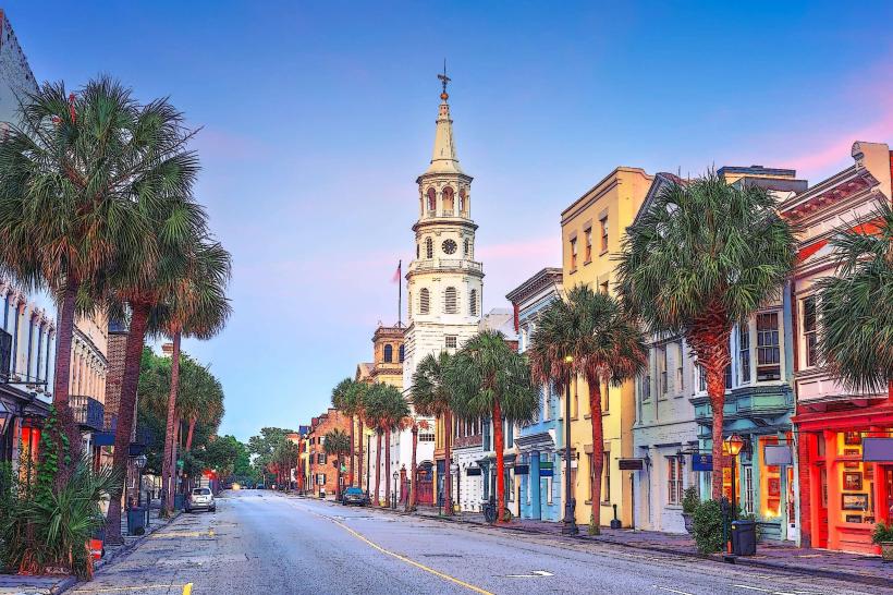
City: Charleston
Country: USA South Carolina
Continent: North America
Folly Beach, Charleston, USA South Carolina, North America
Folly Beach is a barrier island located south of Charleston, South Carolina, known for its public beach access and recreational opportunities.
The island stretches approximately 6 miles in length and is characterized by its wide, sandy shores and consistent surf.
Visual Characteristics
The beach consists of light-colored, fine-grained sand. The Atlantic Ocean waters are typically a greenish-blue hue, with moderate wave action. Dune systems, vegetated with sea oats and other salt-tolerant plants, run along the landward side of the beach. The island's developed areas feature a mix of single-family homes, rental properties, and commercial structures, primarily constructed from wood and vinyl siding, painted in various pastel and neutral colors.
Location & Access Logistics
Folly Beach is situated approximately 11 miles south of downtown Charleston. Access is primarily via Folly Road (SC Highway 171), which connects to US Highway 17. Parking is available in designated lots along the beach, with fees typically enforced during peak seasons. Several Charleston Area Regional Transportation Authority (CARTA) bus routes serve Folly Beach, including the 34 Beach Rider, providing public transport from downtown Charleston.
Historical & Ecological Origin
Folly Island, as it was historically known, was inhabited by Native American tribes prior to European settlement. During the Civil War, it served as a Union Army base and a contraband camp for formerly enslaved people. The island's current form is a result of natural coastal processes, including sand deposition and erosion, influenced by the Atlantic Ocean and Charleston Harbor.
Key Highlights & Activities
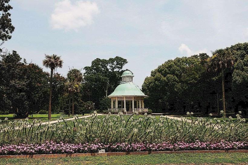
Activities include swimming, surfing, fishing from the pier, and beachcombing. Kayaking and paddleboarding are possible in the calmer waters of the Folly River estuary on the island's west side. Visitors can walk the length of the beach, observing local wildlife. The Edwin S. Taylor Fishing Pier offers a designated area for fishing and observation.
Infrastructure & Amenities
Restrooms are available at public access points and near the pier. Shade is limited to natural dune vegetation and structures. Cell phone signal (4G/5G) is generally available across the island. Food vendors and restaurants are concentrated in the central commercial district near the pier.
Best Time to Visit
For photography, early morning and late afternoon offer optimal lighting conditions due to lower sun angles. The best months for weather are typically April through October, with average high temperatures ranging from 70°F to 90°F. High tide can reduce the available beach width, while low tide exposes more sand for walking and shell collecting.
Facts & Legends
A local legend suggests the island's name, "Folly," originated from the Old English word "fole," meaning "low ground" or "marsh." Another account attributes the name to a ship called "The Folly" that ran aground offshore. The island was also a significant site during the Civil War, housing a large Union encampment.
Nearby Landmarks
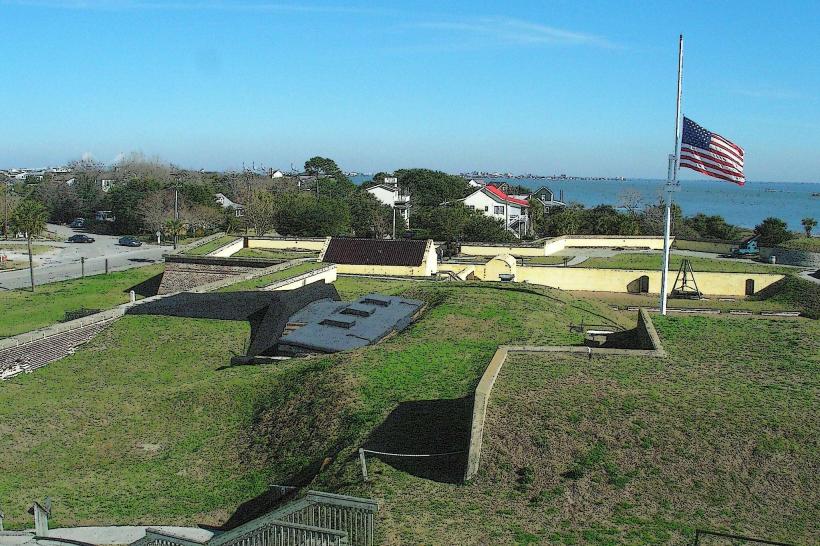
- Fort Sumter National Monument (6km Northeast, accessible by ferry from Charleston)
- Charleston City Market (11km Northwest)
- South Carolina Aquarium (10km Northwest)
- Fort Moultrie National Historical Park (8km Northeast)
- Angel Oak Tree (5km West)