Landmark: Artist’s Point
City: Mexican Hat
Country: USA Utah
Continent: North America
Artist’s Point, Mexican Hat, USA Utah, North America
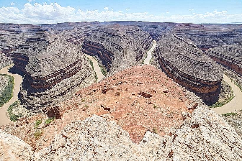
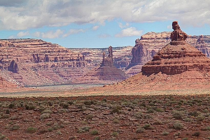
Artist's Point is a geological overlook located in San Juan County, Utah, USA, offering views of the San Juan River and surrounding rock formations.
Visual Characteristics
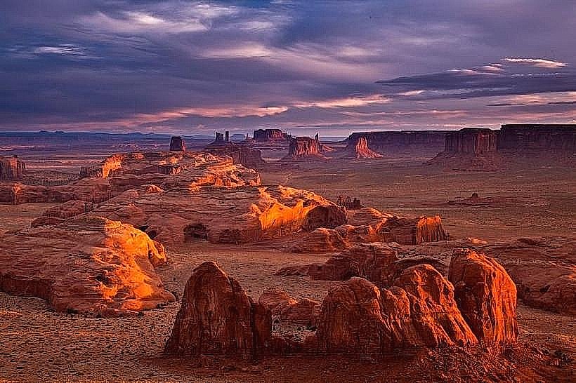
The overlook consists of a sandstone promontory. The rock is predominantly reddish-orange, characteristic of the Entrada Sandstone formation. The elevation provides a panoramic view of the San Juan River, which appears as a winding ribbon of brown water, and the sculpted desert landscape featuring mesas and canyons.
Location & Access Logistics
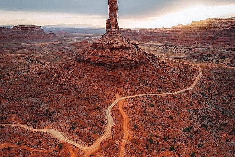
Artist's Point is situated approximately 10 miles west of Mexican Hat, Utah, along State Route 261. Access is directly from SR-261. A small, unpaved parking area is available at the overlook. No public transport services this location.
Historical & Ecological Origin
The rock formations at Artist's Point are part of the Colorado Plateau, primarily composed of Jurassic-era sedimentary rocks. The San Juan River has carved the canyon over millions of years through erosion. The name "Artist's Point" likely derives from the visual appeal of the landscape, attracting painters and photographers.
Key Highlights & Activities
Observation of the San Juan River's meanders. Photography of the desert landscape. Short walks on established, unpaved paths near the overlook.
Infrastructure & Amenities
There are no facilities at Artist's Point. Restrooms, food vendors, and cell phone service are not available at the overlook. Visitors should carry water and be prepared for desert conditions.
Best Time to Visit
For optimal lighting conditions for photography, early morning or late afternoon is recommended, when the sun casts long shadows and highlights the rock colors. The months of April, May, September, and October generally offer the most temperate weather, avoiding extreme summer heat and winter cold.
Facts & Legends
The area is known for its geological significance, showcasing cross-bedding patterns in the sandstone, evidence of ancient sand dunes. The San Juan River in this section is known for its challenging whitewater rapids, particularly during spring runoff.
Nearby Landmarks
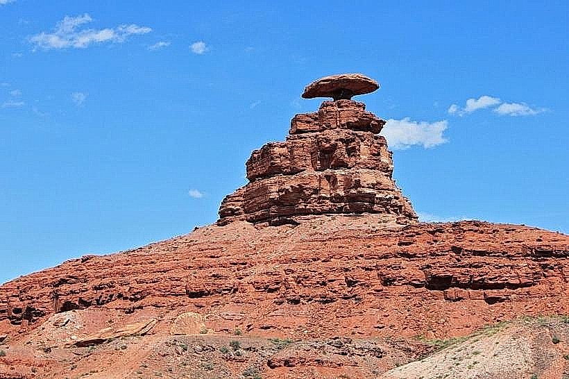
- Mexican Hat Rock (0.5km East)
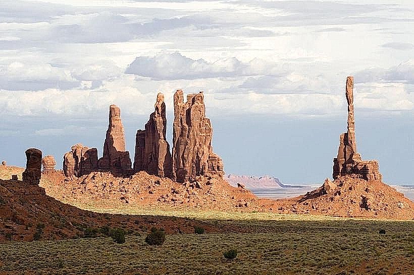
- Valley of the Gods (8km West)
- Goosenecks State Park (15km Southwest)
- Moki Dugway (10km West)