Landmark: Mystery Valley
City: Mexican Hat
Country: USA Utah
Continent: North America
Mystery Valley, Mexican Hat, USA Utah, North America
Mystery Valley is a geological area located in San Juan County, Utah, near the town of Mexican Hat.
It is characterized by a series of sandstone formations and canyons.
Visual Characteristics
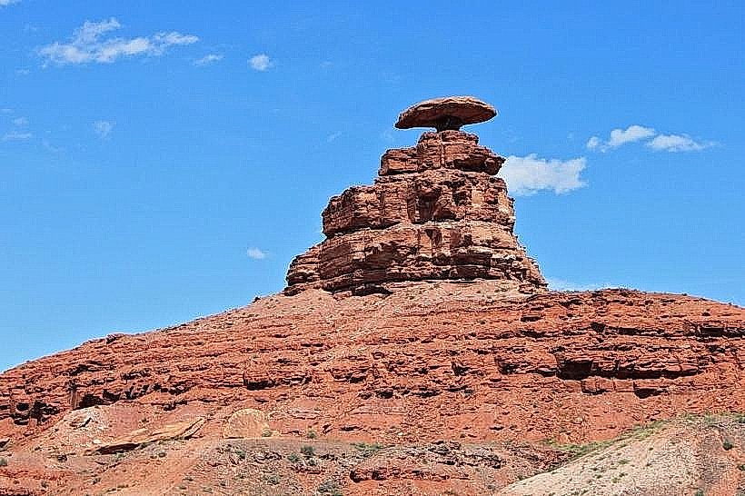
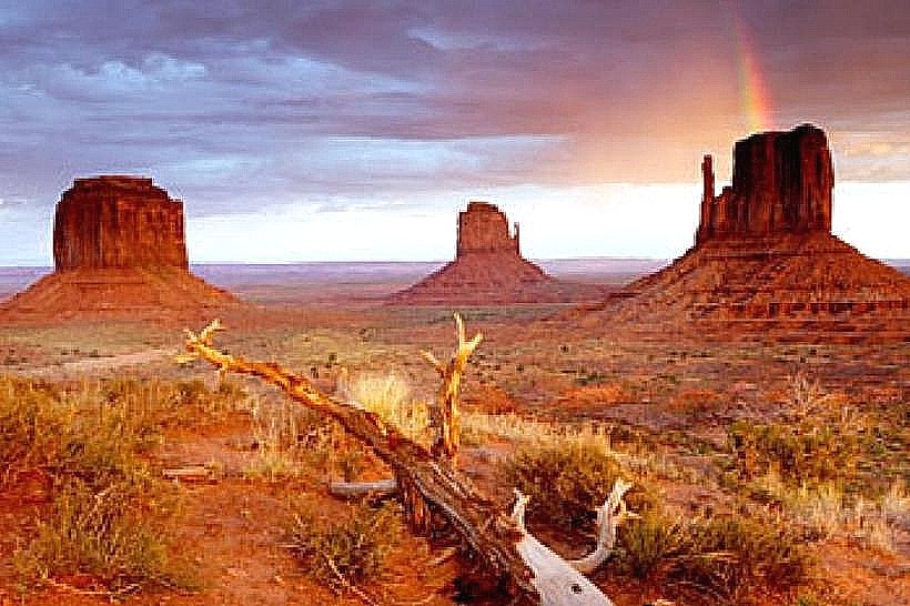
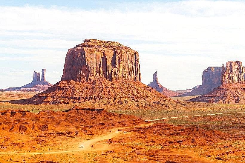
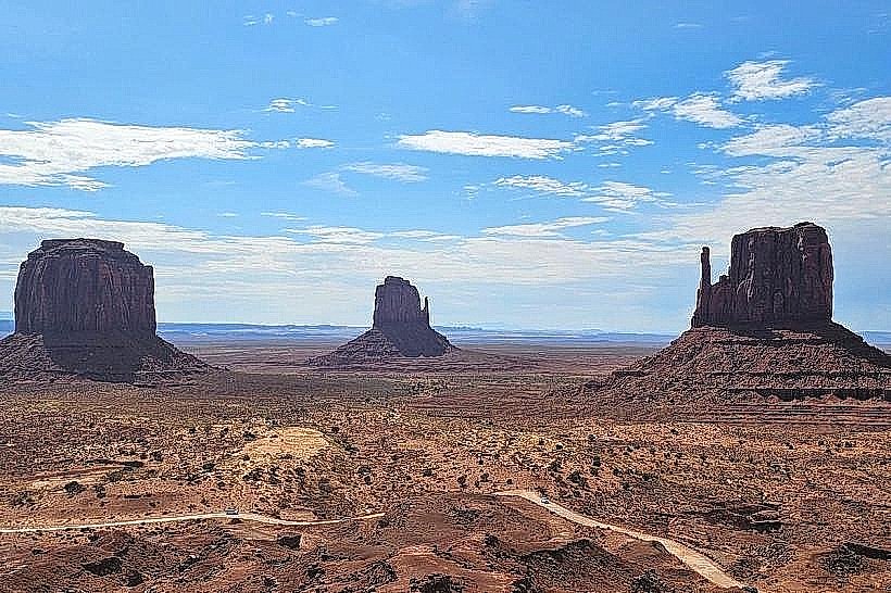
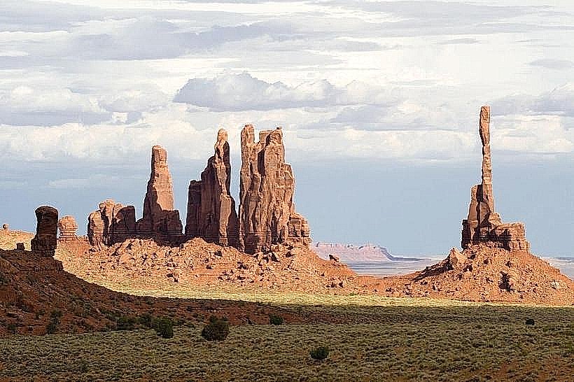
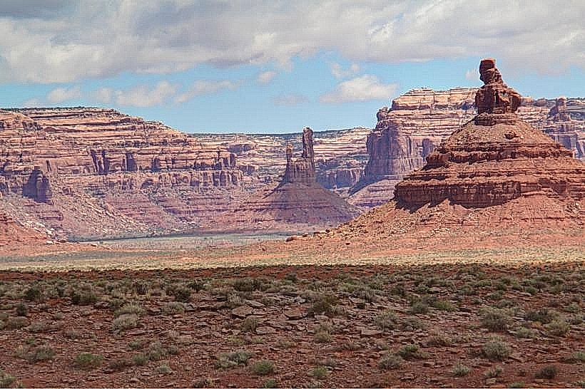
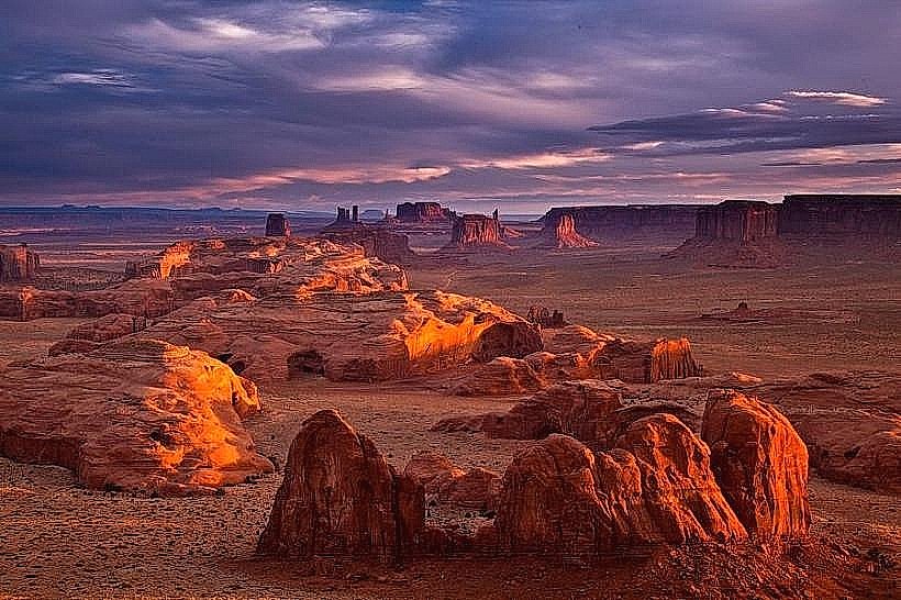
The valley features prominent sandstone fins, hoodoos, and natural arches. Rock colors range from deep red to orange and tan, varying with sunlight exposure. Vegetation is sparse, consisting primarily of desert scrub, juniper, and pinyon pine.
Location & Access Logistics
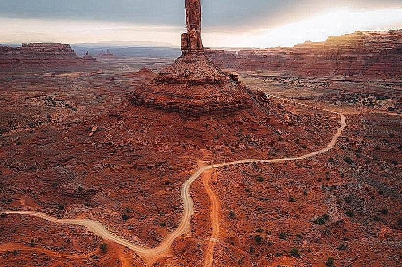
Mystery Valley is situated approximately 15 miles southwest of Mexican Hat, Utah. Access is via State Route 261. A significant portion of the access route within the valley is unpaved and can be rough, requiring a high-clearance vehicle, preferably 4WD. No public transport services Mystery Valley directly. Parking is informal and available at trailheads or points of interest.
Historical & Ecological Origin
The sandstone formations are primarily Navajo Sandstone, deposited during the Jurassic period. Over millions of years, erosion by wind and water has sculpted these formations into their current shapes. The area is part of the Colorado Plateau's geological province.
Key Highlights & Activities
Activities include hiking to view natural arches such as the "Valley of the Gods Arch" and exploring slot canyons. Photography of the rock formations is a primary activity. Off-road driving on designated routes is also possible for those with appropriate vehicles.
Infrastructure & Amenities
There are no developed facilities within Mystery Valley. Restrooms, potable water, and food vendors are not available. Cell phone signal is unreliable to non-existent throughout most of the valley. Shade is limited to natural overhangs and the base of large formations.
Best Time to Visit
The best time for visiting is during spring (April-May) and fall (September-October) to avoid extreme summer heat and winter cold. Mid-morning and late afternoon offer optimal lighting for photography due to the angle of the sun on the sandstone.
Facts & Legends
Mystery Valley is often confused with the nearby Valley of the Gods, which is a separate but visually similar area. A specific tip for visitors is to carry ample water, as the desert environment is arid and dehydration is a risk.
Nearby Landmarks
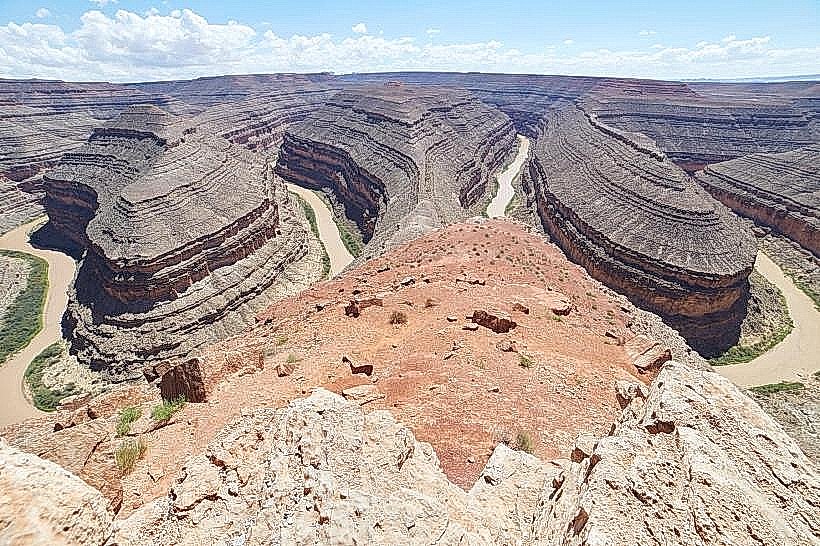
- Valley of the Gods (1.5km Northwest)
- Goosenecks State Park (12km Northeast)
- Moki Dugway (10km Southwest)
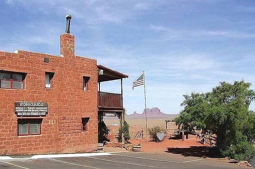
- Monument Valley Navajo Tribal Park (45km Southwest)