Landmark: Valley Drive Loop
City: Mexican Hat
Country: USA Utah
Continent: North America
Valley Drive Loop, Mexican Hat, USA Utah, North America
The Valley Drive Loop is a 17-mile scenic drive located in Mexican Hat, Utah, USA. It provides access to geological formations within the surrounding desert landscape.
Visual Characteristics
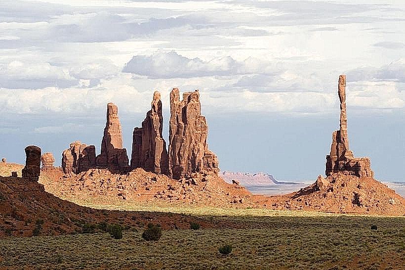
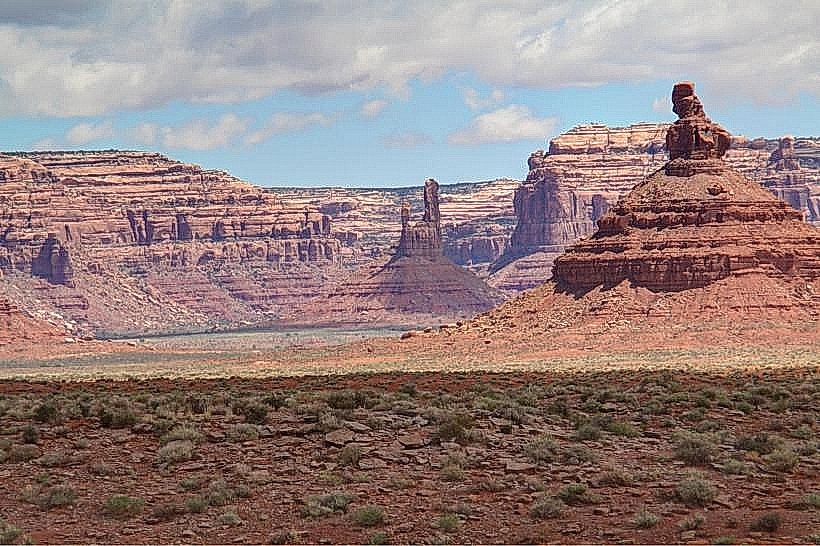
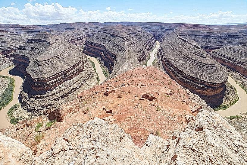
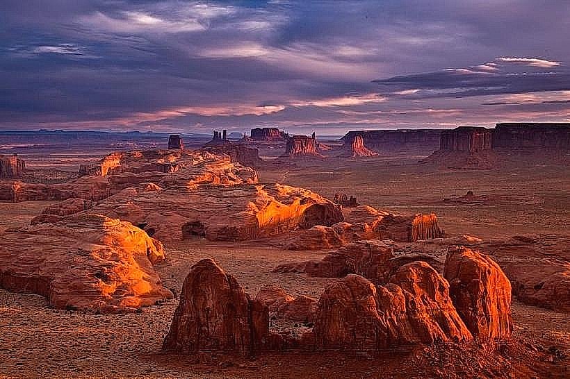
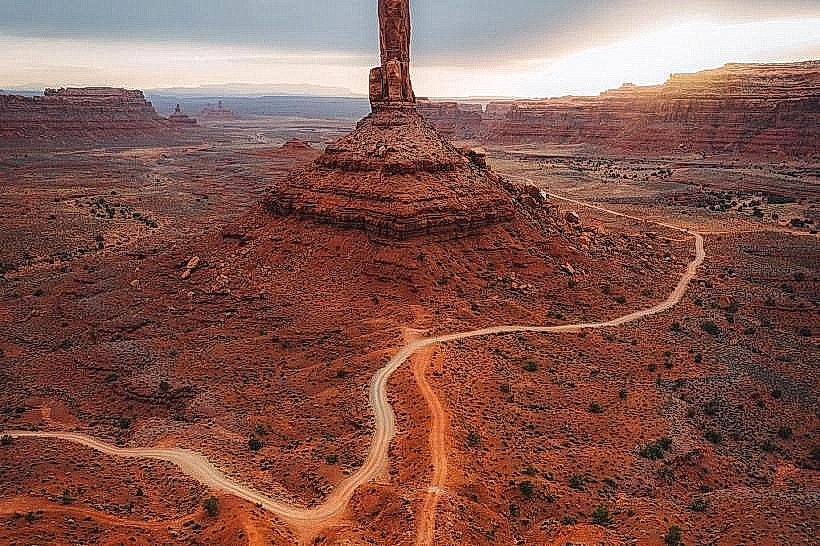
The drive traverses a high desert environment characterized by exposed sandstone formations. Colors range from deep red to pale orange and tan, with varying geological strata visible. The terrain is arid, with sparse desert vegetation including sagebrush and juniper trees. Rock formations include hoodoos, fins, and eroded mesas.
Location & Access Logistics
The Valley Drive Loop begins approximately 1 mile west of Mexican Hat, Utah, off U.S. Route 163. The entrance is marked by a sign. The loop is unpaved and consists of dirt and gravel roads. It is accessible by passenger vehicles, though high-clearance vehicles are recommended, especially after rain. Parking is available at designated pull-offs along the route. No public transport services this area.
Historical & Ecological Origin
The geological formations visible along the Valley Drive Loop are primarily composed of sedimentary rock, including the Honaker Trail Formation and the Cedar Mesa Sandstone, dating back to the Pennsylvanian and Permian periods. These formations were shaped by millions of years of erosion from wind and water. The area is part of the Colorado Plateau's desert ecosystem.
Key Highlights & Activities
Driving the loop allows for observation of various rock formations. Designated pull-offs permit stopping for photography and short walks. Specific points of interest include formations resembling natural arches and balanced rocks. No organized tours operate on the loop.
Infrastructure & Amenities
There are no restrooms, shade structures, or food vendors directly on the Valley Drive Loop. Cell phone signal is intermittent to non-existent. Visitors should carry sufficient water and supplies.
Best Time to Visit
The best time for photography is during the early morning or late afternoon when the low-angle sun accentuates the colors and textures of the rock formations. Spring (April-May) and Fall (September-October) offer the most moderate temperatures. Summer months can experience extreme heat. The road conditions can be affected by precipitation; avoid driving after heavy rain.
Facts & Legends
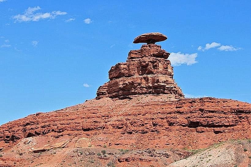
The distinctive rock formation known as "Mexican Hat," which gives the nearby town its name, is visible from U.S. Route 163 and is a prominent landmark in the vicinity of the loop's start. Local Paiute legends speak of the spirits residing within the rock formations.
Nearby Landmarks
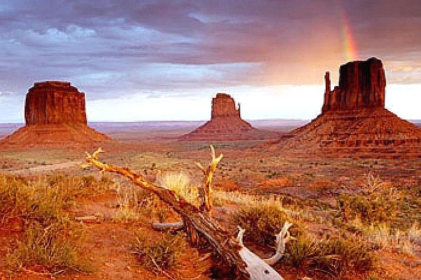
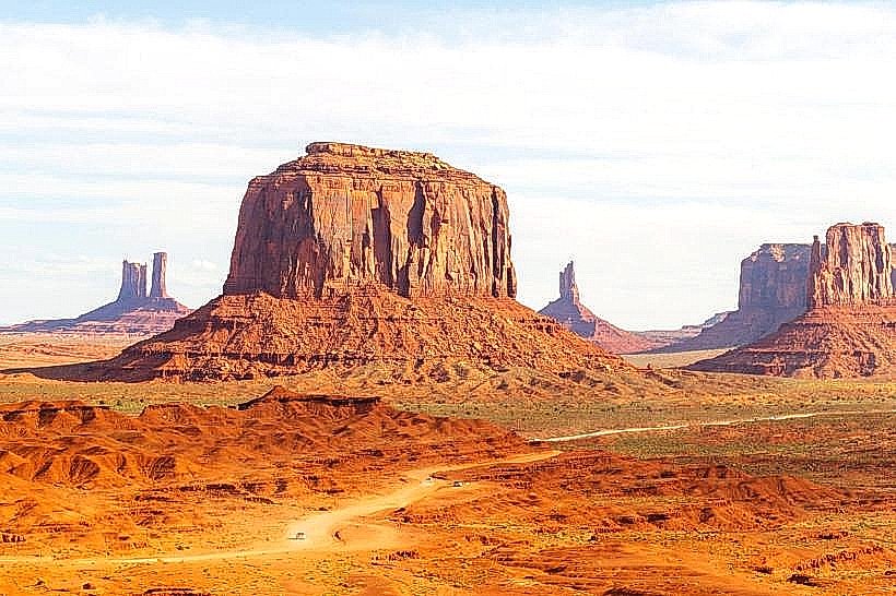
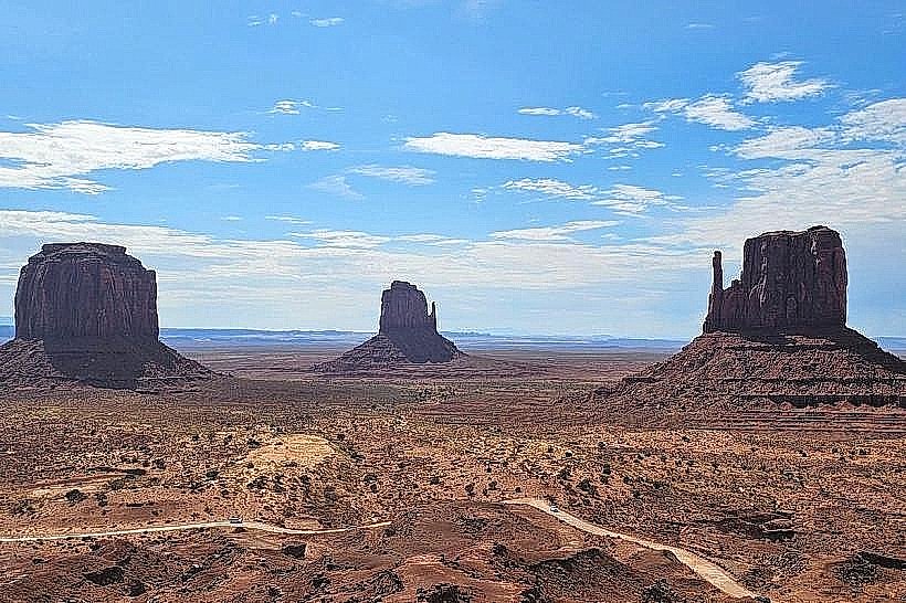
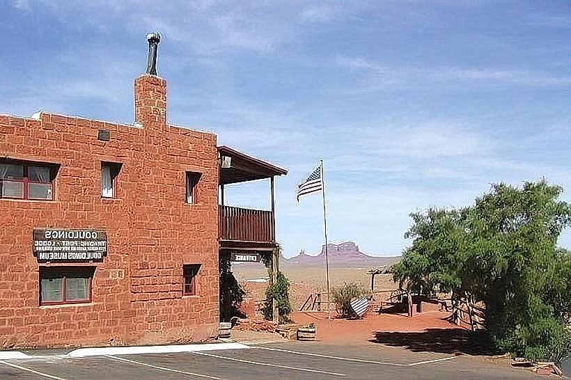
- Monument Valley Navajo Tribal Park (16km Northeast)
- Goosenecks State Park (5km Southwest)
- Valley of the Gods (1km West)
- Moki Dugway (12km Southwest)