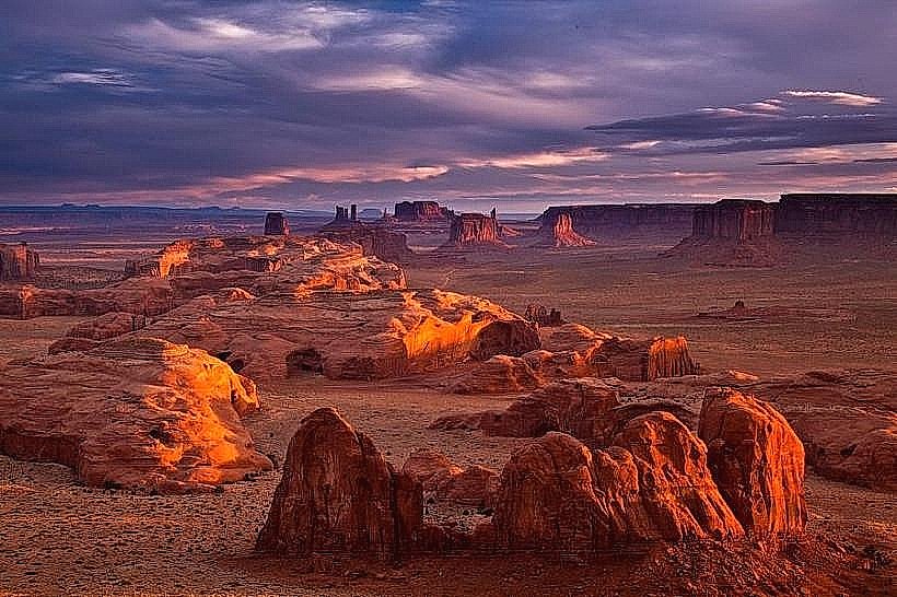
Landmark: Monument Valley
City: Mexican Hat
Country: USA Utah
Continent: North America
Monument Valley, Mexican Hat, USA Utah, North America
Monument Valley is a region of the Colorado Plateau characterized by a cluster of sandstone buttes, situated on the Arizona-Utah border near Mexican Hat, Utah.
The area is managed by the Navajo Nation Parks & Recreation Department.
Visual Characteristics
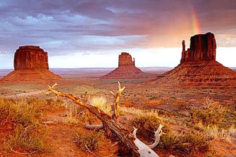
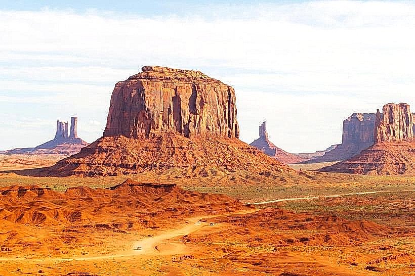
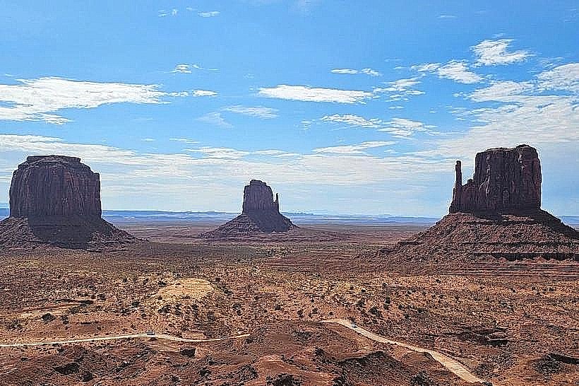
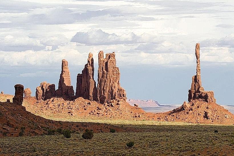
The landscape features prominent sandstone formations, known as buttes and mesas, rising vertically from the flat desert floor. These formations exhibit distinct horizontal layering of rock strata, with colors ranging from deep red and orange to brown and tan. The tallest buttes, such as The Mittens and Merrick Butte, reach elevations of approximately 1,000 feet (300 meters) above the valley floor. Sparse desert vegetation, primarily consisting of sagebrush and juniper trees, dots the landscape.
Location & Access Logistics
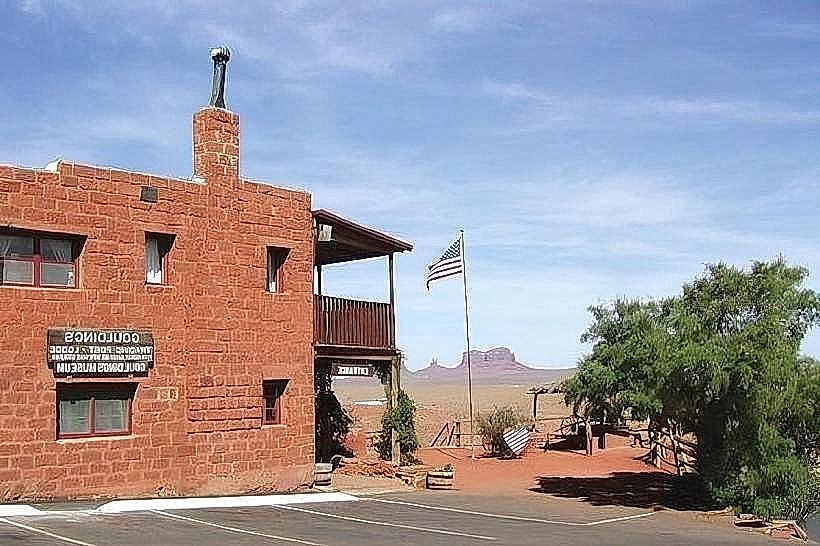
Monument Valley is located approximately 24 miles (39 km) north of the Arizona-Utah border along U.S. Route 163. The primary access point is via U.S. Route 163, which passes through the heart of the valley. The nearest town with significant services is Kayenta, Arizona, located about 30 miles (48 km) south. Mexican Hat, Utah, is located about 17 miles (27 km) north. Parking is available at the Visitor Center. No public transport directly serves the valley; private vehicles are required.
Historical & Ecological Origin
The buttes of Monument Valley are geological formations resulting from erosion over millions of years. The sedimentary rock layers were deposited during the Pennsylvanian and Permian periods. Subsequent uplift of the Colorado Plateau and erosion by wind and water carved these distinctive shapes. The area has been inhabited by the Navajo people for centuries, with the Navajo Nation officially managing the park since 1958.
Key Highlights & Activities
Visitors can drive the 17-mile (27 km) Valley Drive, a unpaved loop road that accesses many of the iconic buttes. Guided tours, offered by Navajo guides, are available for those wishing to explore off-road areas or learn more about Navajo culture. Photography is a primary activity, particularly during sunrise and sunset when the light accentuates the formations. Hiking is permitted on designated trails, such as the Wildcat Trail.
Infrastructure & Amenities
The Monument Valley Visitor Center provides restrooms, a gift shop, and a restaurant. Limited shade is available at the Visitor Center and designated pull-offs along the Valley Drive. Cell phone signal is intermittent and generally unreliable within the valley. Food vendors are present at the Visitor Center and in nearby towns.
Best Time to Visit
The best time for photography is during sunrise and sunset due to the quality of light. The months of April to May and September to October offer moderate temperatures. Summer months (June-August) can experience high temperatures exceeding 100°F (38°C). Winter months (December-February) can be cold with potential for snow.
Facts & Legends
The iconic view of the Mittens buttes framed by U.S. Route 163 is often referred to as "The John Ford Point" due to its frequent appearance in Western films directed by John Ford. A specific tip for visitors is to be aware of the unpaved nature of the Valley Drive; high-clearance vehicles are recommended, and driving slowly is advised.
Nearby Landmarks
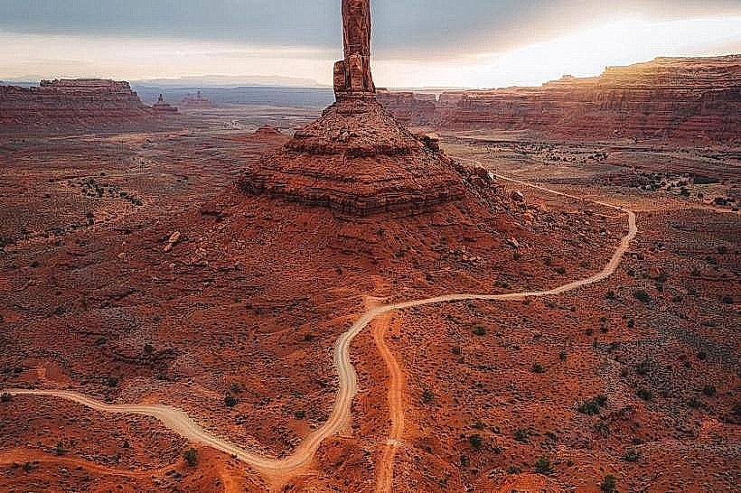
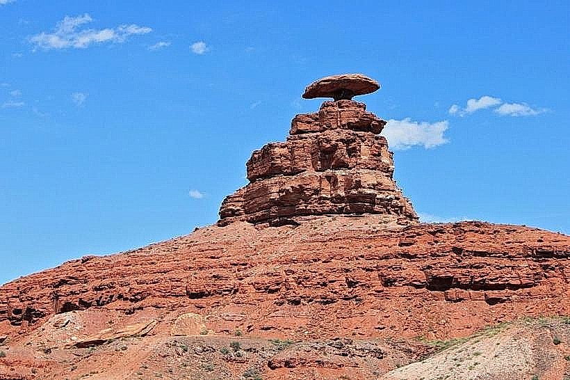
- Mexican Hat Rock (17km North)
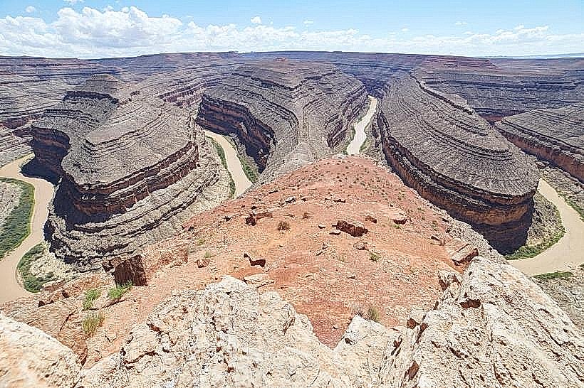
- Goosenecks State Park (23km Northwest)
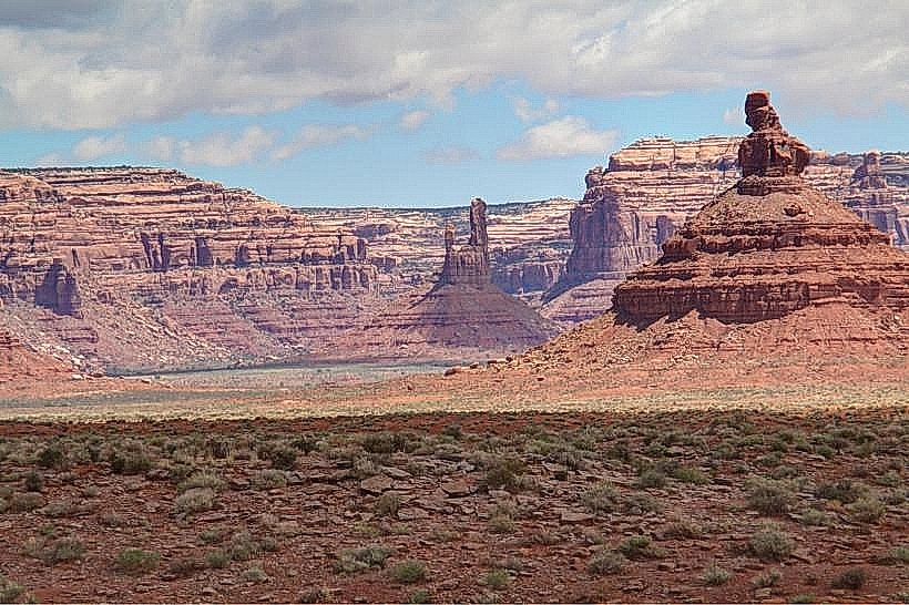
- Valley of the Gods (25km Northwest)
- Bluff Fort Historic Site (30km Northwest)
- Kayenta (30km South)