Landmark: Hunts Mesa
City: Mexican Hat
Country: USA Utah
Continent: North America
Hunts Mesa, Mexican Hat, USA Utah, North America
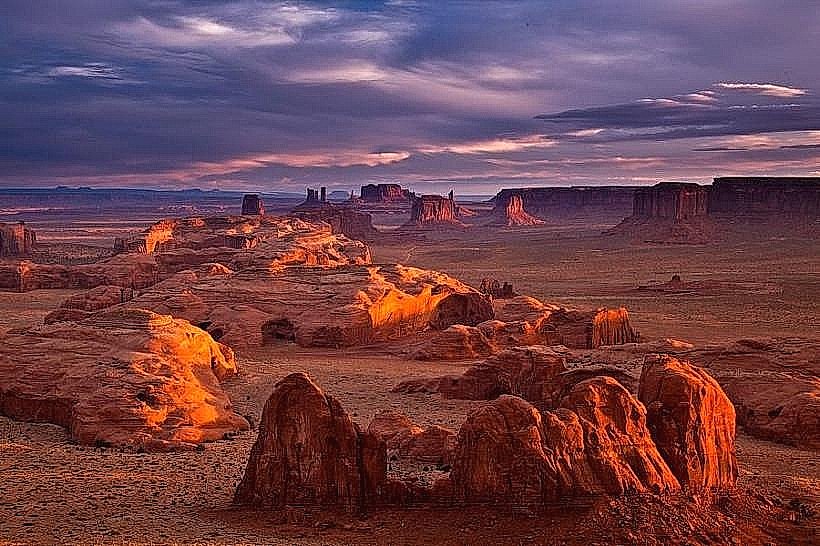
Hunts Mesa is a prominent geological formation located in the vicinity of Mexican Hat, Utah. It is a large, flat-topped mesa characterized by its distinct geological layers.
Visual Characteristics
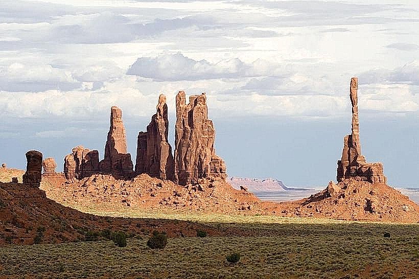
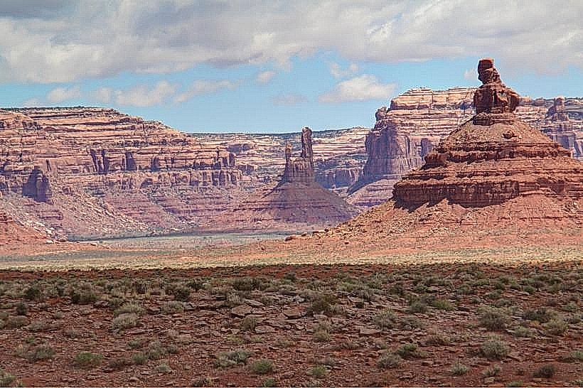
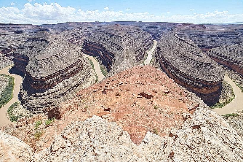
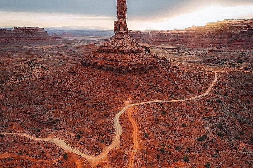
The mesa exhibits layered sandstone formations, primarily in shades of red, orange, and tan. Its summit is relatively flat, with steep, eroded cliff faces descending to the surrounding desert floor. Vegetation is sparse, consisting mainly of desert shrubs and grasses.
Location & Access Logistics
Hunts Mesa is situated approximately 15 miles southwest of Mexican Hat, Utah. Access requires a high-clearance, 4x4 vehicle. The primary access route is via a dirt road originating from State Route 261. This road is unpaved and can be rough, particularly after precipitation. Parking is available at designated pull-offs near the base of the mesa, but no formal parking lots exist. Public transport is not available to this location.
Historical & Ecological Origin
Hunts Mesa is composed of sedimentary rock layers, primarily the Cedar Mesa Sandstone, which formed during the Pennsylvanian period. These layers were deposited by ancient rivers and seas. The mesa's current form is the result of millions of years of erosion by wind and water, carving out the surrounding canyons and leaving the elevated plateau.
Key Highlights & Activities
Hiking to the summit of Hunts Mesa offers panoramic views of the surrounding Monument Valley and Goosenecks State Park. Photography is a primary activity due to the unique geological formations and expansive vistas. Due to the remote nature and lack of facilities, visitors should be prepared for self-sufficiency.
Infrastructure & Amenities
There are no developed infrastructure or amenities at Hunts Mesa. Restrooms, shade structures, and food vendors are not present. Cell phone signal is unreliable and generally absent in the immediate vicinity of the mesa.
Best Time to Visit
The best time for photography is during the early morning or late afternoon when the low-angle sunlight accentuates the colors and textures of the rock formations. The months of April, May, September, and October offer the most favorable weather conditions, with moderate temperatures. Summer months can be extremely hot.
Facts & Legends
Hunts Mesa is a significant site for the Navajo Nation, with cultural and historical importance. Local tradition suggests that the mesa was a refuge and a place of spiritual significance. A specific tip for visitors is to carry ample water, as the desert environment is arid and water sources are non-existent.
Nearby Landmarks
- Goosenecks State Park (3.5km Northeast)
- Valley of the Gods (8km Southwest)
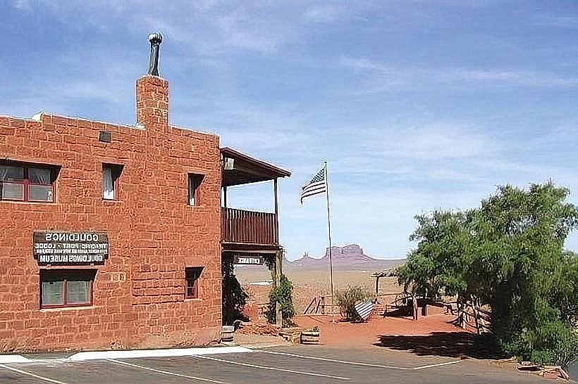
- Monument Valley Navajo Tribal Park (25km West)
- Moki Dugway (10km Northeast)