Landmark: Auto Toll Road
City: Stowe
Country: USA Vermont
Continent: North America
Auto Toll Road, Stowe, USA Vermont, North America
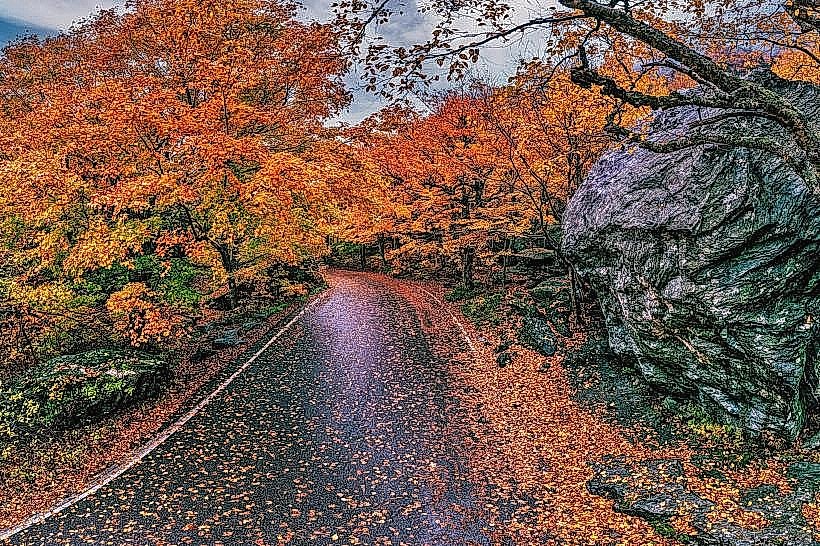
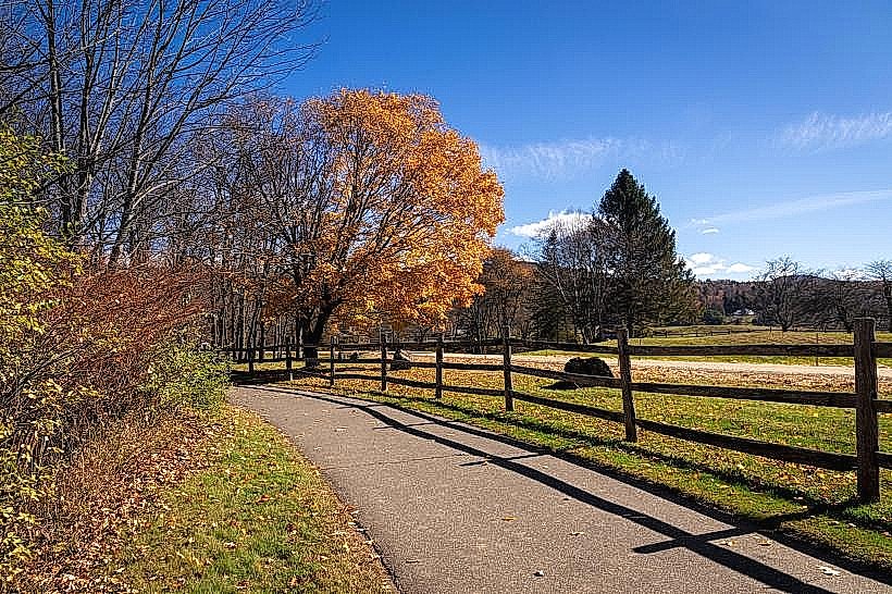
The Auto Toll Road is a paved, 10.7-mile (17.2 km) scenic highway located in Stowe, Vermont. It provides access to the summit of Mount Mansfield, the state's highest peak.
Visual Characteristics
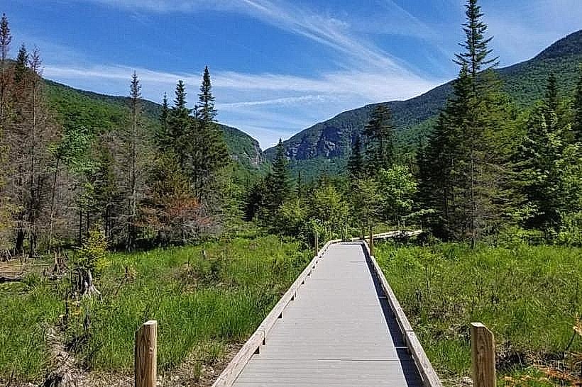
The road is a two-lane asphalt surface with guardrails along its edges. It ascends Mount Mansfield, traversing dense coniferous and deciduous forests. The summit area features exposed granite rock formations and alpine vegetation. Road width varies, narrowing significantly in certain sections.
Location & Access Logistics
The entrance to the Auto Toll Road is located off Route 108 in Stowe, Vermont. It is approximately 10 miles (16 km) north of Stowe village. The road is accessible by private vehicle. Parking is available at the summit parking area, which has a capacity of approximately 50 vehicles. During peak season, overflow parking may be utilized at lower lots with shuttle service. Public transportation is not available directly to the road's entrance or summit.
Historical & Ecological Origin
Construction of the Auto Toll Road began in 1937 and was completed in 1940. It was built by the state of Vermont as a project to promote tourism and provide access to the mountain's summit. The road traverses a temperate deciduous and coniferous forest ecosystem, with alpine tundra characteristics at higher elevations.
Key Highlights & Activities
Driving the road offers multiple pull-offs for observation. Hiking trails are accessible from the summit parking area, including the Long Trail and the Forehead Trail. Visitors can walk to the summit of Mount Mansfield. Photography opportunities are available at designated viewpoints.
Infrastructure & Amenities
Restrooms are available at the summit parking area. Limited shade is present at the summit due to the alpine environment. Cell phone signal (4G/5G) is intermittent and generally unreliable at higher elevations. No food vendors are present on the road or at the summit; visitors should bring their own provisions.
Best Time to Visit
The road is typically open from late May or early June through mid-October, depending on snow conditions. The best time of day for photography is generally early morning or late afternoon for softer light. Mid-September to early October offers fall foliage viewing. The road is one-way downhill from the summit between 10:00 AM and 4:00 PM during peak season to manage traffic flow.
Facts & Legends
The summit of Mount Mansfield is known for its distinct rock formations that resemble a human face. These formations include the "Chin," "Nose," "Forehead," and "Adam's Apple." The road's construction involved significant manual labor and engineering challenges due to the steep terrain.
Nearby Landmarks
- Smugglers' Notch State Park (0.5km South)
- Mount Mansfield State Forest (0km)
- Stowe Mountain Resort (2km Southwest)
- Moss Glen Falls (8km Southeast)
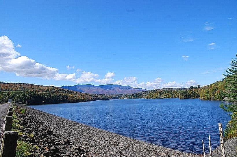
- Waterbury Reservoir (15km South)