Landmark: Smugglers’ Notch State Park
City: Stowe
Country: USA Vermont
Continent: North America
Smugglers’ Notch State Park, Stowe, USA Vermont, North America
Smugglers’ Notch State Park is a protected area in the Green Mountains of Vermont, located between the towns of Stowe and Cambridge.
Visual Characteristics
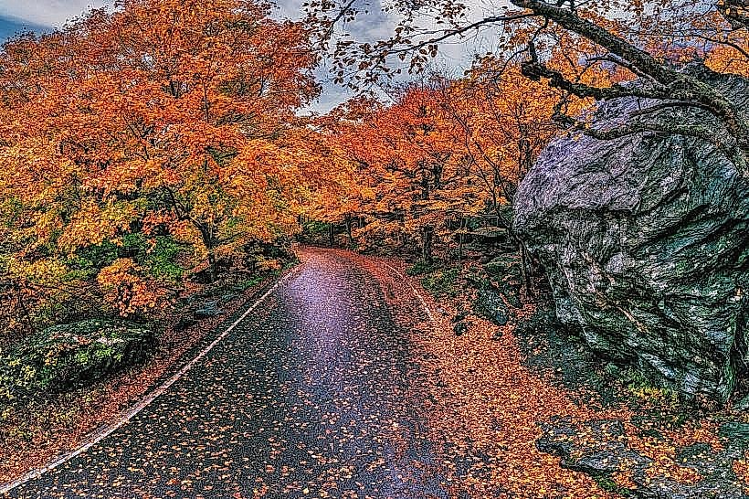
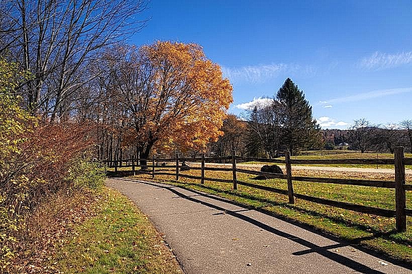
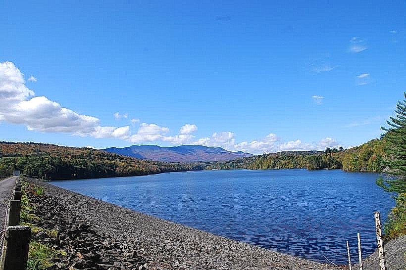
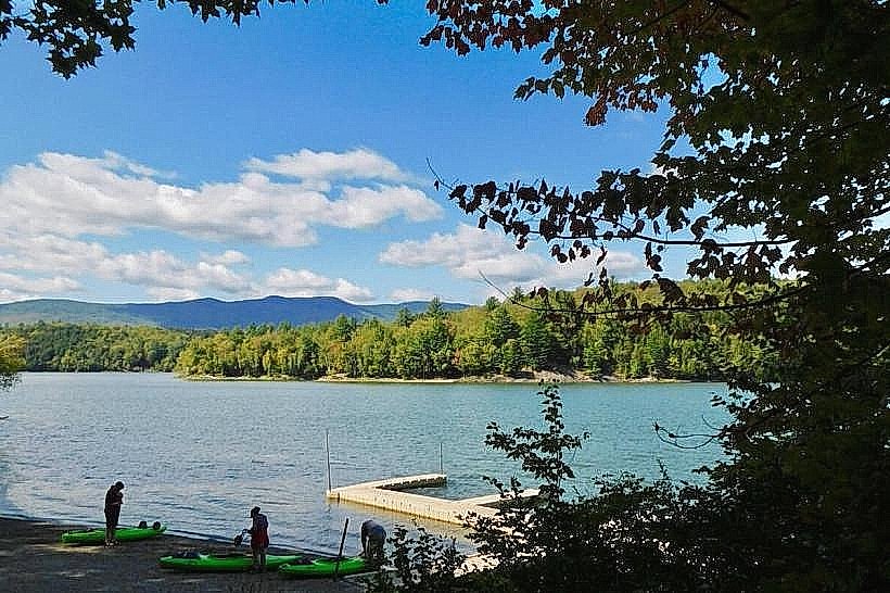
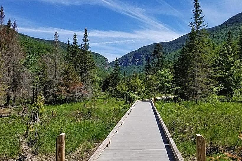
The park features a steep, narrow pass carved by glacial activity. Rock formations include large granite boulders and exposed bedrock. The vegetation is dense deciduous forest, primarily maple, birch, and beech trees, with a significant understory of ferns and mosses. A small stream, the Gihon River, flows through the gorge.
Location & Access Logistics
The park is accessed via Vermont Route 108. The main entrance is approximately 10km west of Stowe village center. Parking is available at designated pull-offs and a small lot at the summit of the pass. During winter months (typically November through April), Route 108 is closed to through traffic due to snow and ice. Public transport is not available directly to the park; visitors typically use private vehicles.
Historical & Ecological Origin
The pass was geologically formed by glacial erosion during the last ice age. Historically, the area gained notoriety during the Embargo Act of 1807, when smugglers used the pass to transport goods between the United States and Canada, hence its name. The park was established in 1962.
Key Highlights & Activities
Hiking trails include the Long Trail, which traverses the park. Specific points of interest include the "Hell's Gate" and "The Devil's Elbow" sections of the pass, known for their steep grades and sharp turns. Rock climbing is permitted on designated cliffs. During winter, the closed road is used for cross-country skiing and snowshoeing.
Infrastructure & Amenities
Restrooms are available at the main parking area near the summit. Limited shade is provided by the forest canopy. Cell phone signal is intermittent to non-existent within the gorge. No food vendors are present within the park; visitors should bring supplies.
Best Time to Visit
For hiking and scenic drives, the months of June through October offer the most favorable weather. Autumn foliage viewing is optimal in late September and early October. The pass is generally clear of snow and open to vehicles from late May to mid-October. Photography is best in the morning or late afternoon for angled light on the rock faces.
Facts & Legends
A local legend states that during the Embargo Act, smugglers would hide their contraband in caves and crevices within the notch, sometimes using elaborate pulley systems to move goods across the steep terrain. One specific rock formation is locally referred to as "Smuggler's Rock."
Nearby Landmarks
- Mount Mansfield State Forest (0.5km North)
- Sterling Pond (2.0km East)
- Moss Glen Falls (3.5km South)
- Camel's Hump State Park (15.0km Southwest)