Landmark: Little River State Park
City: Stowe
Country: USA Vermont
Continent: North America
Little River State Park, Stowe, USA Vermont, North America
Little River State Park is a protected natural area located in Waterbury, Vermont, adjacent to the town of Stowe.
Visual Characteristics
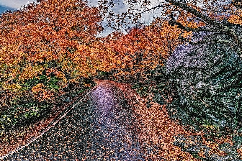
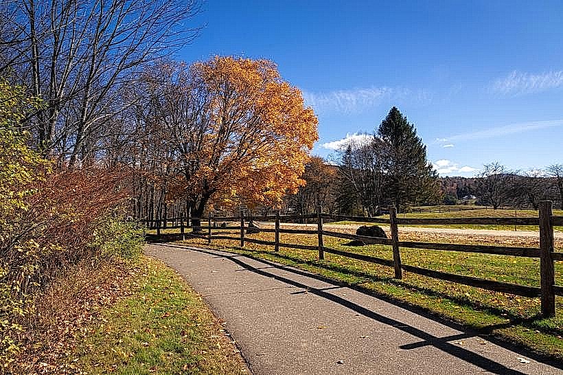
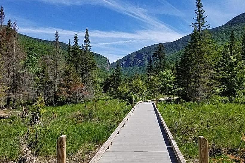
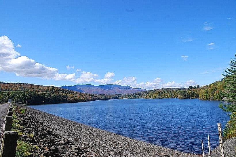
The park encompasses 828 acres of mixed hardwood and coniferous forest. The terrain is characterized by rolling hills and the Little River, which flows through the park. The riverbed consists of gravel and cobble. Several small ponds are present within the park boundaries, with water coloration varying from clear to slightly tannic depending on the season and rainfall.
Location & Access Logistics
Little River State Park is situated approximately 10 miles (16 km) east of Waterbury, Vermont, and 5 miles (8 km) south of Stowe, Vermont. Access is via Vermont Route 100. From Waterbury, take VT-100 North for approximately 8 miles. From Stowe, take VT-100 South for approximately 5 miles. The park entrance is clearly marked. Parking is available at designated lots throughout the park, including near the beach area and trailheads. There are no direct public transport routes to the park entrance. The nearest bus service operates between Waterbury and Stowe.
Historical & Ecological Origin
The land that now constitutes Little River State Park was originally part of the Green Mountain National Forest. It was established as a state park in 1961. The area's ecological classification is primarily deciduous-coniferous forest, with a watershed dominated by the Little River. The landscape has been shaped by glacial activity and subsequent erosion.
Key Highlights & Activities
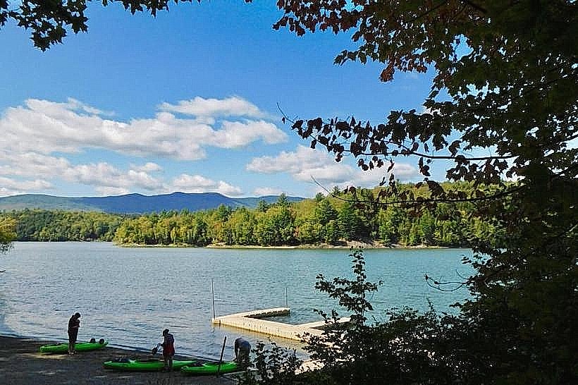
Activities include hiking on 20 miles of marked trails, including the 5-mile loop around Waterbury Reservoir. Fishing is permitted in the reservoir and river, subject to Vermont fishing regulations. Kayaking and canoeing are available on the reservoir. A designated swimming beach is open seasonally. Picnicking is facilitated by numerous designated sites with tables and grills.
Infrastructure & Amenities
Restrooms are available at the main park office and at several day-use areas. Sheltered picnic areas are provided. Cell phone signal (4G/5G) is intermittent within the park, with stronger reception near the park entrance and along VT-100. There are no on-site food vendors; visitors should bring their own provisions. A boat launch is available for watercraft.
Best Time to Visit
For hiking and general park exploration, the months of June through October offer the most favorable weather. Mid-morning (9:00 AM - 11:00 AM) and late afternoon (3:00 PM - 5:00 PM) provide optimal lighting for photography due to reduced direct sunlight. Water activities are best from Memorial Day weekend through Labor Day weekend. The reservoir is typically at its fullest in late spring and early summer.
Facts & Legends
The Waterbury Reservoir, a central feature of the park, was created by the construction of the Waterbury Dam in the 1930s. A local anecdote suggests that during exceptionally dry summers, the outline of a submerged village is sometimes visible in the reservoir's shallowest areas, though this is unverified.
Nearby Landmarks
- Stowe Mountain Resort (8km Northeast)
- Ben & Jerry's Factory (6km West)
- Cold Hollow Cider Mill (7km West)
- Mount Mansfield State Forest (12km North)
- Waterbury Village Historic District (9km West)