Landmark: Smugglers’ Notch
City: Stowe
Country: USA Vermont
Continent: North America
Smugglers’ Notch, Stowe, USA Vermont, North America
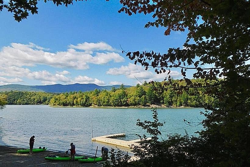
Smugglers' Notch is a mountain pass located in the Green Mountains of Vermont, USA, between the towns of Stowe and Cambridge.
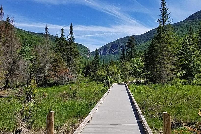
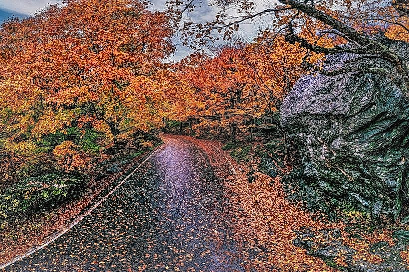
This geological feature is characterized by steep, glacially carved walls and a winding roadway.
Visual Characteristics
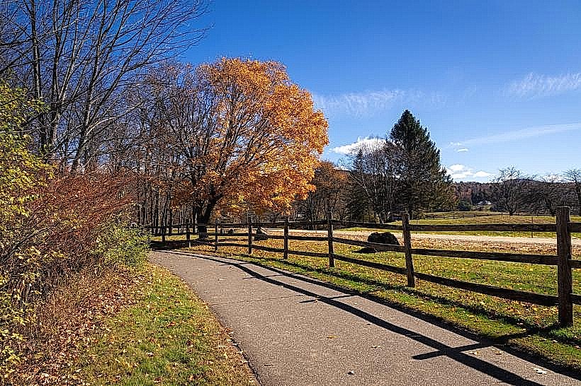
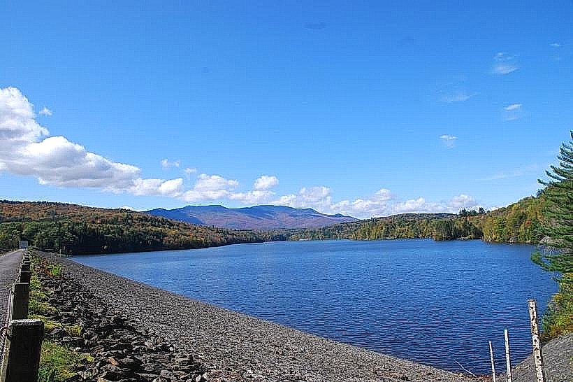
The pass features sheer granite cliffs, some exceeding 1,000 feet in height. The roadway itself is paved and approximately 10 miles in length. Dense coniferous and deciduous forest covers the slopes, with seasonal variations in foliage color. Rock debris and scree are present at the base of the cliffs.
Location & Access Logistics
Smugglers' Notch is situated on Vermont Route 108. The pass is located approximately 8 miles west of Stowe village center and 12 miles east of Cambridge village center. Access is via VT-108. Parking is available at designated pull-offs along the route, particularly at the summit area and the base of the ski resort. During winter months (typically November to April), VT-108 through the Notch is closed to vehicular traffic due to snow and ice. Public transport options are limited; the Green Mountain Transit bus service operates routes to Stowe and Cambridge, but does not directly service the Notch itself.
Historical & Ecological Origin
Smugglers' Notch was formed by glacial erosion during the last ice age. The steep U-shaped valley is a direct result of glacial scouring. Historically, the pass gained notoriety during the early 19th century as a route for smugglers evading U.S. customs duties, particularly during the Embargo Act of 1807. The name "Smugglers' Notch" directly references this period of illicit trade.
Key Highlights & Activities
Hiking trails are accessible from various points within the Notch, including the Sterling Pond Trail and the Long Trail. Rock climbing is permitted on designated routes. Scenic driving is a primary activity during the warmer months. In winter, the area is part of the Smugglers' Notch Resort, offering skiing and snowboarding. Photography of the geological formations and seasonal scenery is common.
Infrastructure & Amenities
Restrooms are available at the Smugglers' Notch Resort base area and at some designated parking areas. Limited shade is provided by the surrounding forest. Cell phone signal is intermittent to non-existent within the deepest sections of the Notch. Food vendors are primarily located at the Smugglers' Notch Resort. Basic interpretive signage is present at key viewpoints.
Best Time to Visit
For driving and hiking, the best months are June through October, avoiding the winter closure. Mid-morning to late afternoon offers optimal lighting for photography of the cliff faces. Fall foliage season (late September to mid-October) provides significant color variation. There are no tide-dependent activities.
Facts & Legends
A local legend claims that during Prohibition, the Notch was used to transport illegal alcohol. Another account suggests that during the War of 1812, American soldiers were sent to patrol the pass to prevent smuggling, leading to its name. A specific tip for visitors is to be aware of the narrow, winding road and to use pull-offs for slower traffic and to allow others to pass.
Nearby Landmarks
- Smugglers' Notch Resort (0.1km North)
- Sterling Pond (1.5km West)
- Mount Mansfield State Forest (Adjacent)
- Moss Glen Falls (3.0km South)
- Stowe Village Historic District (8.0km East)