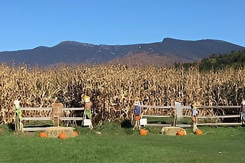
Landmark: Mount Mansfield
City: Stowe
Country: USA Vermont
Continent: North America
Mount Mansfield, Stowe, USA Vermont, North America
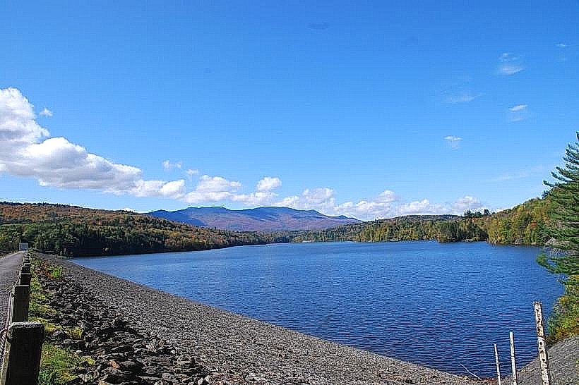
Mount Mansfield is the highest point in Vermont, located in the Green Mountains near Stowe.
Visual Characteristics
The summit of Mount Mansfield is characterized by exposed rock formations resembling a human face in profile, including the Forehead, Nose, Chin, and Adam's Apple. The slopes are covered in a mix of deciduous and coniferous forests, transitioning to alpine tundra at higher elevations. Rock types include schist and quartzite.
Location & Access Logistics
Mount Mansfield is situated approximately 10 miles (16 km) west of Stowe, Vermont. Access is primarily via the Mount Mansfield Auto Road, a toll road open seasonally from late May to mid-October, weather permitting. The road terminates at a parking area near the summit. Alternatively, hikers can access the mountain via numerous trails, including the Long Trail. Public transport to Stowe is available via bus services; from Stowe village, local taxi services or ride-sharing can be utilized to reach trailheads or the auto road entrance. Parking is available at designated lots at the base of various trails and at the auto road toll booth.
Historical & Ecological Origin
Mount Mansfield is a product of the Taconic orogeny, a mountain-building event that occurred approximately 450 million years ago. The summit's exposed rock formations are the result of glacial erosion and subsequent weathering. Ecologically, it represents a transition zone from temperate deciduous forest to alpine tundra, supporting unique plant and animal communities adapted to harsh conditions.
Key Highlights & Activities
Hiking is the primary activity, with trails ranging from moderate to strenuous. The Chin Path and Lake Mansfield Trail are popular options. Rock climbing is possible on specific formations. During winter, the Stowe Mountain Resort operates on the mountain's eastern slopes, offering skiing and snowboarding. Observation points at the summit provide panoramic views of the surrounding landscape.
Infrastructure & Amenities
Restrooms are available at the summit parking area and at the base of the auto road. Limited shade is present at the summit due to the alpine environment. Cell phone signal (4G/5G) is intermittent and unreliable at higher elevations. Food vendors are typically located at the base of the mountain at the Stowe Mountain Resort or in Stowe village.
Best Time to Visit
For hiking and summit views, the best months are July through September, offering the most stable weather. The Mount Mansfield Auto Road is best traversed between 9:00 AM and 3:00 PM for optimal lighting conditions for photography. High tide is not applicable. Winter visits require appropriate cold-weather gear and awareness of resort operating hours.
Facts & Legends
A local legend states that the mountain's profile is that of a giant who fell asleep and turned to stone. A verified historical oddity is the presence of the "Smugglers' Notch", a narrow pass between Mount Mansfield and Camel's Hump, historically used for illicit trade.
Nearby Landmarks
- Smugglers' Notch State Park: 3km Northwest
- Camel's Hump State Park: 8km Southwest
- Moss Glen Falls: 4km East
- Stowe Village Historic District: 10km East
- Sterling Pond: 6km North