Landmark: Waterbury Reservoir
City: Stowe
Country: USA Vermont
Continent: North America
Waterbury Reservoir, Stowe, USA Vermont, North America
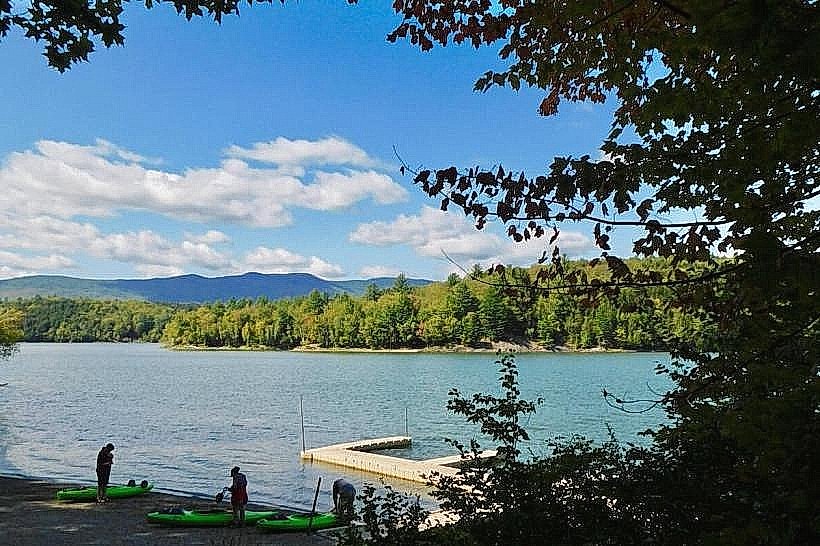
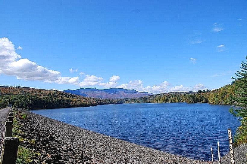
Waterbury Reservoir is a man-made lake located in Waterbury, Vermont, USA. It serves as a primary water source for the surrounding communities.
Visual Characteristics
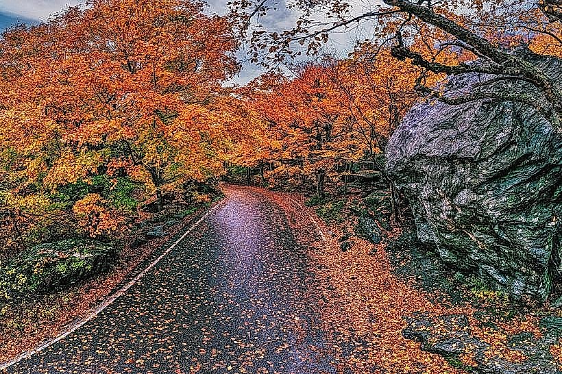
The reservoir is characterized by its expansive, calm water surface, typically reflecting the surrounding Green Mountains. The shoreline varies from sandy beaches in developed areas to rocky and wooded sections. Water color ranges from deep blue to greenish depending on depth and algae presence. The reservoir is approximately 3.5 miles (5.6 km) long and 0.5 miles (0.8 km) wide at its widest point.
Location & Access Logistics
Waterbury Reservoir is situated approximately 5 miles (8 km) west of the town of Waterbury, Vermont. Access is primarily via VT Route 2, which runs along the southern edge of the reservoir. Several parking areas are available, including a main access point near the dam and smaller pull-offs along the scenic loop road. Public transport options are limited; the Green Mountain Transit bus route serves the town of Waterbury, requiring a taxi or personal vehicle for onward travel to the reservoir.
Historical & Ecological Origin
Construction of the Waterbury Reservoir dam was completed in 1973 by the U.S. Army Corps of Engineers. Its original purpose was flood control and water supply for the Winooski River Basin. The reservoir was formed by impounding the Little River.
Key Highlights & Activities
Activities include boating (non-motorized and limited motorized use), fishing for species such as trout and bass, and swimming in designated areas. Hiking trails surround sections of the reservoir, offering access to different viewpoints. Kayaking and paddleboarding are popular during warmer months.
Infrastructure & Amenities
Restrooms are available at the main access point near the dam. Picnic tables and some shaded areas are present in developed recreation zones. Cell phone signal (4G/5G) is generally available in parking areas but can be intermittent along trails and on the water. No on-site food vendors are present; visitors should bring their own provisions.
Best Time to Visit
The best months for visiting are from June to October, when the weather is most favorable for outdoor activities. Mid-morning to late afternoon offers the best lighting for photography. Water temperatures are suitable for swimming from July through September. High tide is not a relevant factor for this freshwater reservoir.
Facts & Legends
A unique aspect of the reservoir's creation involved the relocation of several homes and structures that were submerged upon its filling. Local folklore sometimes speaks of unusual currents or sightings, though these are largely anecdotal.
Nearby Landmarks
- Cold Hollow Cider Mill (1.5km East)
- Ben & Jerry's Factory (3.0km East)
- Camel's Hump State Park (8.0km Southwest)
- Mount Mansfield State Forest (10.0km Northwest)
- Vermont Ski and Snowboard Museum (5.0km East)