Landmark: Cady Hill Forest Trails
City: Stowe
Country: USA Vermont
Continent: North America
Cady Hill Forest Trails, Stowe, USA Vermont, North America
Cady Hill Forest Trails is a network of hiking and biking trails located in Stowe, Vermont, USA.
This area provides a diverse range of terrain for outdoor recreation.
Visual Characteristics
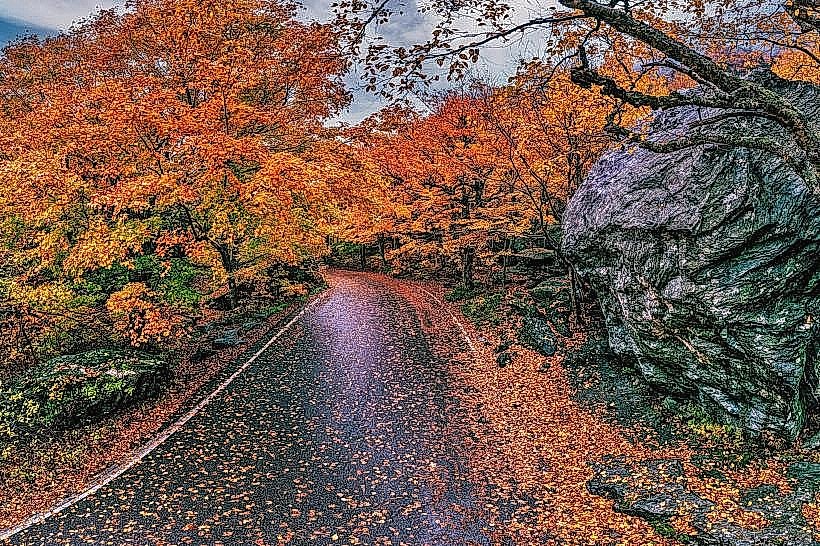
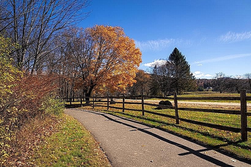
The forest is characterized by deciduous trees, primarily maple and birch, with a dense understory of ferns and mosses. Trail surfaces vary from packed earth and gravel to exposed roots and rocks. Elevation changes are significant, with some trails featuring steep ascents and descents. Streams and small water crossings are present throughout the area.
Location & Access Logistics
Cady Hill Forest Trails are situated approximately 1.5 miles (2.4 km) west of Stowe village center. Access is primarily from the parking area located off Cady Hill Road. From Route 108 (Mountain Road), turn west onto Cady Hill Road. The main trailhead and parking lot are located about 0.5 miles (0.8 km) up Cady Hill Road on the left. Public transport options to Stowe village are available, but direct access to the trailhead via public transit is not provided. Parking is limited and can fill quickly during peak seasons.
Historical & Ecological Origin
Cady Hill Forest is a managed forestland, historically used for timber and recreation. Its ecological classification is Northern Hardwood Forest, a biome characterized by a mix of hardwood tree species adapted to temperate climates with distinct seasons. The trail system has been developed and maintained by local organizations and volunteers over several decades to facilitate public access for outdoor activities.
Key Highlights & Activities
Activities include hiking, mountain biking, and trail running. Specific trails offer varying difficulty levels, from beginner-friendly loops to challenging technical descents. The "Flow State" trail is known for its berms and jumps for mountain bikers. The "Forest Loop" is a moderate hiking option. Trail maps are available at the trailhead and online.
Infrastructure & Amenities
A designated parking area is available at the main trailhead. Restrooms are not present at the trailhead. Shade is abundant throughout the forest. Cell phone signal (4G/5G) is intermittent and unreliable within the forest. No food vendors are located directly at the trailhead; amenities are available in nearby Stowe village.
Best Time to Visit
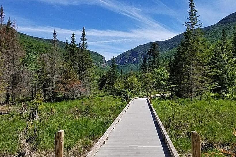
The best time for hiking and biking is from late spring (May) through fall (October). Summer offers lush foliage but can be humid. Fall foliage provides distinct visual appeal from mid-September to mid-October. Early morning or late afternoon offers optimal lighting for photography due to reduced sun angle. Trails can be muddy after rain, particularly in spring and fall.
Facts & Legends
A local anecdote suggests that the forest was once a favored spot for clandestine meetings during Prohibition due to its remote location and dense cover. The trail network is largely maintained by volunteer efforts, with specific trail sections often adopted by individuals or groups for ongoing upkeep.
Nearby Landmarks
- Stowe Mountain Resort (3.5km Northwest)
- Mount Mansfield State Forest (4.0km West)
- Smugglers' Notch State Park (6.0km Northwest - outside 5km radius but significant)
- Town of Stowe (2.4km East)
- Gold Brook Covered Bridge (3.0km Southeast)