Landmark: Beaverhead River
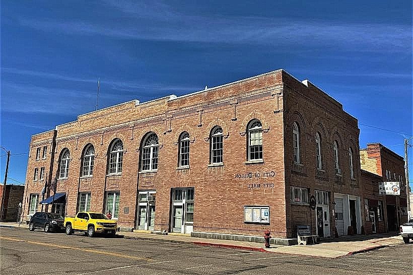
City: Dillon
Country: USA Montana
Continent: North America
Beaverhead River, Dillon, USA Montana, North America
The Beaverhead River is a significant waterway located in Dillon, Montana. It is a tributary of the Jefferson River.
Visual Characteristics
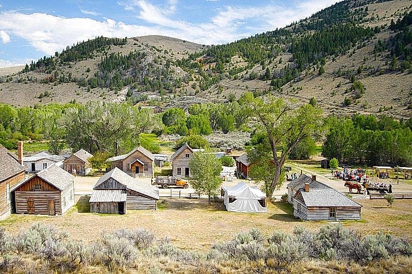
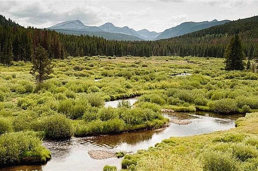
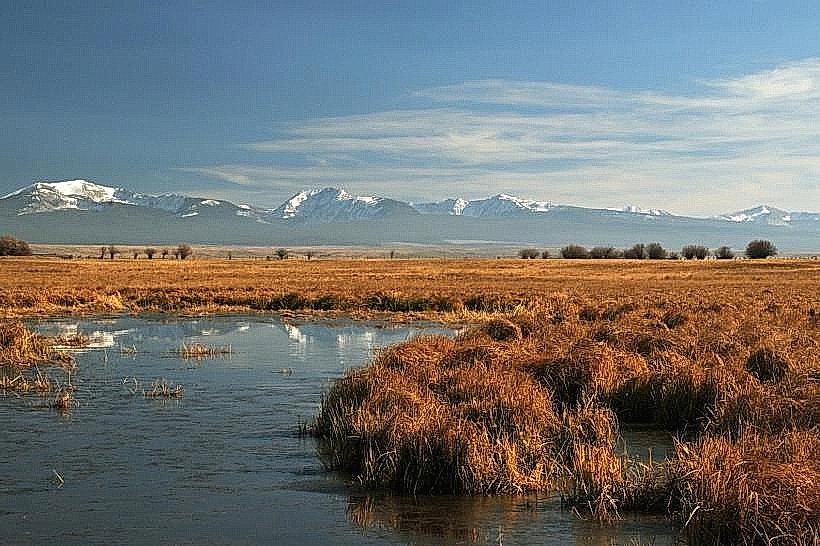
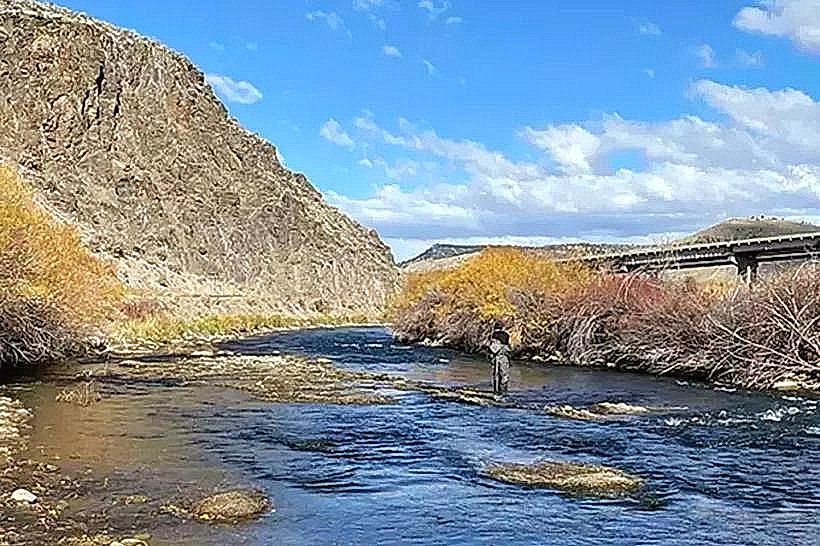
The river's water color varies from clear to a milky turquoise, depending on recent precipitation and sediment load. The riverbed is composed of gravel and cobble. The surrounding landscape features riparian vegetation, including cottonwood trees and willows, with open grassland and rolling hills beyond.
Location & Access Logistics
The Beaverhead River flows through Dillon, Montana. Access points are numerous along the river corridor. Interstate 15 provides primary access to Dillon. State Highway 41 runs parallel to the river south of Dillon. Numerous county roads and designated access sites offer parking, including the Jerry's Landing and Pipe Organ access sites. Public transport is limited to local Dillon services; river access typically requires personal vehicle transport.
Historical & Ecological Origin
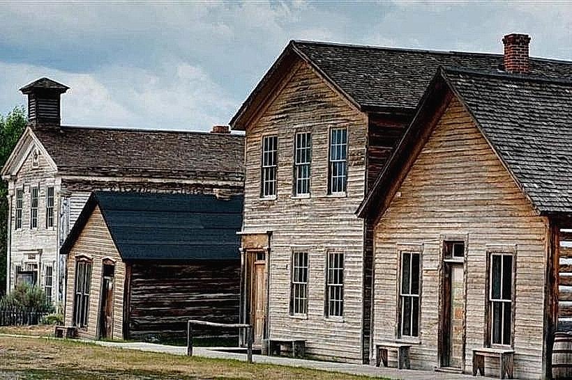
The Beaverhead River is a natural waterway formed by the confluence of the Red Rock River and the Little Beaverhead River. Its geological origin is tied to glacial and post-glacial erosion patterns in the Northern Rocky Mountains. Historically, it served as a vital resource for indigenous peoples and early settlers for transportation and sustenance.
Key Highlights & Activities
Fly fishing for trout (brown and rainbow) is a primary activity. Kayaking and rafting are possible during higher flow periods. Bank fishing is accessible from various points. Wildlife observation, particularly of birds and deer, is common along the riverbanks.
Infrastructure & Amenities
Designated access sites often include basic amenities such as gravel parking areas and primitive boat launches. Restrooms are not consistently available at all access points. Cell phone signal strength varies significantly along the river corridor. Food vendors and comprehensive services are located within Dillon.
Best Time to Visit
For fishing, the prime seasons are spring (April-May) and fall (September-October). Summer offers warmer water temperatures, which can affect trout behavior. Mid-morning to late afternoon generally provides optimal light for photography. Water levels are highest in late spring due to snowmelt.
Facts & Legends
The river is named for the beaver dams that were historically abundant in the area. A notable historical event occurred near the river's headwaters during the Lewis and Clark Expedition, where they encountered the Lemhi Shoshone, including Sacagawea.
Nearby Landmarks
- Clark's Lookout State Park (1.5km Northwest)
- Beaverhead County Museum (2.0km North)
- Dillon Reservoir (10.0km Southeast)
- Pioneer Mountains-Deer Lodge National Forest (Access points vary, generally South and East)