Landmark: Blacktail Deer Creek Trail
City: Dillon
Country: USA Montana
Continent: North America
Blacktail Deer Creek Trail, Dillon, USA Montana, North America
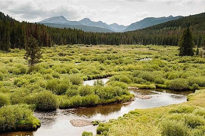
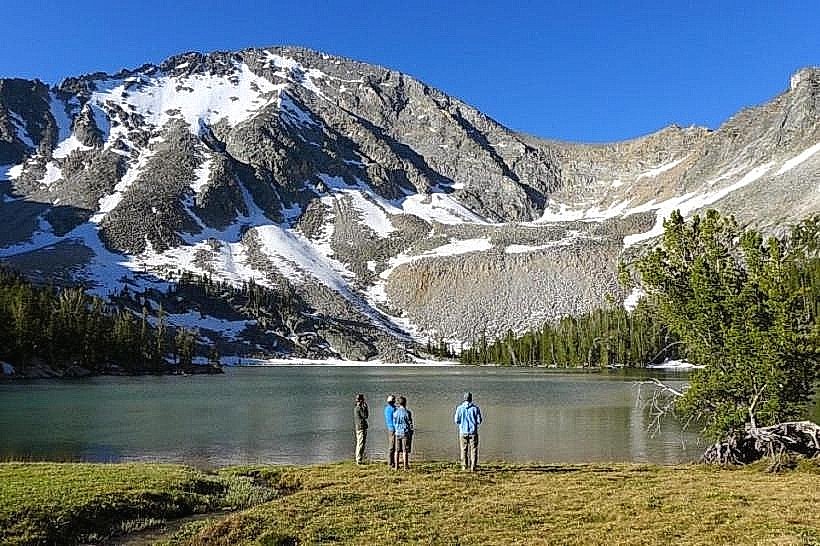
The Blacktail Deer Creek Trail is a hiking path located in Dillon, Montana, USA. It follows a section of Blacktail Deer Creek through a mixed forest environment.
Visual Characteristics
The trail is primarily a dirt path, averaging 1.5 meters in width. It traverses through stands of Douglas fir, ponderosa pine, and aspen. The creek itself is characterized by clear, flowing water over a gravel bed. Elevation gain is gradual, with some steeper sections near the creek banks.
Location & Access Logistics
The trailhead is situated 8 kilometers south of Dillon, Montana, accessible via Montana Highway 278. Turn east onto Forest Service Road 332 (also known as Blacktail Road) and proceed 1.5 kilometers to the designated parking area. The parking area accommodates approximately 20 vehicles. No public transport services reach this trailhead.
Historical & Ecological Origin
This area is part of the Beaverhead-Deerlodge National Forest. The trail's origin is linked to historical logging and grazing access routes. Ecologically, it represents a riparian zone supporting diverse flora and fauna typical of the Northern Rocky Mountains.
Key Highlights & Activities
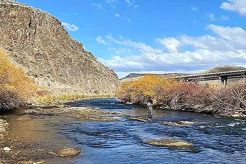
Hiking is the primary activity. The trail offers opportunities for birdwatching and observing local wildlife. Fishing in Blacktail Deer Creek is permitted with a Montana fishing license. The trail is suitable for day hikes.
Infrastructure & Amenities
A single-stall vault toilet is located at the trailhead parking area. There are no designated picnic tables or shelters. Cell phone reception is intermittent to non-existent along the trail. No food vendors are present at the trailhead or along the route.
Best Time to Visit
The best months for hiking are from May through October, avoiding winter snowpack. Mid-morning (9:00 AM - 11:00 AM) and late afternoon (3:00 PM - 5:00 PM) offer optimal lighting conditions for photography due to the angle of the sun through the trees.
Facts & Legends
Local lore suggests that the creek's name originates from frequent sightings of blacktail deer along its banks during early settlement periods. A specific point of interest is a small, natural rock bridge formed by erosion approximately 2 kilometers into the trail.
Nearby Landmarks
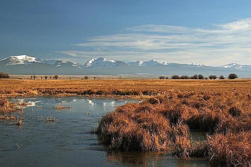
- Pioneer Mountains (15km Northeast)
- Clark Canyon Reservoir (25km South)
- Beaverhead River (10km West)
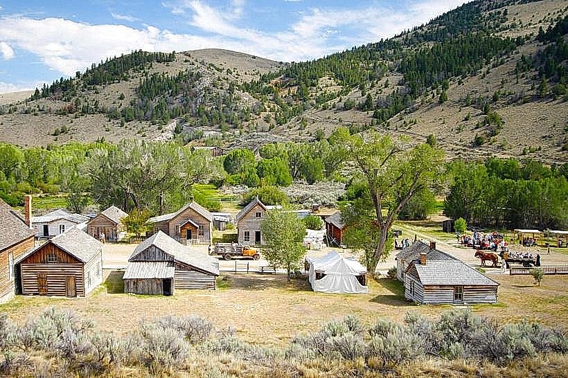
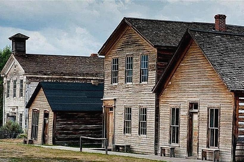
- Dillon Historic District (8km North)