Landmark: Birch Creek Trail
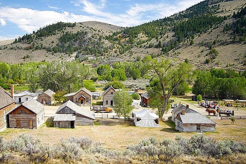
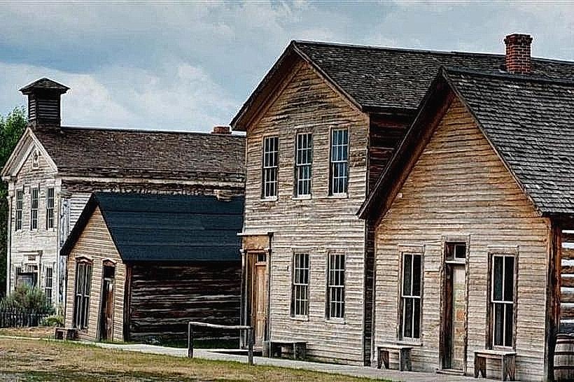
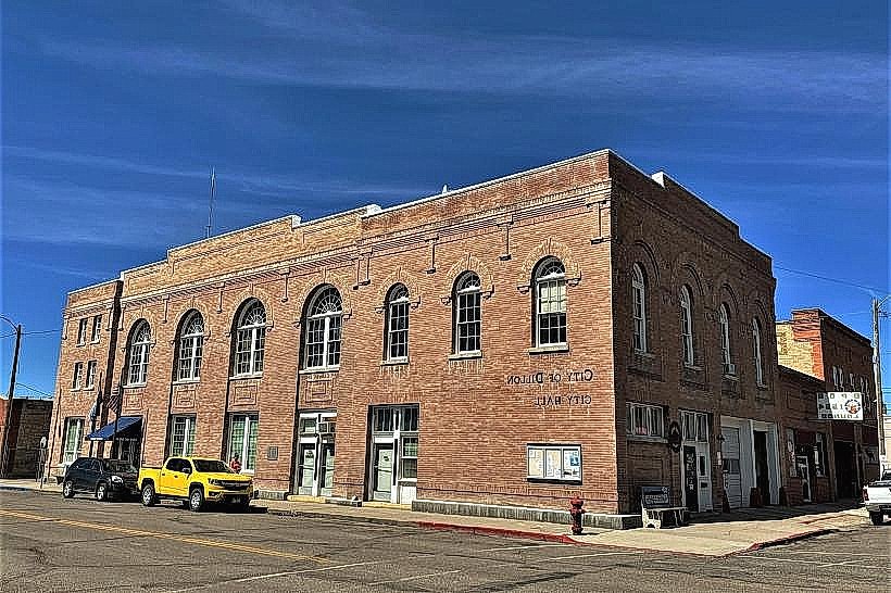
City: Dillon
Country: USA Montana
Continent: North America
Birch Creek Trail, Dillon, USA Montana, North America
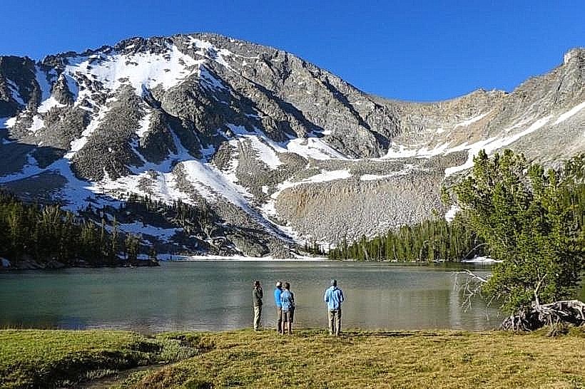
Birch Creek Trail is a 12.8 km (8 mile) out-and-back hiking path located in Dillon, Montana, USA.
Visual Characteristics
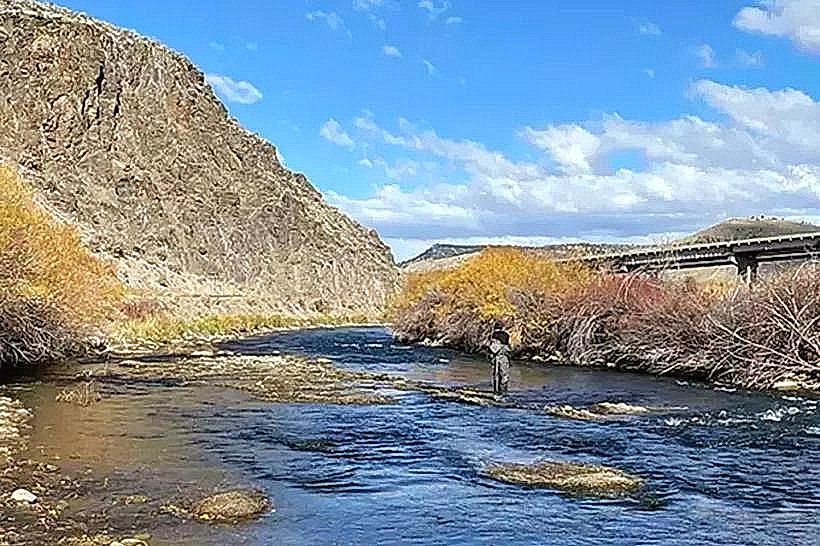
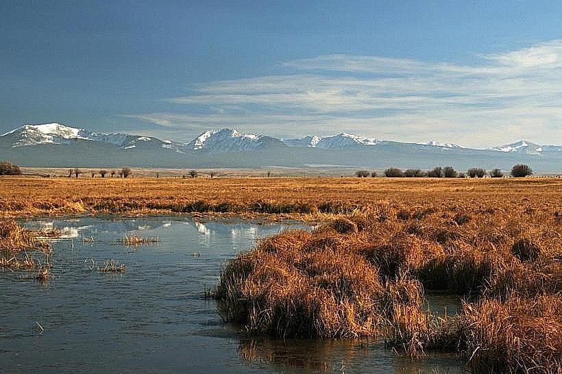
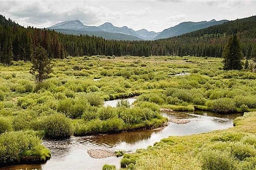
The trail traverses mixed conifer forest, primarily Douglas fir and lodgepole pine, with intermittent open meadows. The path itself is a dirt track, averaging 1 meter in width, with a moderate gradient. Elevation gain is approximately 300 meters (984 feet) over the course of the trail. The creek, Birch Creek, runs alongside sections of the trail, characterized by clear, cold water and a rocky bed.
Location & Access Logistics
The trailhead is situated 16 km (10 miles) west of Dillon, Montana, accessible via Montana Highway 278. Turn north onto Forest Service Road 278A (unpaved, maintained gravel) for approximately 3.2 km (2 miles) to reach the designated parking area. The parking area accommodates approximately 15 vehicles. No public transport services are available to the trailhead.
Historical & Ecological Origin
Birch Creek Trail follows an old logging route established in the early 20th century. The area is part of the Beaverhead-Deerlodge National Forest, characterized by montane forest ecosystems. The creek is a tributary to the Big Hole River, supporting native trout populations.
Key Highlights & Activities
Hiking is the primary activity. The trail offers opportunities for wildlife observation, including deer and various bird species. Fishing in Birch Creek is permitted with a Montana fishing license. The turnaround point at approximately 6.4 km (4 miles) provides an elevated view of the surrounding valley.
Infrastructure & Amenities
The trailhead has a single pit toilet. No other amenities, such as picnic tables or water sources, are present. Cell phone signal is unreliable to non-existent along the trail and at the trailhead.
Best Time to Visit
The optimal period for hiking is from late May through October, avoiding snowpack. Mid-morning (9:00 AM - 11:00 AM) offers good lighting for photography due to the angle of the sun through the trees. Afternoon can be warmer.
Facts & Legends
Local lore suggests that prospectors in the late 19th century found small gold deposits along Birch Creek, though large-scale mining never materialized in this specific area.
Nearby Landmarks
- Big Hole River (10km Southeast)
- Pioneer Mountains Scenic Byway (15km Southwest)
- Dillon Reservoir (18km East)
- Blacktail Ski Area (22km Northwest)