Landmark: Lions Den Trail
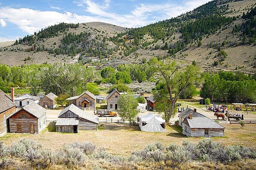
City: Dillon
Country: USA Montana
Continent: North America
Lions Den Trail, Dillon, USA Montana, North America
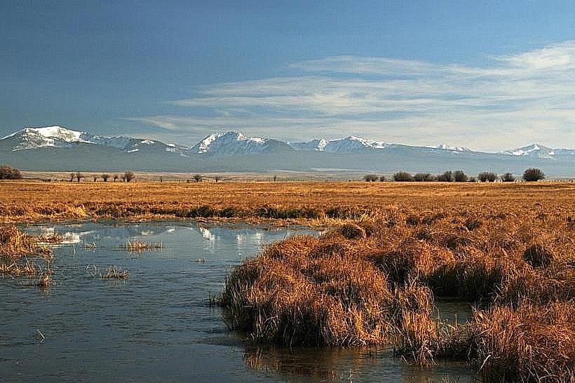
The Lions Den Trail is a hiking path located in Dillon, Montana, USA. It provides access to a specific geological formation.
Visual Characteristics
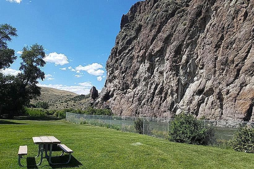
The trail traverses a landscape characterized by exposed sedimentary rock formations. These formations exhibit layered strata in shades of tan, grey, and ochre. Vegetation is sparse, consisting primarily of drought-resistant grasses and scattered Ponderosa pines. The trail itself is a compacted dirt path, approximately 1.5 meters wide in most sections.
Location & Access Logistics
The trailhead is situated 8 kilometers southwest of Dillon's city center. Access is via County Road 347, which is a paved road for the first 5 kilometers, transitioning to a well-maintained gravel road for the remaining 3 kilometers. A designated gravel parking area with capacity for approximately 20 vehicles is located at the trailhead. No public transport services operate directly to the trailhead.
Historical & Ecological Origin
The rock formations are the result of ancient sedimentary deposition and subsequent erosion. Geologically, they represent a portion of the Tertiary period strata. The area's ecological classification is semi-arid grassland with scattered coniferous forest.
Key Highlights & Activities
Hiking is the primary activity. The trail leads to a prominent rock outcrop offering panoramic views of the surrounding valley. Observation of local flora and fauna, including various bird species and small mammals, is possible. Photography of the geological features is recommended.
Infrastructure & Amenities
The trailhead features a single information kiosk with a trail map. No restrooms, shade structures, or food vendors are present at the trailhead or along the trail. Cell phone signal (4G/5G) is intermittent and unreliable throughout the trail system.
Best Time to Visit
For photography, early morning (07:00-09:00) and late afternoon (16:00-18:00) provide optimal lighting conditions for the rock formations. The months of May through October offer the most favorable weather for hiking, with daytime temperatures typically ranging from 15°C to 25°C. Avoid midday during summer months due to potential heat exposure.
Facts & Legends
Local lore suggests the rock formations resemble the profile of a lion's head when viewed from a specific angle on the western approach, hence the trail's name. This resemblance is subjective and dependent on lighting and observer perspective.
Nearby Landmarks
- Beaverhead County Museum (7.5km Northeast)
- Dillon Reservoir (12km West)
- Pioneer Mountains (20km Southeast)