Landmark: Lover’s Leap Overlook
City: Dillon
Country: USA Montana
Continent: North America
Lover’s Leap Overlook, Dillon, USA Montana, North America
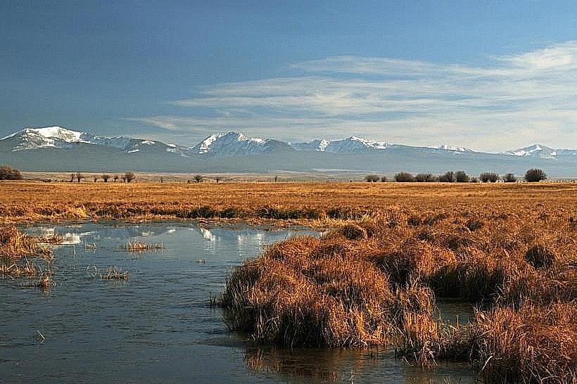
Lover’s Leap Overlook is a geological formation located in Dillon, Montana, USA.
Visual Characteristics
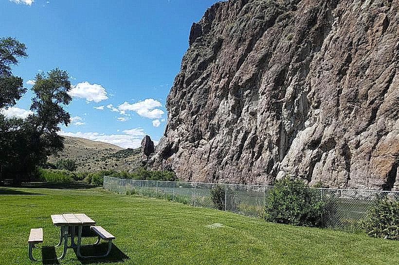
The overlook consists of a prominent rock outcropping composed of sedimentary rock, primarily sandstone and shale. The rock faces exhibit stratification and erosion patterns. Vegetation in the immediate vicinity is sparse, consisting of drought-resistant grasses and low-lying shrubs. The elevation provides a panoramic view of the Beaverhead Valley.
Location & Access Logistics
Lover’s Leap Overlook is situated approximately 5 kilometers (3.1 miles) east of Dillon, Montana. Access is via Montana State Highway 278 (East Atlantic Street). A marked turnoff leads to a gravel access road, approximately 1 kilometer in length, suitable for most passenger vehicles. Parking is available at the base of the overlook in a designated dirt lot. No public transport services this location.
Historical & Ecological Origin
The rock formations at Lover’s Leap Overlook are part of the Tertiary period sedimentary deposits of the Beaverhead Basin. Erosion by wind and water over millennia has shaped the current topography. The name "Lover's Leap" is derived from local folklore, with multiple variations of a romantic legend associated with the site.
Key Highlights & Activities
Observation of the Beaverhead Valley landscape. Photography of geological features and surrounding terrain. Short walks on the unpaved paths around the base of the rock formation are possible.
Infrastructure & Amenities
There are no developed facilities at Lover’s Leap Overlook. Restrooms, shade structures, and food vendors are not present. Cell phone signal (4G/5G) is intermittent to non-existent at the overlook itself.
Best Time to Visit
For optimal lighting conditions for photography, early morning or late afternoon is recommended due to the angle of the sun. The months of May through October offer the most accessible weather conditions, with minimal snow cover. The site is accessible year-round, weather permitting.
Facts & Legends
A local legend states that a young woman, heartbroken by a lost love, leaped from the highest point of the rock formation. Another variation suggests two lovers from feuding families met their end here to be together eternally. Geologically, the site offers clear examples of differential erosion, where harder rock layers protect softer underlying strata.
Nearby Landmarks
- Clark Canyon Reservoir (15km Southwest)
- Beaverhead County Museum (5km West)
- Montana Tech University - Highlands College (4.5km West)
- Big Hole River (Access points within 10km)