Landmark: Burr Trail Scenic Byway
City: Escalante
Country: USA Utah
Continent: North America
Burr Trail Scenic Byway, Escalante, USA Utah, North America
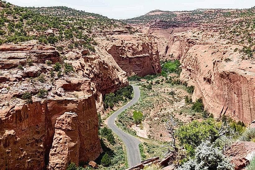
The Burr Trail Scenic Byway is a 67-mile (108 km) paved and unpaved road traversing southern Utah, connecting Capitol Reef National Park to Grand Staircase-Escalante National Monument.
Visual Characteristics
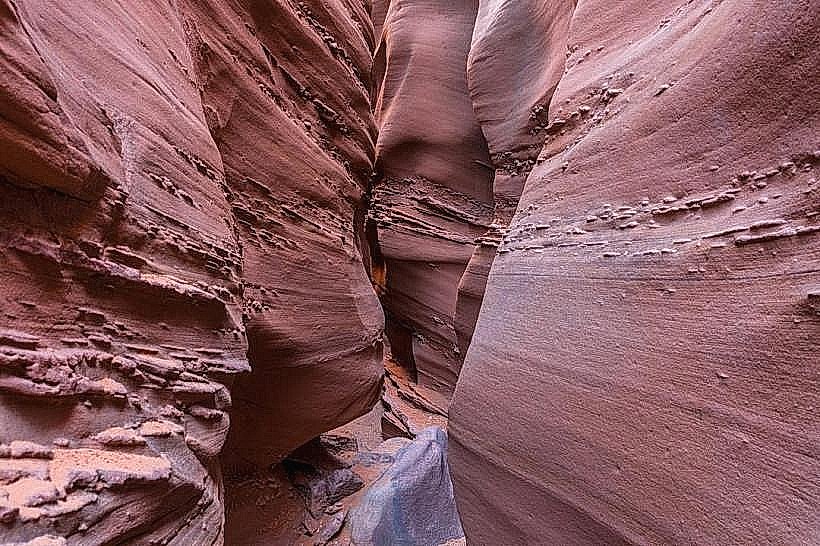
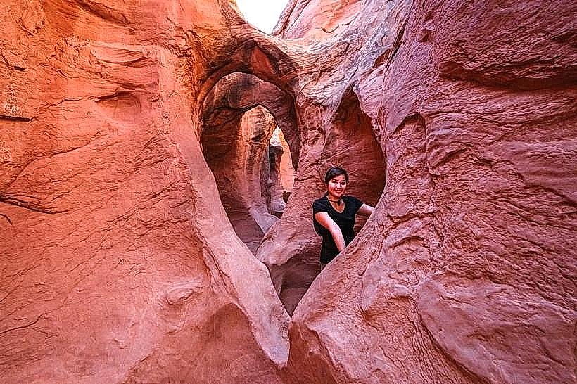
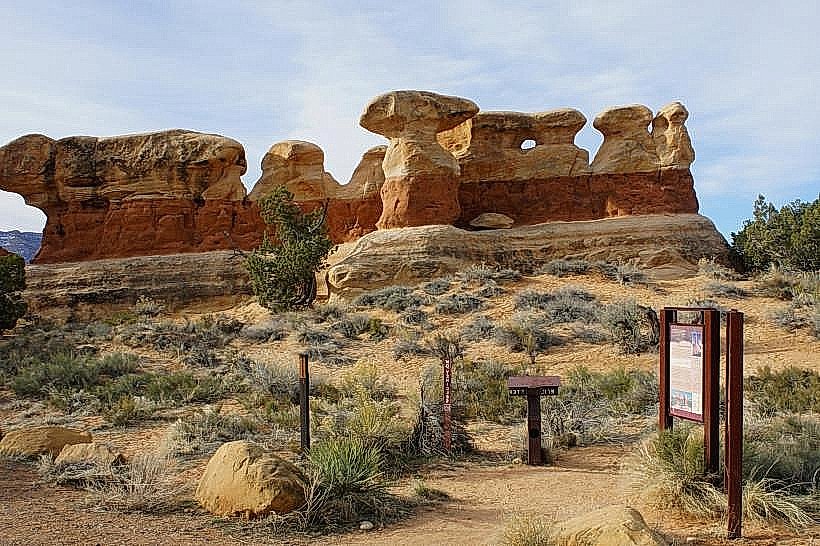
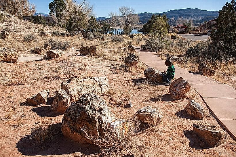
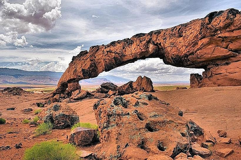
The byway passes through varied geological formations including slickrock canyons, sandstone cliffs, and riparian areas. Vegetation includes pinyon pine, juniper, and cottonwood trees along watercourses. Rock colors range from deep red to cream and orange.
Location & Access Logistics
The western terminus is located 10 miles (16 km) east of Boulder, Utah, off Highway 12. The eastern terminus connects to Highway 24 near the southern entrance of Capitol Reef National Park. The middle section of the byway, approximately 30 miles (48 km) between Cottonwood Creek and the Capitol Reef boundary, is unpaved and can be rough, requiring high-clearance vehicles. No public transport services this route. Parking is available at trailheads and designated pull-offs.
Historical & Ecological Origin
The route follows an old pioneer trail established in the late 19th century. Ecologically, the area is part of the Colorado Plateau, characterized by arid desert conditions and erosion-driven landforms.
Key Highlights & Activities
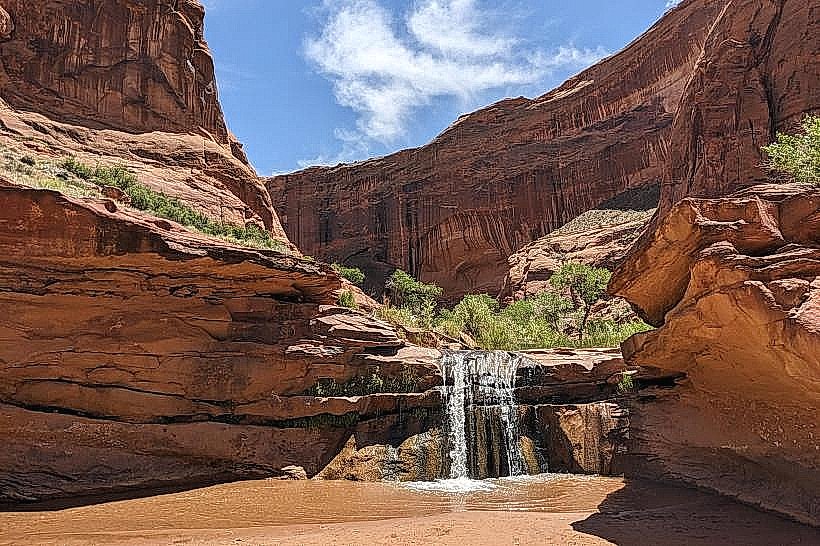
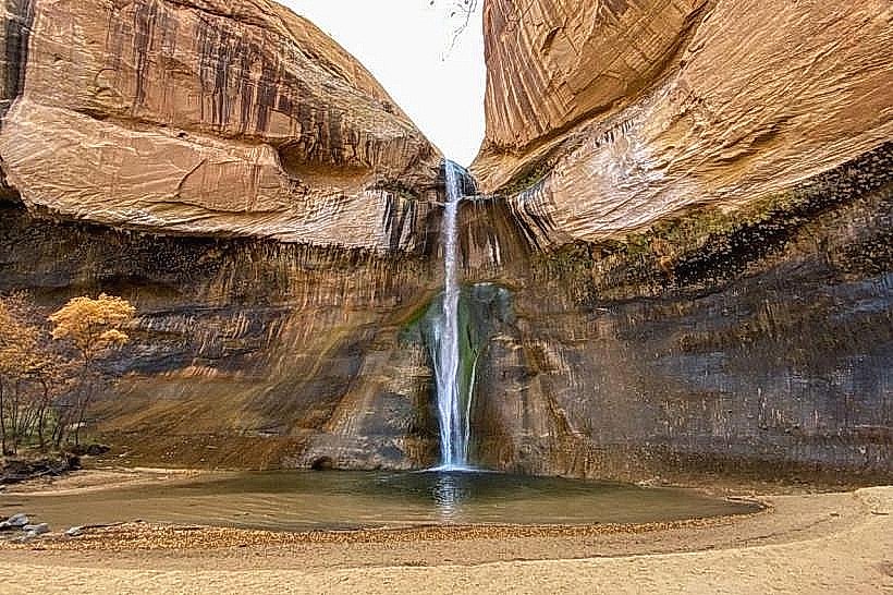
Hiking opportunities exist at various points, including the short hike to the base of Calf Creek Falls (accessible from the adjacent BLM campground). Slot canyon exploration is possible in designated areas. Photography is a primary activity due to the geological formations and light conditions.
Infrastructure & Amenities
Restrooms are available at the Capitol Reef National Park entrance and at the BLM campground near Calf Creek Falls. Shade is limited along most of the route. Cell phone signal is intermittent to non-existent for large portions of the byway. No food vendors are present directly on the byway; services are available in Boulder and Torrey.
Best Time to Visit
Spring (April-May) and Fall (September-October) offer the most moderate temperatures. Mid-day sun can be intense. The unpaved section may be impassable after heavy rain or snow.
Facts & Legends
The "Singing Canyon" is a narrow slot canyon accessible via a short spur road off the main byway. When wind passes through it, it produces a distinct humming sound. This phenomenon is a result of specific wind speeds and the canyon's acoustic properties.
Nearby Landmarks
- Capitol Reef National Park (0.1km East)
- Grand Staircase-Escalante National Monument (Adjacent)
- Calf Creek Falls Recreation Area (15km Southwest)
- Boulder Mountain (20km Northwest)
- Hells Backbone Trail (25km West)