Landmark: Coyote Gulch
City: Escalante
Country: USA Utah
Continent: North America
Coyote Gulch, Escalante, USA Utah, North America
Coyote Gulch is a significant canyon system located within Grand Staircase-Escalante National Monument in Utah, USA. It is known for its narrow slot canyons, natural arches, and riparian environment.
Visual Characteristics
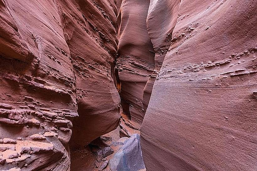
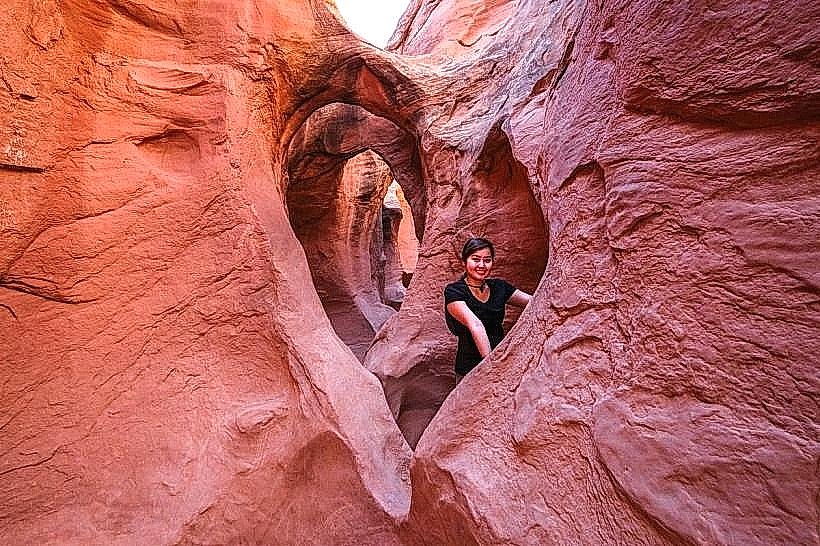
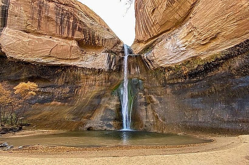
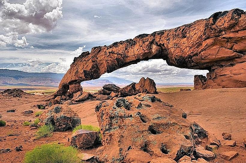
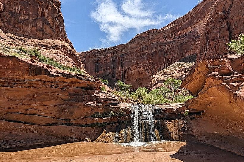
The canyon walls are composed of Navajo Sandstone, exhibiting hues of red, orange, and tan. The canyon floor is characterized by a sandy substrate interspersed with water-worn rocks and vegetation, primarily cottonwood trees and various desert shrubs. Natural arches, such as Jacob Hamblin Arch and Coyote Natural Bridge, are prominent features. Water flow, when present, is typically clear and shallow, forming small pools and cascades.
Location & Access Logistics
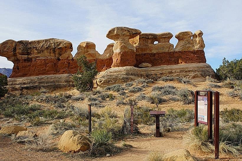
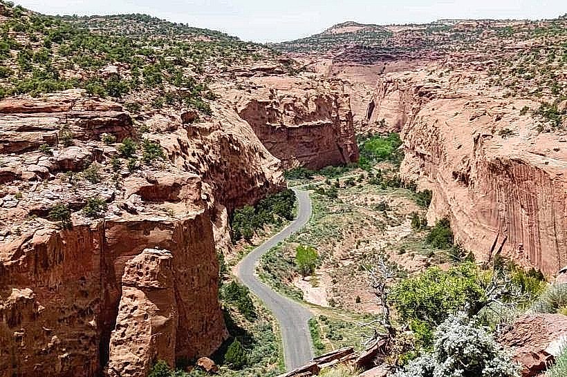
Access to Coyote Gulch is primarily from Hole-in-the-Rock Road, approximately 50 miles south of Escalante, Utah. The trailhead is located at the end of a 5-mile dirt road, accessible by high-clearance vehicles. Parking is available at the trailhead. Public transport is not available to the trailhead. The hike into the gulch is approximately 5 miles one-way to the Escalante River confluence.
Historical & Ecological Origin
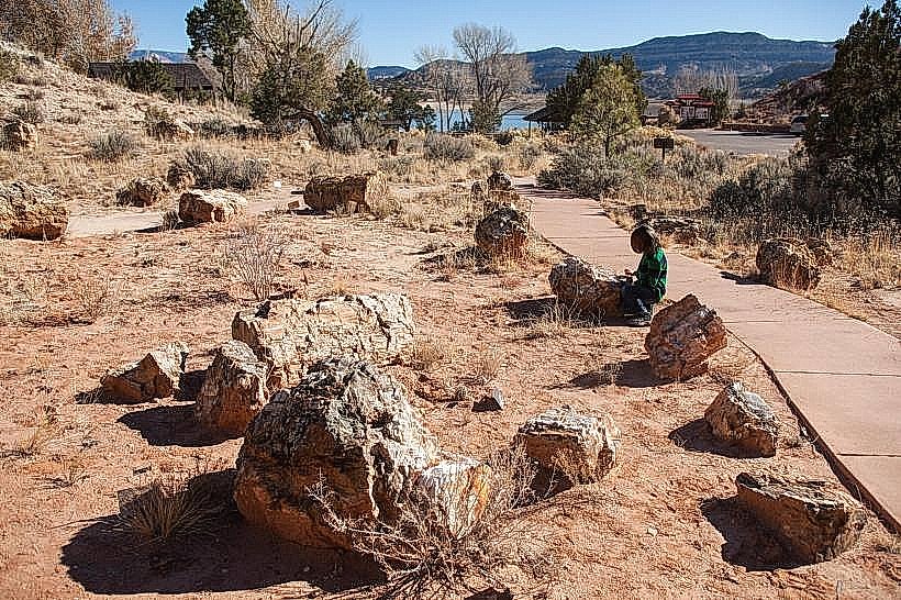
Coyote Gulch was carved by intermittent water flow over millions of years through the Navajo Sandstone formation. The area is part of the Colorado Plateau's geological history. Historically, the gulch was used by indigenous peoples and later by Mormon pioneers, with evidence of their presence in the form of inscriptions and structures.
Key Highlights & Activities
Hiking the length of the gulch is the primary activity. Specific points of interest include Jacob Hamblin Arch, Coyote Natural Bridge, and the numerous smaller arches and alcoves along the route. Wading through water may be necessary depending on recent precipitation. Photography is a common activity due to the unique geological formations and light conditions within the canyon.
Infrastructure & Amenities
No developed infrastructure or amenities exist within Coyote Gulch itself. Visitors should carry all necessary water, food, and supplies. Cell phone signal is unreliable to non-existent within the canyon. Restrooms are not available at the trailhead or within the gulch.
Best Time to Visit
The best months for visiting Coyote Gulch are April, May, September, and October, offering moderate temperatures. Midday can be hot, with early morning and late afternoon providing optimal lighting for photography due to the canyon's orientation. Flash flood potential exists during monsoon season (July-September), making it crucial to check weather forecasts.
Facts & Legends
A notable feature is the "Weeping Rock," a section of the canyon wall where water seeps consistently, supporting lush vegetation. The name "Coyote Gulch" is attributed to the historical presence of coyotes in the region.
Nearby Landmarks
- Jacob Hamblin Arch (0.5km North)
- Coyote Natural Bridge (1.2km North)
- Fortymile Ridge (3km West)
- Escalante River (5km East)
- Devil's Garden (4km Northwest)