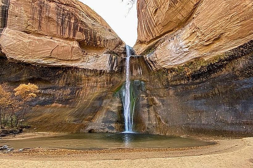
Landmark: Calf Creek Falls
City: Escalante
Country: USA Utah
Continent: North America
Calf Creek Falls, Escalante, USA Utah, North America
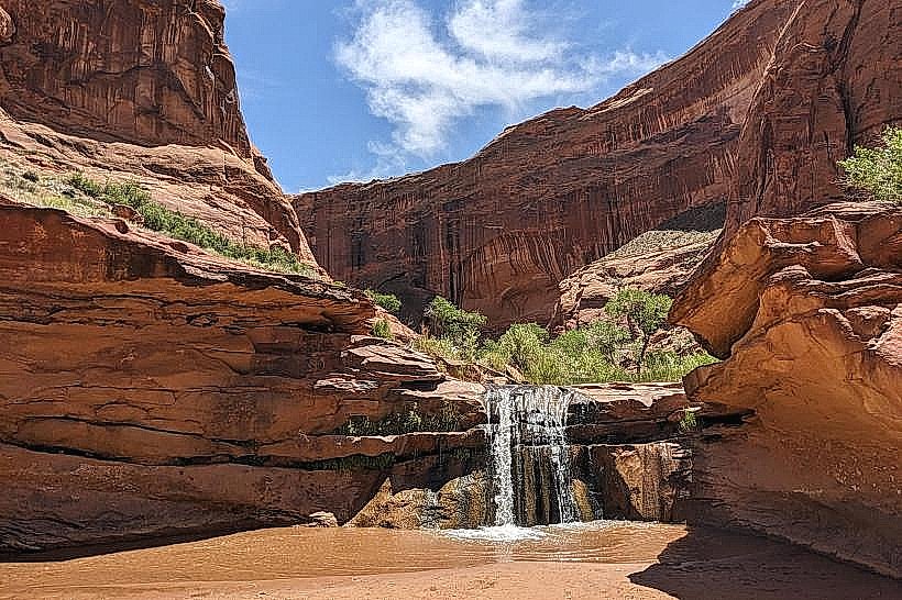
Calf Creek Falls is a waterfall located in Grand Staircase-Escalante National Monument, Utah, USA. It is a significant natural feature within the monument's canyon system.
Visual Characteristics
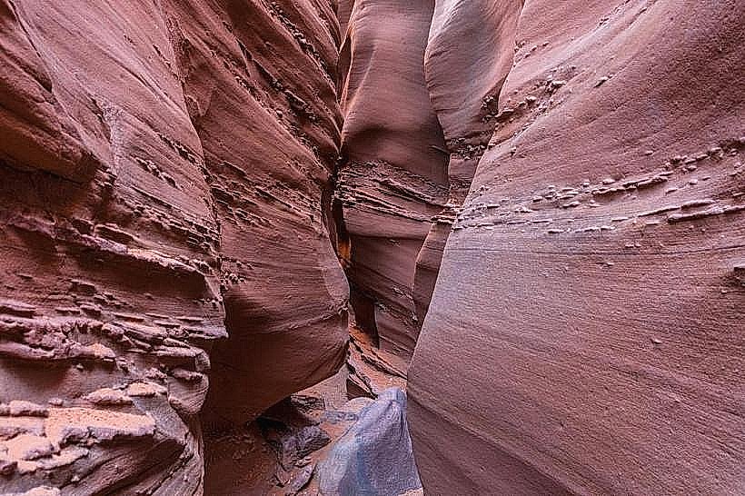
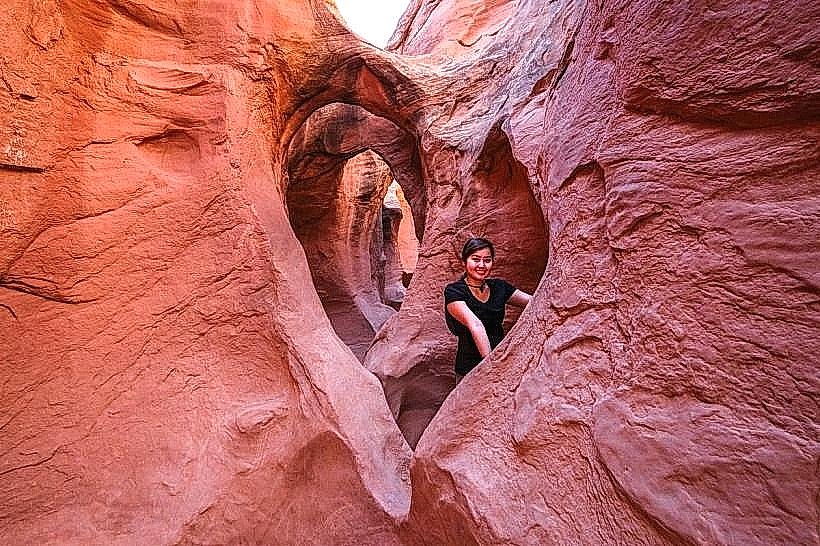
The falls descend approximately 126 feet (38 meters) over a sandstone cliff face. The water pools at the base, forming a clear, often turquoise-colored pool. The surrounding canyon walls are composed of Navajo Sandstone, exhibiting various shades of red, orange, and cream. Pinyon pine and juniper trees are common on the upper rim, while riparian vegetation, including cottonwood trees and various shrubs, grows near the water source.
Location & Access Logistics
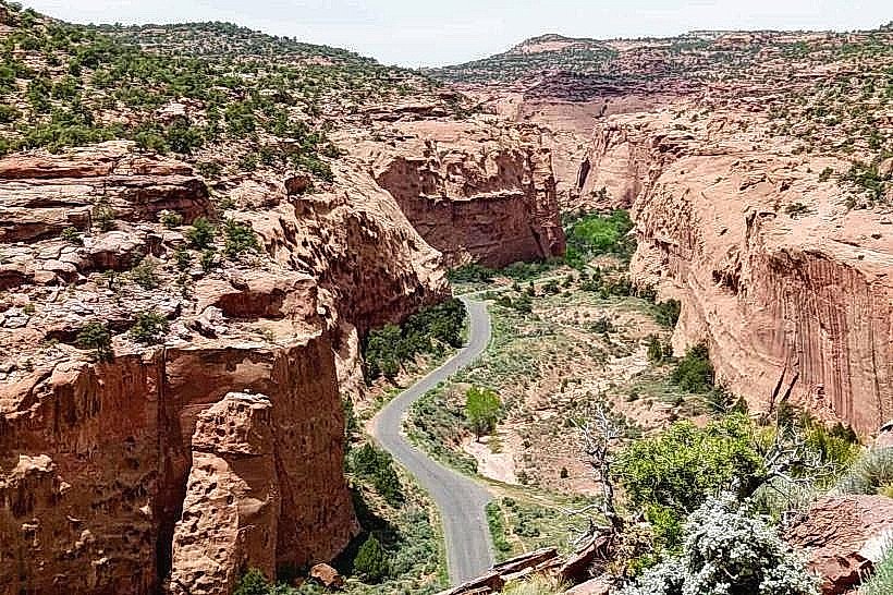
Calf Creek Falls is accessed via the Lower Calf Creek Falls Trailhead, located off State Route 12 (Scenic Byway 12). The trailhead is approximately 15 miles (24 km) east of Escalante, Utah. The trail is 6 miles (9.7 km) one-way, totaling 12 miles (19.3 km) roundtrip. Parking is available at the trailhead, which can fill quickly during peak seasons. No public transport directly serves the trailhead.
Historical & Ecological Origin
The sandstone formations in the area were deposited as sand dunes during the Jurassic period, approximately 180 million years ago. Over geological time, these dunes were lithified and subsequently eroded by water and wind, forming the canyons and cliffs seen today. The waterfall itself is a result of differential erosion, where harder rock layers protect softer underlying layers from erosion, creating the overhang and drop.
Key Highlights & Activities
Hiking the Lower Calf Creek Falls Trail is the primary activity. Swimming is permitted in the pool at the base of the falls when conditions allow. Photography of the falls and canyon scenery is common. Visitors can observe petroglyphs on the canyon walls along the trail.
Infrastructure & Amenities
Restrooms are available at the Lower Calf Creek Falls Trailhead. Shaded areas are limited along the trail, with more shade present near the falls. Cell phone signal is generally unreliable within the canyon. No food vendors are present at the trailhead or along the trail; visitors must carry all necessary food and water.
Best Time to Visit
The best time of day for photography is generally mid-morning or late afternoon to avoid harsh overhead light. The best months for visiting are April through June and September through October, offering moderate temperatures. Summer months (July-August) can be extremely hot, with daytime temperatures frequently exceeding 100°F (38°C). High tide is not a relevant factor for this inland waterfall.
Facts & Legends
A unique feature of the area is the presence of a historic "store" built by prospectors in the early 20th century, located near the falls. It is a preserved structure offering a glimpse into early settlement history. The water temperature of the pool at the base of the falls is consistently cool, even during hot summer months.
Nearby Landmarks
- Grand Staircase-Escalante National Monument Visitor Center (15km West)
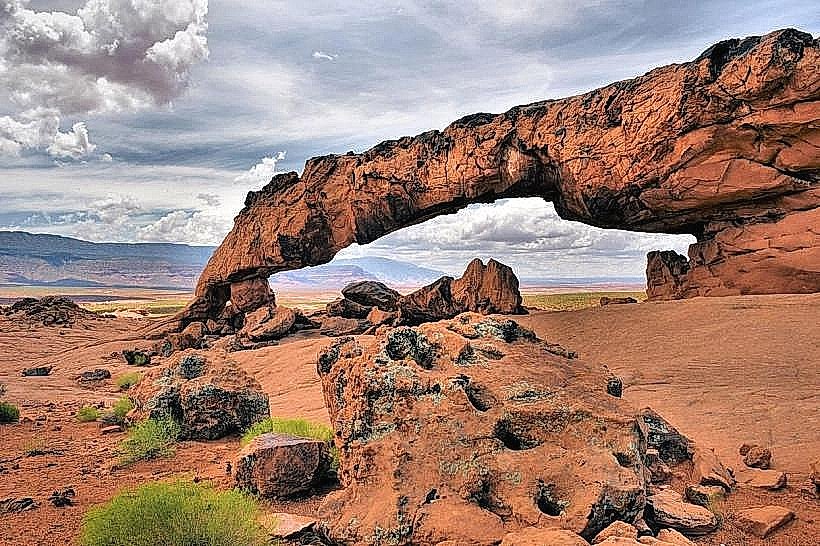
- Devil's Garden (18km East)
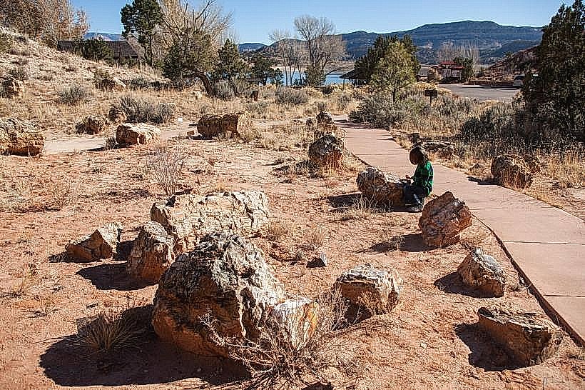
- Escalante Petrified Forest State Park (20km West)
- Hole-in-the-Rock Road (Access point 10km West)