Landmark: Hole-in-the-Rock Road
City: Escalante
Country: USA Utah
Continent: North America
Hole-in-the-Rock Road, Escalante, USA Utah, North America
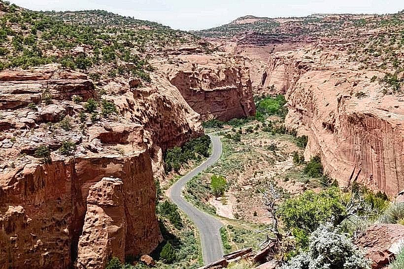
Hole-in-the-Rock Road is a 57-mile unpaved route extending southeast from Escalante, Utah. It leads to the geological formation known as Hole-in-the-Rock.
Visual Characteristics
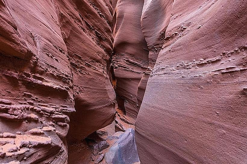
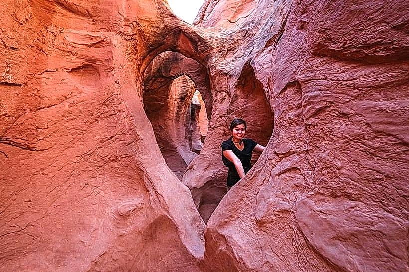
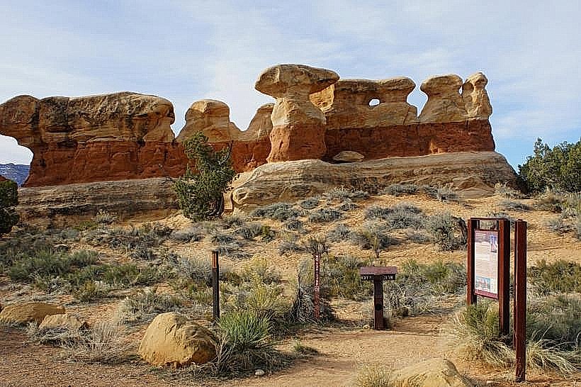
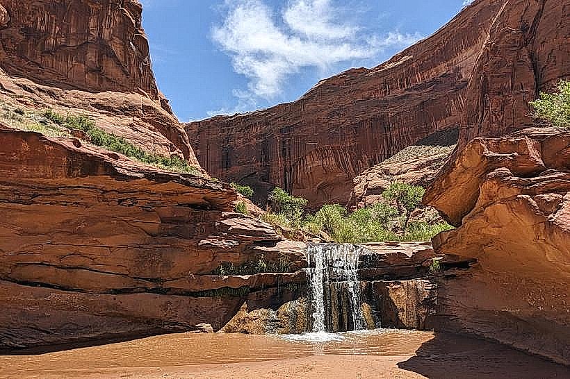
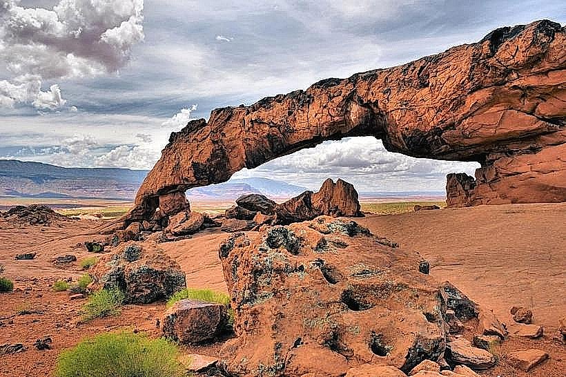
The road itself is primarily composed of packed dirt and gravel, with sections of loose rock and sand. It traverses varied desert terrain, including slickrock formations, canyons, and mesas. The surrounding landscape features sandstone cliffs in shades of red, orange, and cream, with sparse desert vegetation such as juniper, pinyon pine, and sagebrush. The destination, Hole-in-the-Rock, is a large opening eroded through a sandstone fin, offering panoramic views of Lake Powell.
Location & Access Logistics
The entrance to Hole-in-the-Rock Road is located 3 miles east of Escalante, Utah, on the south side of Highway 12. The road is unpaved and maintained by the Bureau of Land Management (BLM). High-clearance vehicles are recommended, and 4WD is advised for the final 5 miles, especially after rain. Parking is available at the trailhead near the Hole-in-the-Rock formation. No public transport services this location.
Historical & Ecological Origin
The Hole-in-the-Rock formation is a result of natural erosion by wind and water over millennia. The road was originally constructed in the 1930s by local ranchers and settlers to access the Glen Canyon area for cattle grazing and exploration. The geological area is part of the Colorado Plateau, characterized by sedimentary rock layers.
Key Highlights & Activities
Hiking to the Hole-in-the-Rock viewpoint is the primary activity. Visitors can explore the area around the formation and observe the geological features. Photography is popular due to the unique rock formations and expansive views. The final section of the road requires careful navigation.
Infrastructure & Amenities
There are no developed facilities along Hole-in-the-Rock Road. Restrooms are not available. Shade is minimal, provided only by natural rock overhangs. Cell phone signal is unreliable to non-existent for most of the route. No food vendors are present; visitors must bring their own supplies.
Best Time to Visit
The best time for photography is during the morning or late afternoon when the sun angle creates shadows that highlight the rock formations. Spring (April-May) and Fall (September-October) offer the most pleasant temperatures for outdoor activities. Summer months (June-August) can be extremely hot. The road can become impassable after heavy rain or snow, so checking current conditions with the Escalante BLM office is advisable.
Facts & Legends
The Hole-in-the-Rock formation is a natural arch that was once part of a larger sandstone fin. Local lore suggests that early settlers used the hole as a lookout point. The road's rough condition is a testament to its origins as a primitive access route.
Nearby Landmarks
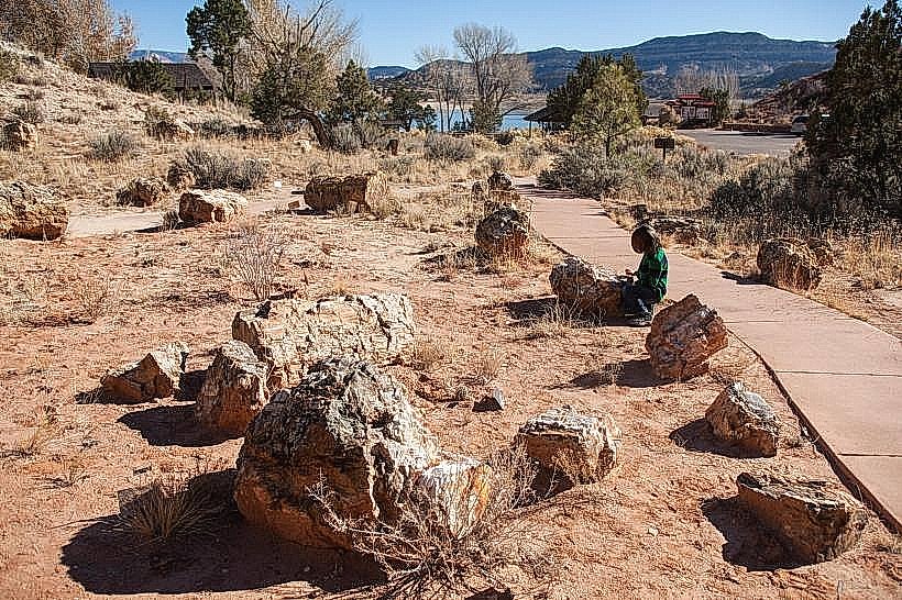
- 0.5km Northwest: Escalante Petrified Forest State Park
- 3.0km West: Escalante Interagency Visitor Center
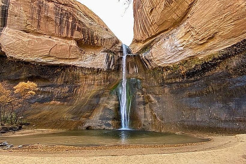
- 15.0km Northwest: Calf Creek Recreation Area
- 40.0km Southeast: Glen Canyon National Recreation Area (via Lake Powell access points)