Landmark: Devil’s Garden
City: Escalante
Country: USA Utah
Continent: North America
Devil’s Garden, Escalante, USA Utah, North America
Devil's Garden is a geological formation located in Grand Staircase-Escalante National Monument, near Escalante, Utah, USA.
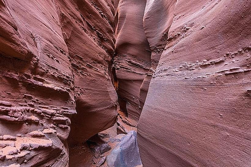
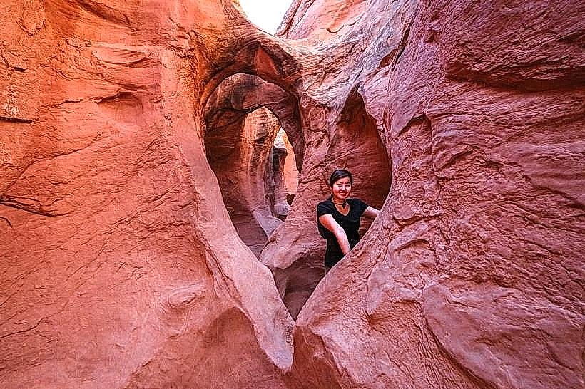
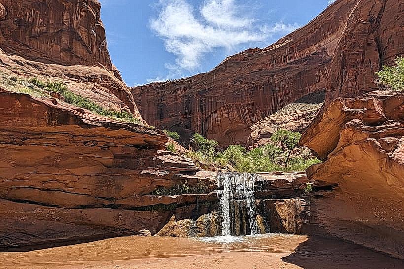
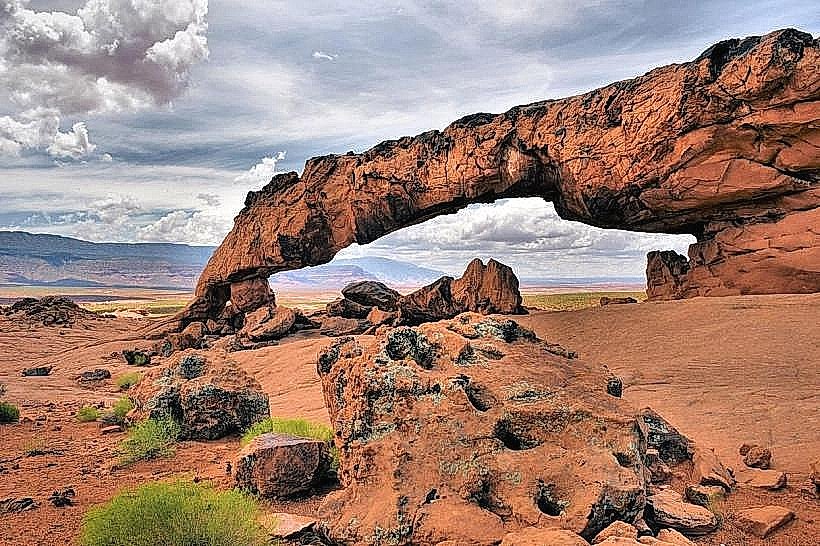
This area is characterized by a network of sandstone fins, arches, and canyons.
Visual Characteristics
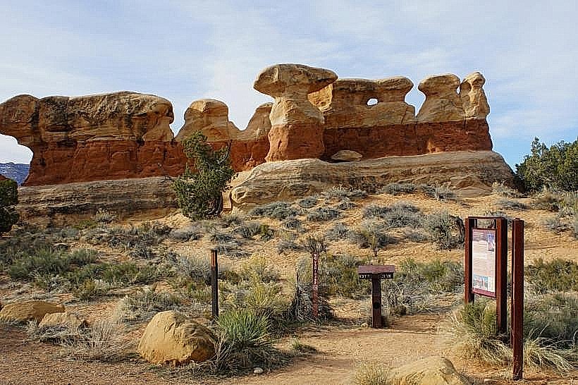
The landscape consists of Entrada Sandstone formations exhibiting differential erosion. Colors range from pale orange to deep red, with visible cross-bedding and ripple marks. The area features numerous natural sandstone arches, some spanning significant distances. Slot canyons are present, with narrow passages carved by water erosion.
Location & Access Logistics
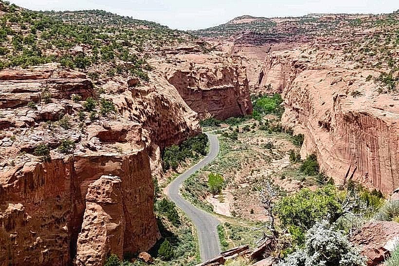
Devil's Garden is accessed via Hole-in-the-Rock Road (BLM Road 200), approximately 25 miles south of Escalante. The turnoff is marked. The road is unpaved and can be rough; high-clearance vehicles are recommended. Parking is available at the trailhead. No public transport services this location.
Historical & Ecological Origin
Devil's Garden is a product of aeolian deposition during the Jurassic period, followed by millions of years of erosion by wind and water. The sandstone layers preserve ancient dune structures. The area is part of the Colorado Plateau's geological province.
Key Highlights & Activities
Hiking is the primary activity. The main trail system includes loops and spurs leading to various arches. Specific arches include:
- Landscape Arch: One of the longest natural arches in the world.
- Tunnel Arch
- Pine Tree Arch
- Wall Arch (collapsed in 2008)
Exploration of slot canyons requires navigation skills and appropriate gear.
Infrastructure & Amenities
A primitive trailhead parking area is present. No restrooms, shade structures, or food vendors are available at the trailhead or within the immediate hiking area. Cell phone signal is unreliable to non-existent.
Best Time to Visit
For photography, early morning and late afternoon provide optimal lighting on the sandstone formations. The best months for hiking are April-May and September-October, avoiding extreme summer heat and winter snow. Summer temperatures can exceed 35°C (95°F).
Facts & Legends
The name "Devil's Garden" is attributed to early explorers who found the maze-like canyons and unusual rock formations disorienting and challenging to navigate. A specific geological feature is the presence of "hoodoos" or balanced rocks, precariously perched on narrow pedestals.
Nearby Landmarks
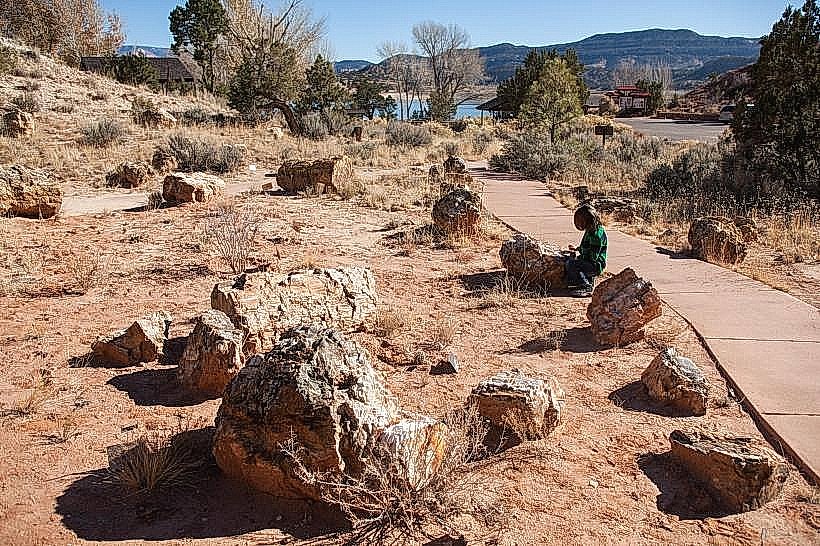
- Escalante Petrified Forest State Park (15km Northwest)
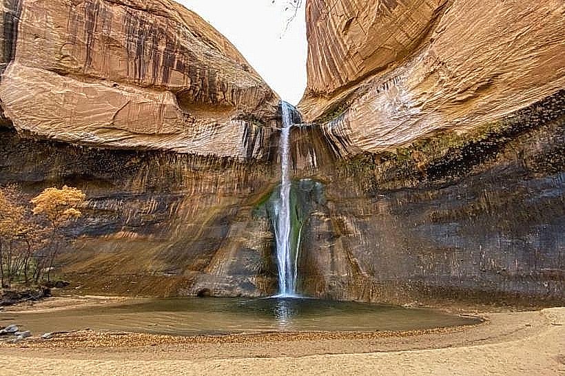
- Calf Creek Recreation Area (10km Southwest)
- Hole-in-the-Rock (40km Southeast)
- Grand Staircase-Escalante National Monument Visitor Center (25km Northwest)