Landmark: Cassidy Arch Trail
City: Torrey
Country: USA Utah
Continent: North America
Cassidy Arch Trail, Torrey, USA Utah, North America
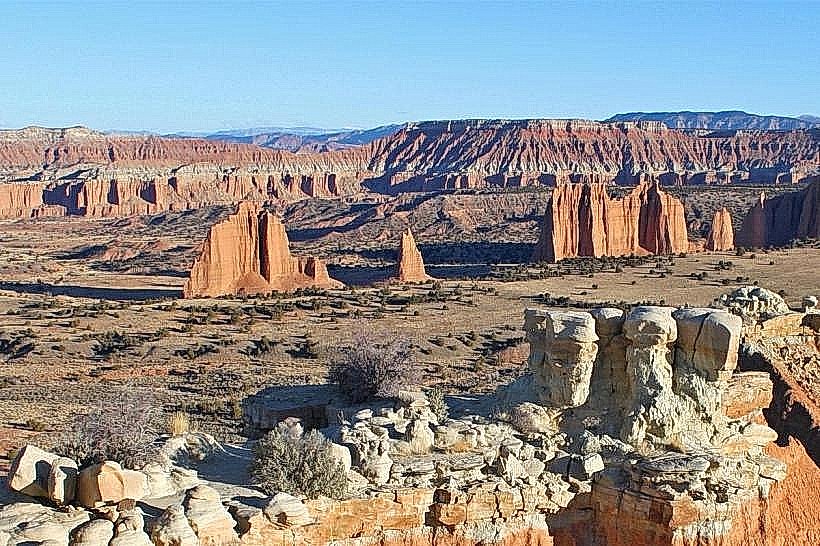
Cassidy Arch Trail is a 0.5-mile (0.8 km) loop trail located in Capitol Reef National Park, near Torrey, Utah. It leads to a natural sandstone arch.
Visual Characteristics
The trail traverses slickrock formations composed of Navajo Sandstone. The arch itself is a large, free-standing sandstone bridge with an opening approximately 40 feet (12 m) wide and 30 feet (9 m) high. The sandstone exhibits hues of red, orange, and cream, varying with sunlight intensity.
Location & Access Logistics
The trailhead is situated off the Scenic Drive within Capitol Reef National Park. From the park entrance station, proceed 11 miles (17.7 km) south on the paved Scenic Drive. The trailhead parking area is on the right. No public transport services the trailhead. Parking is limited to approximately 15 vehicles.
Historical & Ecological Origin
The arch is a product of differential erosion, where softer sandstone layers erode faster than harder caprock, creating an opening. The Navajo Sandstone formation dates back to the Jurassic period, representing ancient desert dune fields.
Key Highlights & Activities
The primary activity is hiking the loop trail to view and walk under Cassidy Arch. The trail involves some scrambling over rock surfaces. Photography is possible from various vantage points along the trail and from beneath the arch.
Infrastructure & Amenities
A small, unpaved parking area is available at the trailhead. No restrooms, shade structures, or food vendors are present at the trailhead. Cell phone signal is intermittent to non-existent within the park.
Best Time to Visit
For photography, early morning or late afternoon provides optimal lighting conditions on the sandstone. The months of April, May, September, and October offer the most temperate weather. Summer months (June-August) can experience high temperatures exceeding 90°F (32°C).
Facts & Legends
The arch is named after Butch Cassidy, the outlaw, who is rumored to have used it as a hiding place. However, there is no definitive historical evidence to support this claim.
Nearby Landmarks
- 0.8km Southwest: Hickman Bridge Trailhead
- 1.5km Southwest: Capitol Gorge Visitor Center
- 2.0km Southwest: Fruita Orchards
- 3.5km Southwest: Goosenecks Overlook
- 4.0km Southwest: Panorama Point